 Sungai Kinta, Perak (19 October, 2018)
Sungai Kinta is one of the main rivers in Perak. It is the river that flows through the state capital, Ipoh. The source of Sungai Kinta is somewhere at the foot of Gunung Yong Belar, near the border of Perak and Kelantan, in the upper reaches of the Ulu Kinta Recreational Forest.
Sungai Kinta flows through an area rich in tin ore, known as the Kinta Valley. This area has protruding limestone hills and karst outcrops, but due to tin mining over the past century, is today pockmarked with mining pools.
Map of Sungai Kinta
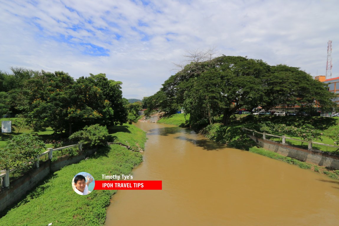 Sungai Kinta in Ipoh separating Old Town (left) from New Town (right) (19 October, 2018)
 Sungai Kinta in Ipoh (19 October, 2018)
 Sungai Kinta signboard (19 October, 2018)
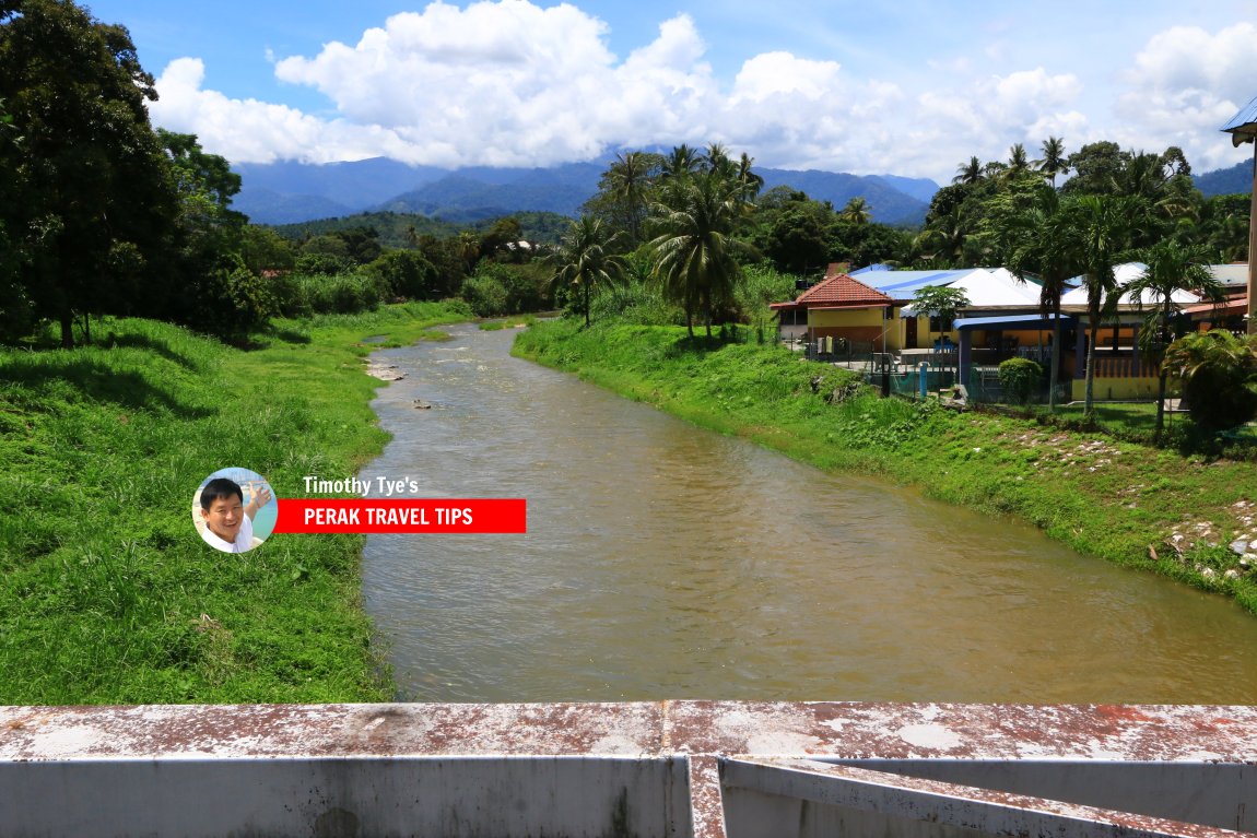 Sungai Kinta, Perak (13 August, 2017)
 Sungai Kinta signboard at the bridge in Tanjung Rambutan. (13 August, 2017)
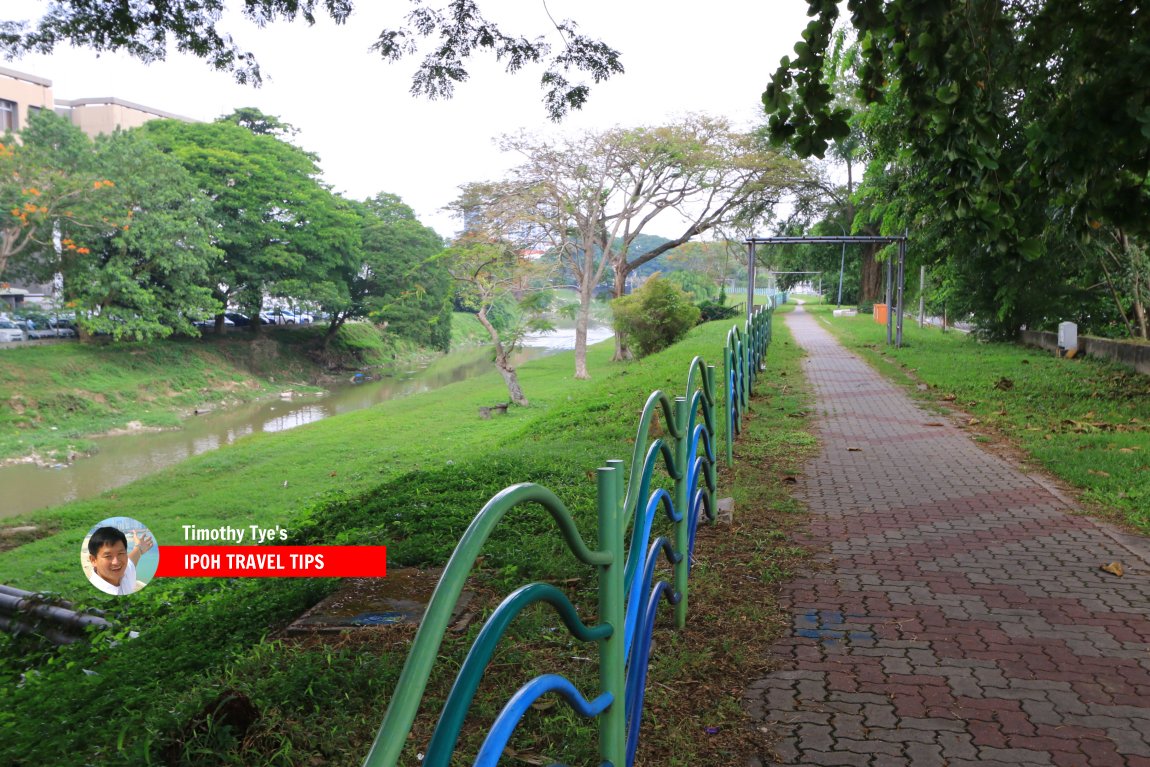 Sungai Kinta riverside walk in Ipoh (3 May, 2016)
 Sungai Kinta as it flows through the Ulu Kinta Recreational Forest (31 January, 2006)
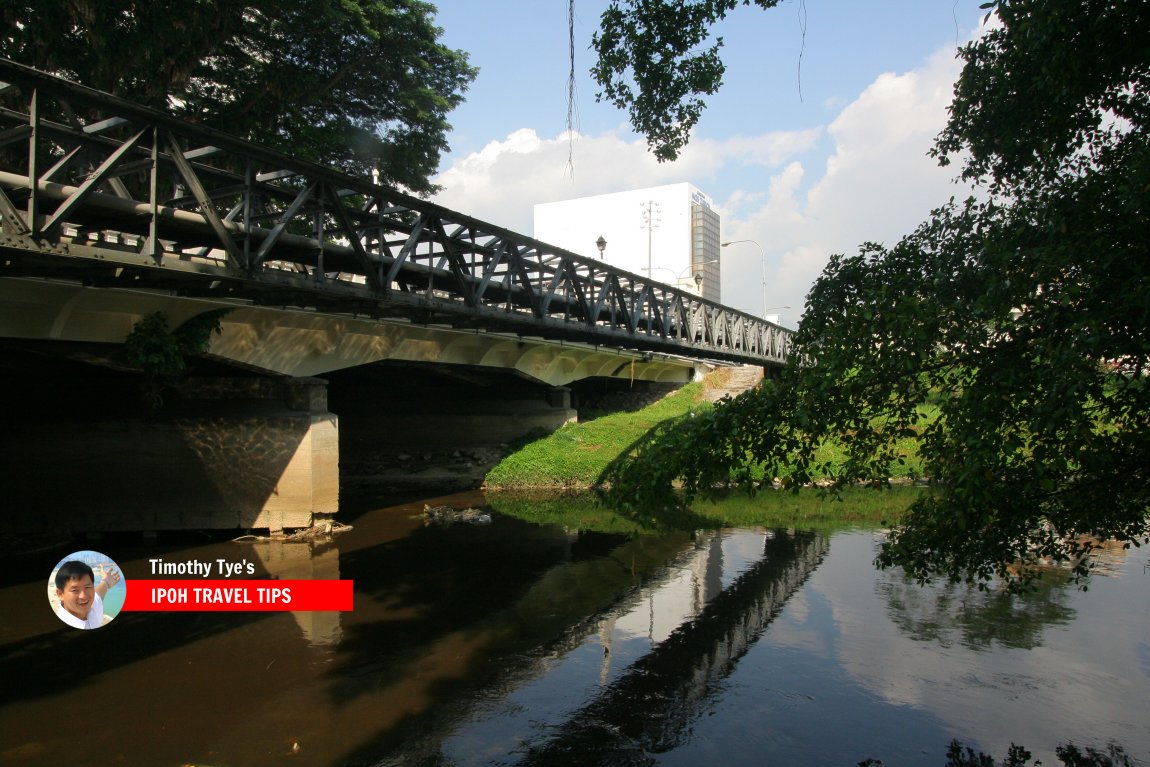 Sungai Kinta flowing through Ipoh (19 August, 2006)
360° View of Sungai Kinta on Google Maps Street View
Sungai Kinta, as seen from Lorong Lahat in IpohBack to Discover Perak mainpage; list of Rivers in Perak and Rivers in Malaysia
 Latest updates on Penang Travel Tips

Copyright © 2003-2025 Timothy Tye. All Rights Reserved.

 Go Back