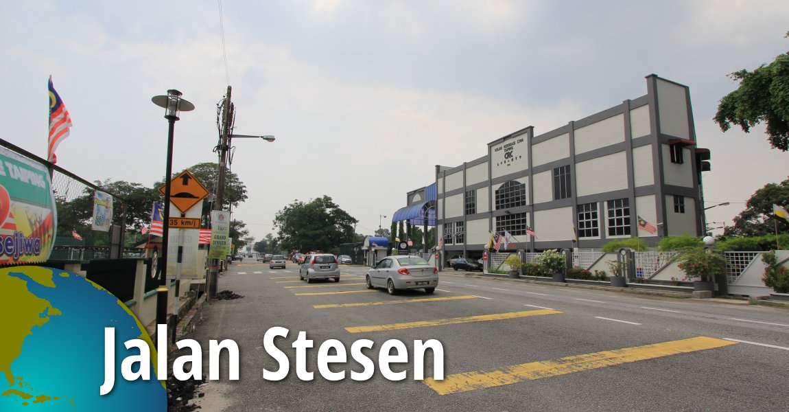
 Jalan Stesen, Taiping (31 August, 2015)
Jalan Stesen is a road in Taiping town. Originally called Station Road, wraps around the north side of town, with one end at Jalan Barrack and the other at Jalan Taming Sari. The road got its name because it is the road serving the Taiping Railway Station.
Map of Jalan Stesen, Taiping
What to eat at Jalan Stesen
- Pork Noodle and Curry Noodle at Kedai Makanan OK were recommended by WengKeong Lau on 3 September, 2019
Sights in Jalan Stesen
- Ceylon Association (GPS: 4.8535, 100.73906)

- Children's Home Taiping (GPS: 4.8477, 100.73315)

- Chinese Recreation Club (GPS: 4.85326, 100.73732)

- Dewan Arif Budiman (GPS: 4.85342, 100.73829)

- Dewan YMHA (GPS: 4.8477, 100.73315)

- Gurdwara Sahib Taiping (GPS: 4.84835, 100.7327)

- Hong Leong Bank Taiping (GPS: 4.8477, 100.73315)

- HSBC Taiping (GPS: 4.84665, 100.73315)

- Kediaman Kakitangan Hospital Taiping (GPS: 4.85106, 100.73114)

- Old Railway Station (GPS: 4.85106, 100.73114)

- Persatuan Murid-Muria Tua Edwardian (GPS: 4.85377, 100.73879)

- Pos Malaysia Taiping (GPS: 4.85486, 100.74171)

- Rumah Seri Kenangan Taiping (GPS: 4.8477, 100.73315)

- SJK (T) Young Men's Hindu Association (GPS: 4.84758, 100.73324)

- SK King Edward VII (GPS: 4.85422, 100.73925)

- SMK St George (GPS: 4.85266, 100.73756)

- Sri Sithi Vinayagar Temple (GPS: 4.84785, 100.73302)

- Taiping Railway Station (GPS: 4.85294, 100.73248)

- TMPoint Taiping (GPS: 4.85503, 100.74197)

- Town Rest House (GPS: 4.84758, 100.73324)

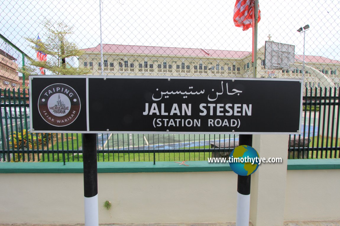
 Jalan Stesen roadsign (31 August, 2015)
Jalan Stesen on Google Maps Street View
Jalan Stesen (Aug 2016)Back to Discover Taiping, Perak mainpage; list of Streets of Taiping, Streets of Perak and Streets of Malaysia
 Latest updates on Penang Travel Tips

Copyright © 2003-2025 Timothy Tye. All Rights Reserved.

 Go Back