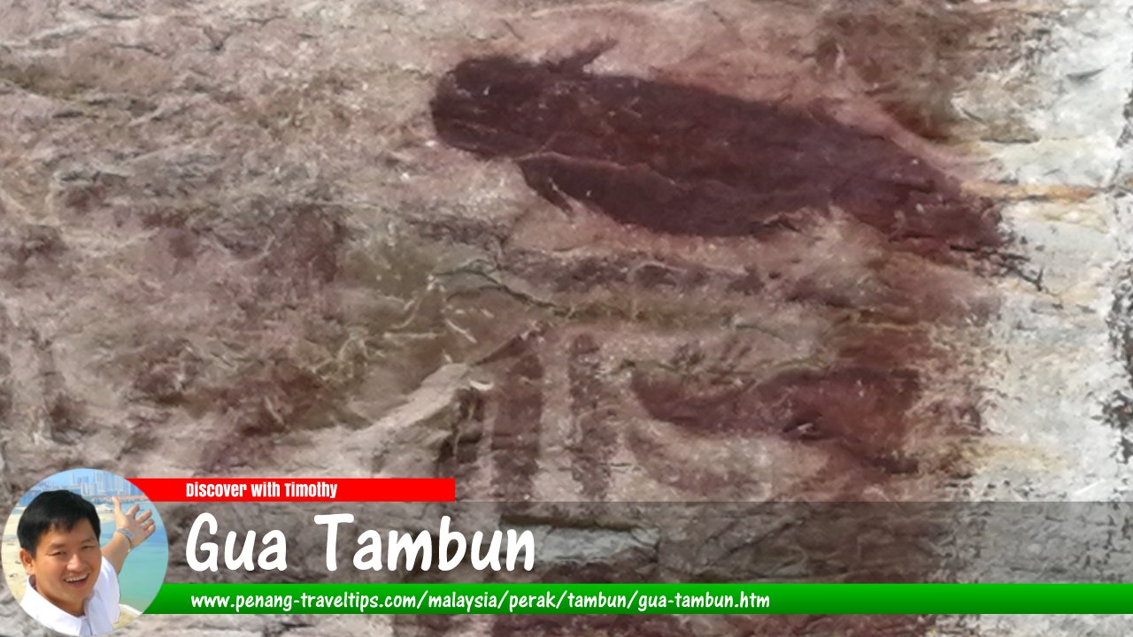
 Gua Tambun Prehistoric Rock Art (10 August, 2019)
Gua Tambun Prehistoric Rock Art (GPS: 4.60249, 101.13072; roadside at 4.6064, 101.1296) is a site of prehistoric rock art in Malaysia. It is located in Tambun, a northern suburb of Ipoh, Perak. The prehistoric rock art here is regarded as one of the most important in the country. The site was gazetted as a National Heritage Site in 2010 and protected by the National Heritage Act 2005.
The Neolithic paintings of Gua Tambun were discovered by a British soldier, 2nd Lieutenant R.L. Rawlings of the 2nd Battalion of the 6th Queen Elizabeth II's Gurkha Rifles regiment in May, 1959. They are estimated to be between 2,000 and 12,000 years old, and were probably painted using haematite, an iron oxide compound, by ancestors of modern-day Orang Asli.
The Gua Tambun rock art is featured on the western face of Gunung Panjang, a 1,150-feet karst outcrop of light grey marble of Devonian limestone.
Discover with Timothy YouTube Channel
Gua Tambun is  on the Map of Tambun, Perak
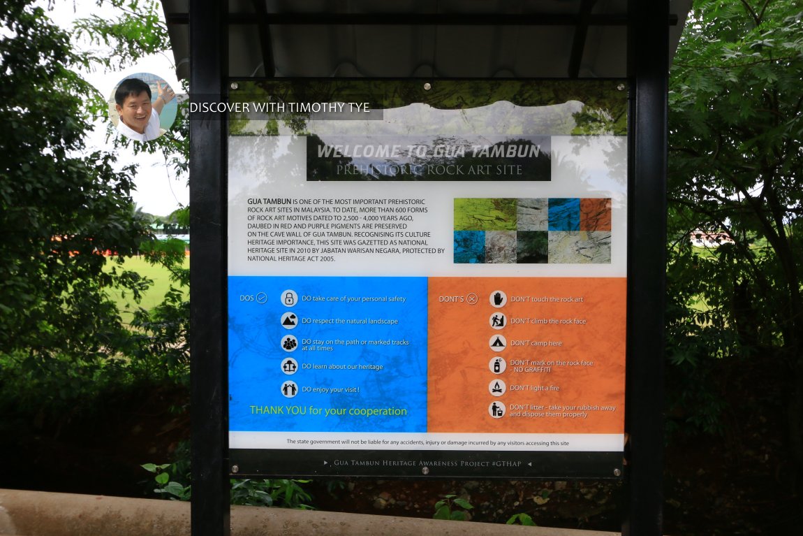 Signage at the entrance. (10 August, 2019)
My visit to the Tambun Prehistoric Rock Art
I made an impromptu visit to find the prehistoric rock art of Gua Tambun on 12 August, 2017. Alas, I was unable to find it. I should have come with someone who has the knowledge of its whereabouts, but didn't have a chance to make the arrangements. My wife and I explored the rocks in the area before turning back.Despite the unsuccessful first visit, the thought of viewing Gua Tambun's prehistoric rock art lingered in my mind. So on 10 August, just 2 days shy of exactly two years later, my wife and I made another trip to the site to find the rock art.
Actually it was my wife who encouraged me to try again. We were in Ipoh at that time, and she suggested that we gave it one more shot. So we returned to the site (GPS: 4.60249, 101.13072), which is off Selasar Taman Tambun. At the entrance, you can see signboards about Gua Tambun. That was where we went the last time, but we turned back half way.
The first part of the journey is the hardest, because we passed by a jungle area that is well over grown. There is a stream on our right.
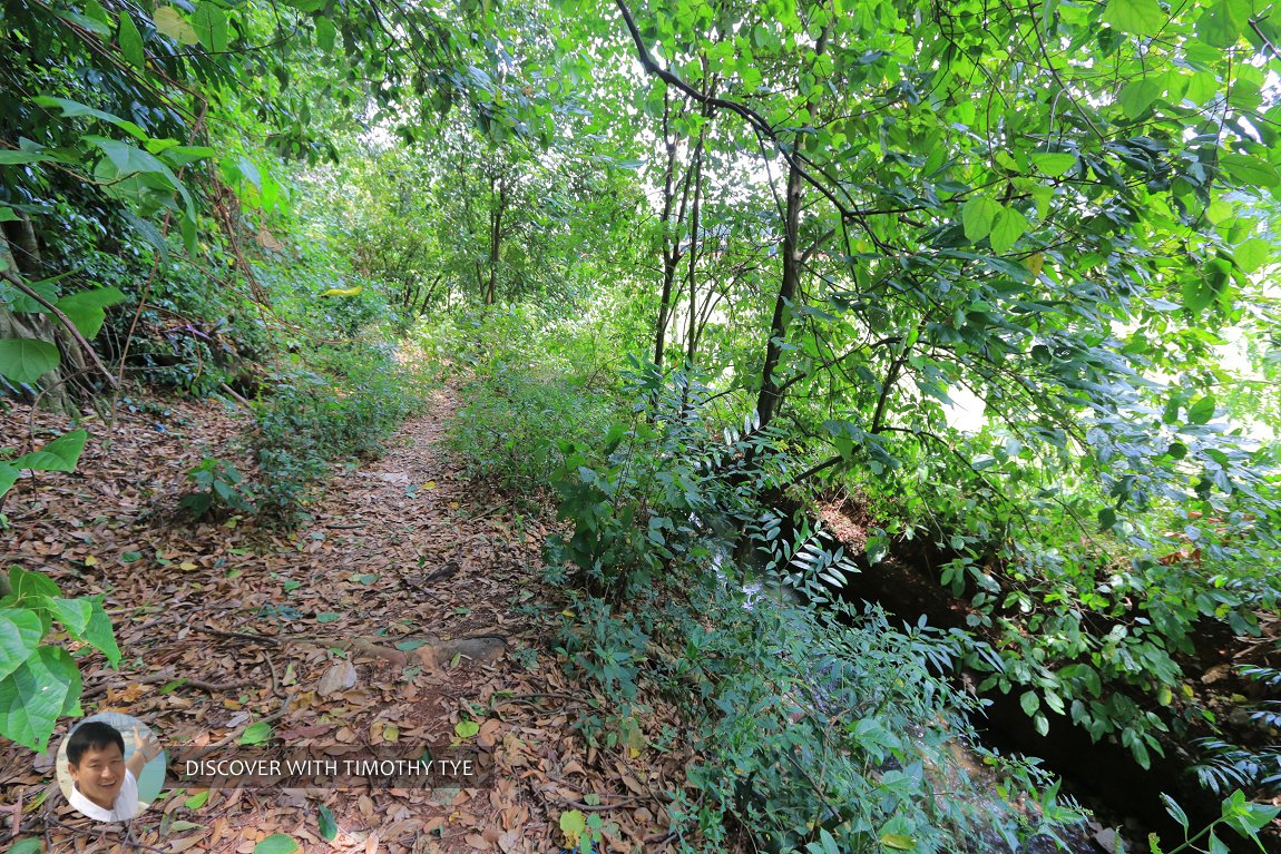 This is the route to the Tambun Prehistoric Rock Art. You can glimpse a stream to the right. (10 August, 2019)
This time, instead of turning back, we persevered, and eventually the dense vegetation gave way to a clearing. I can see that on our right, the side of the stream, far away, is a military camp, the Batalion Kedua Rejimen Renjer Diraja.
One thing about the clearing. Someone has left a few horses there. Yeah, horses.
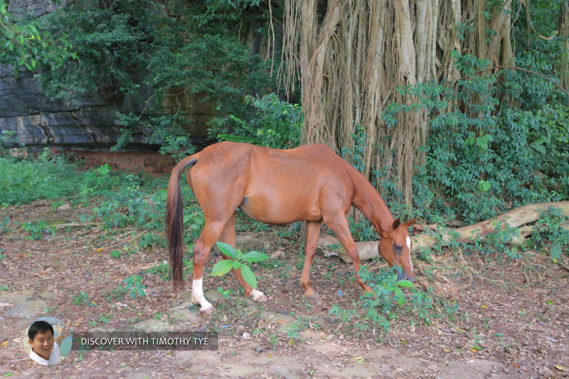 One of the three horses in the clearing. (10 August, 2019)
We made our way past the horses, careful not to get too near for fear of getting a kick from them. On the same side as the military camp is a polo ground. So the horses must be from there.
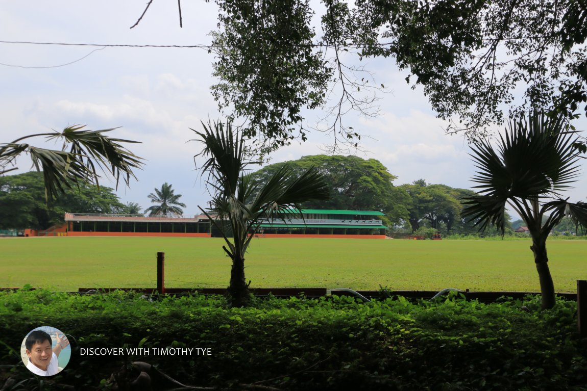 BP Polo Club in Tambun, Perak. (10 August, 2019)
Now the path has widened up.
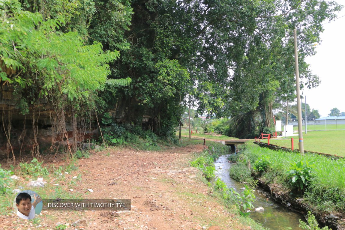 The path is wider now, and the stream is still to the right. (10 August, 2019)
We passed by a few caves - if that's what you can call them - which are at the base of the limestone outcrop.
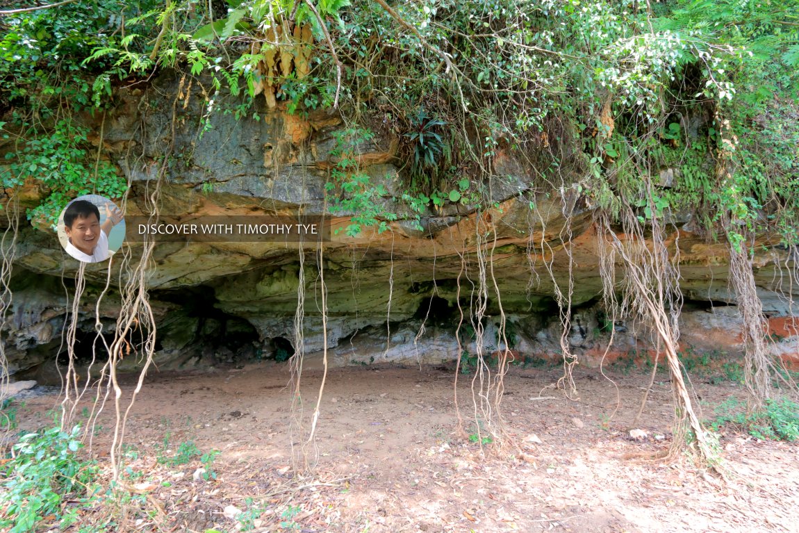 Cave at the base of the limestone outcrop. (10 August, 2019)
Then I came upon a signboard pointing me to the rock that. That confirms that I was on the right track this time.
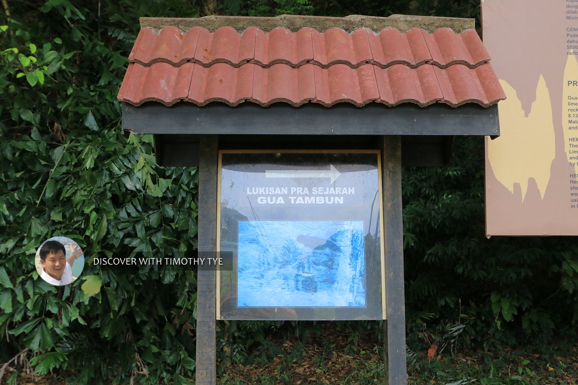 Signboard pointing the direction to the rock art. (10 August, 2019)
Next to the signboard is another board providing an introduction to the prehistoric rock art.
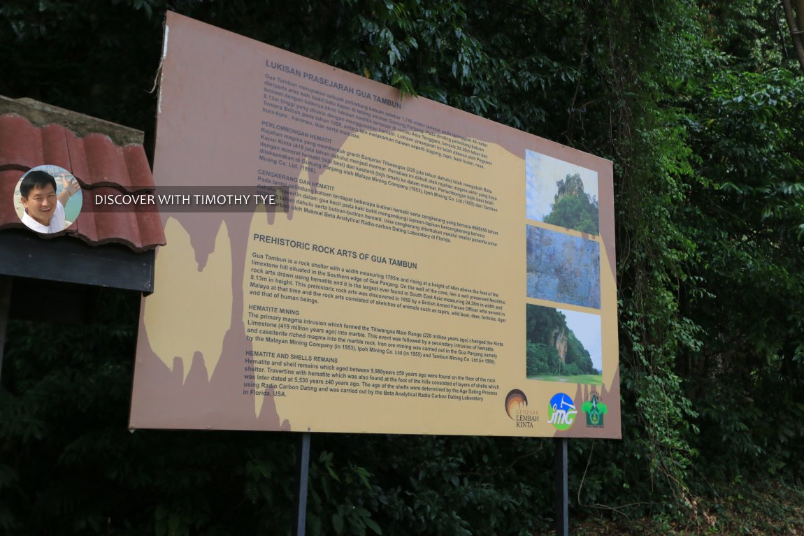 Prehistoric rock arts of Gua Tambun. (10 August, 2019)
I looked at the sides of the cave, but saw no rock art on them.
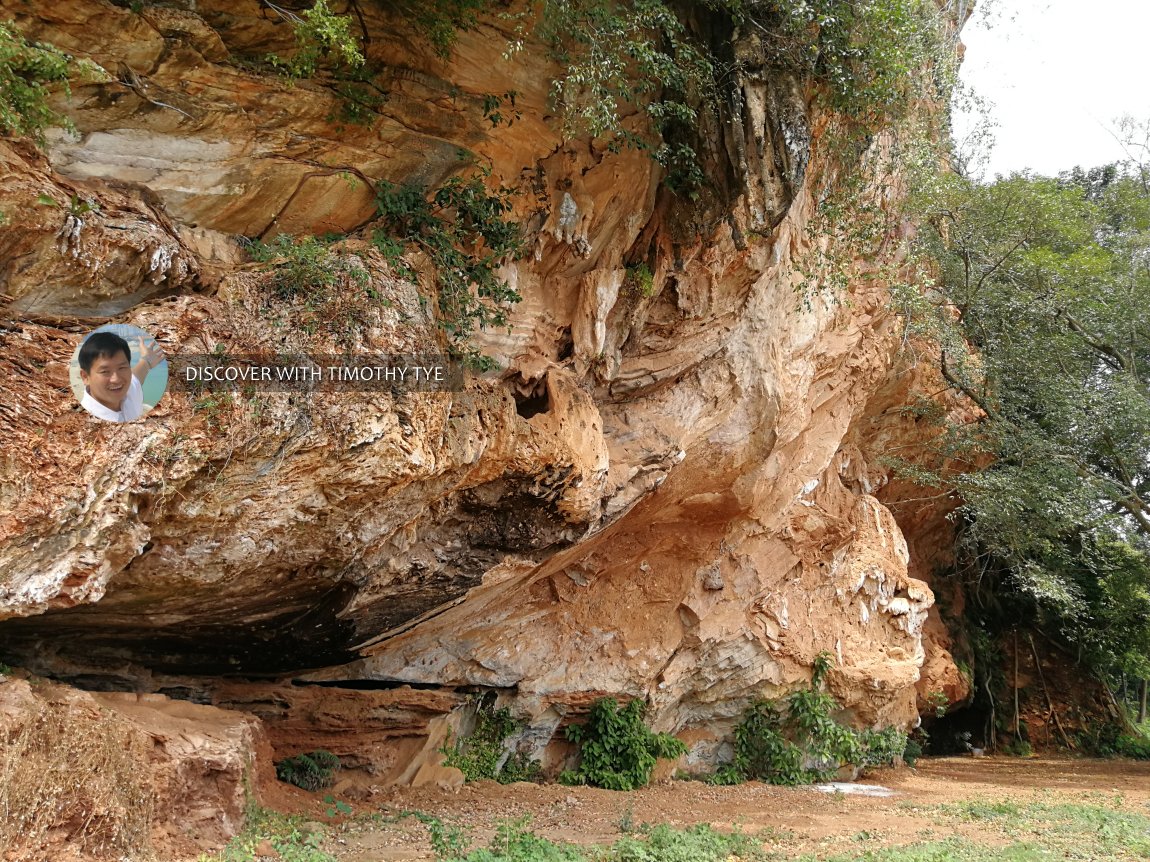 I tried to find rock art on the walls of the caves, but found nothing. Of course, I was searching the wrong place. (10 August, 2019)
Further on down the laterite path, there is a pavilion with roof ridges that curve upwards. I knew I was on to something.
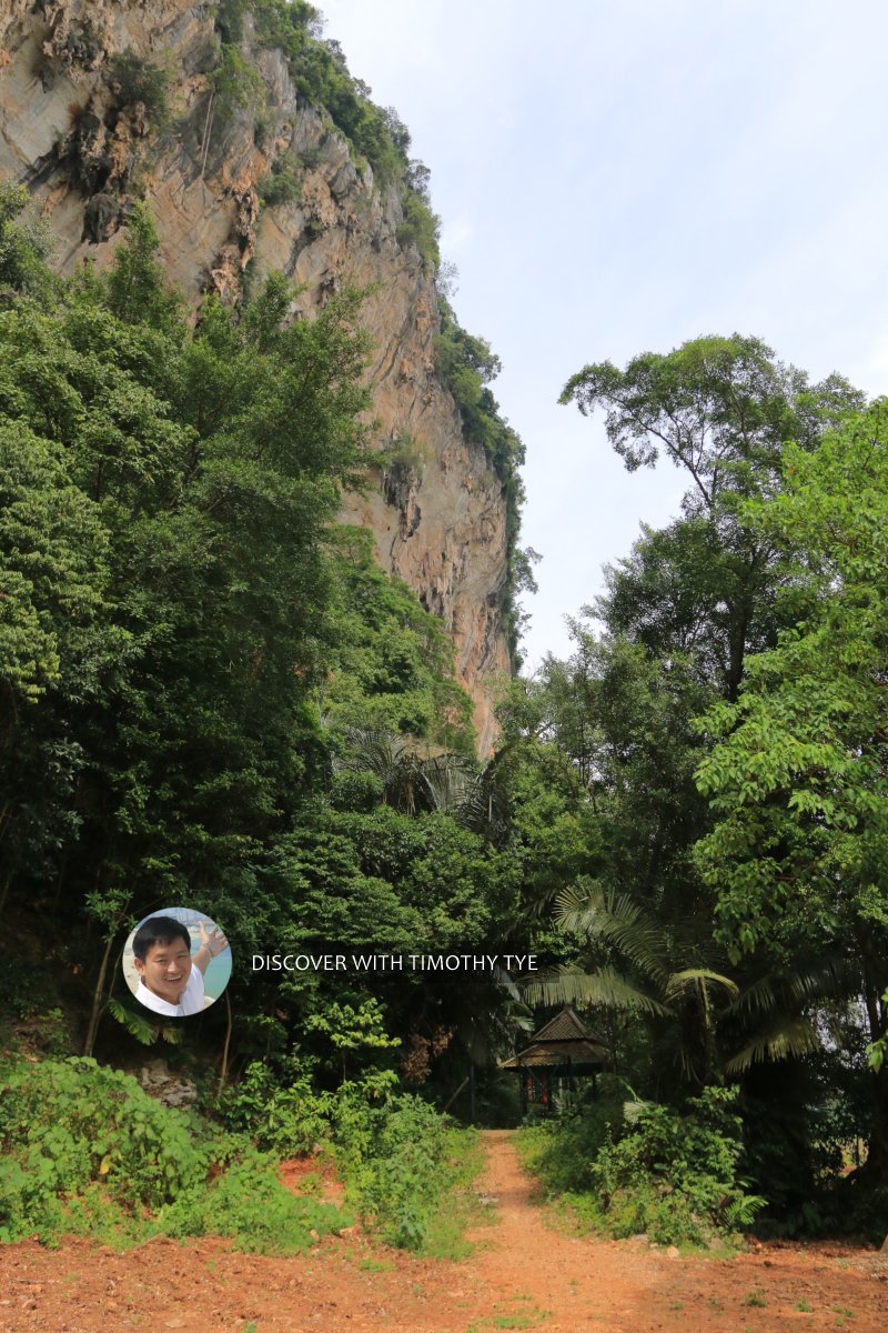 At the base of a huge limestone cliff, there is a pavilion or shed at the bottom. (10 August, 2019)
The pavilion was put up as an interpretive gallery for the prehistoric rock art. According to the interpretive board, Tambun Cave is a limestone cave where evidence of human activity going back as early as 9,000 years ago, has been uncovered. The presence of human activity was proven by research conducted by researchers from Universiti Kebangsaan Malaysia on remains of sea snails found in the cave.
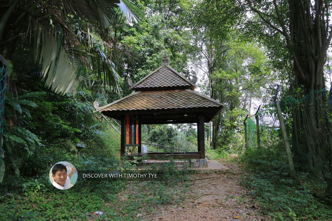 The pavilion with interpretive board. (10 August, 2019)
Tambun Cave is about 40 meters above the Kinta Valley. It was discovered by Lieutenant L.R. Rawlings in 1959, and is believed to be 3,000 years old. The rock art measures 33 meters by 10 meters, and is located about 15 meters above the cave floor.
The rock art of Tambun Cave depics various subjects ranging from human figures to animals as well as abstract lines. Among the animals featured include wild boar, tapir, tiger, dugong and a fawn still in its mother's womb. The human figures show them to be dancing.
The rock art of Gua Tambun has been gazetted by the Ipoh City Council in 1986 and has been declared a National Heritage by the Department of National Heritage on 10 January, 2010.
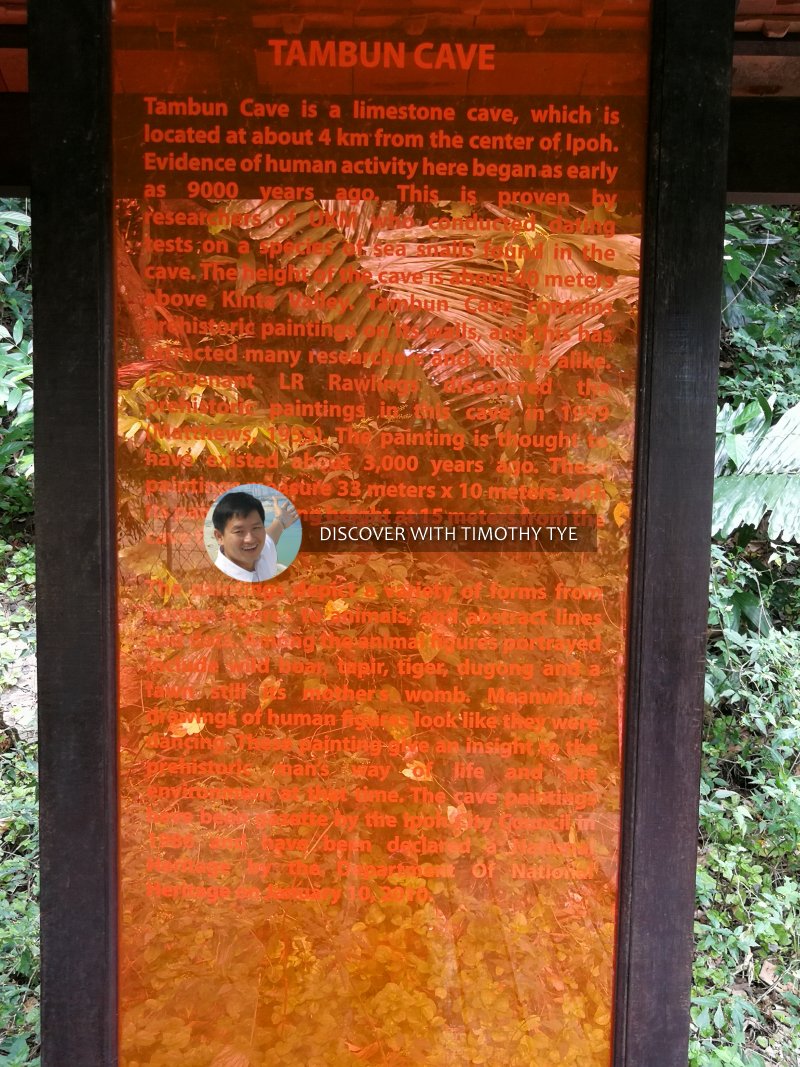 Interpretive board at the pavilion. (10 August, 2019)
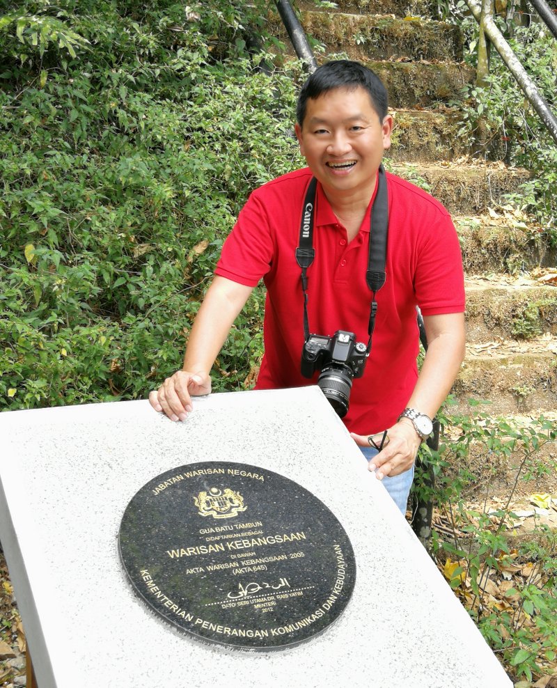 Plaque gazetting the Tambun Cave as a National Heritage Site. (10 August, 2019)
That pavilion with the interpretive board is only at the base of a cliff. From here, we have to scale 150 steps up a series of staircases going up the hillside to reach the rock art.
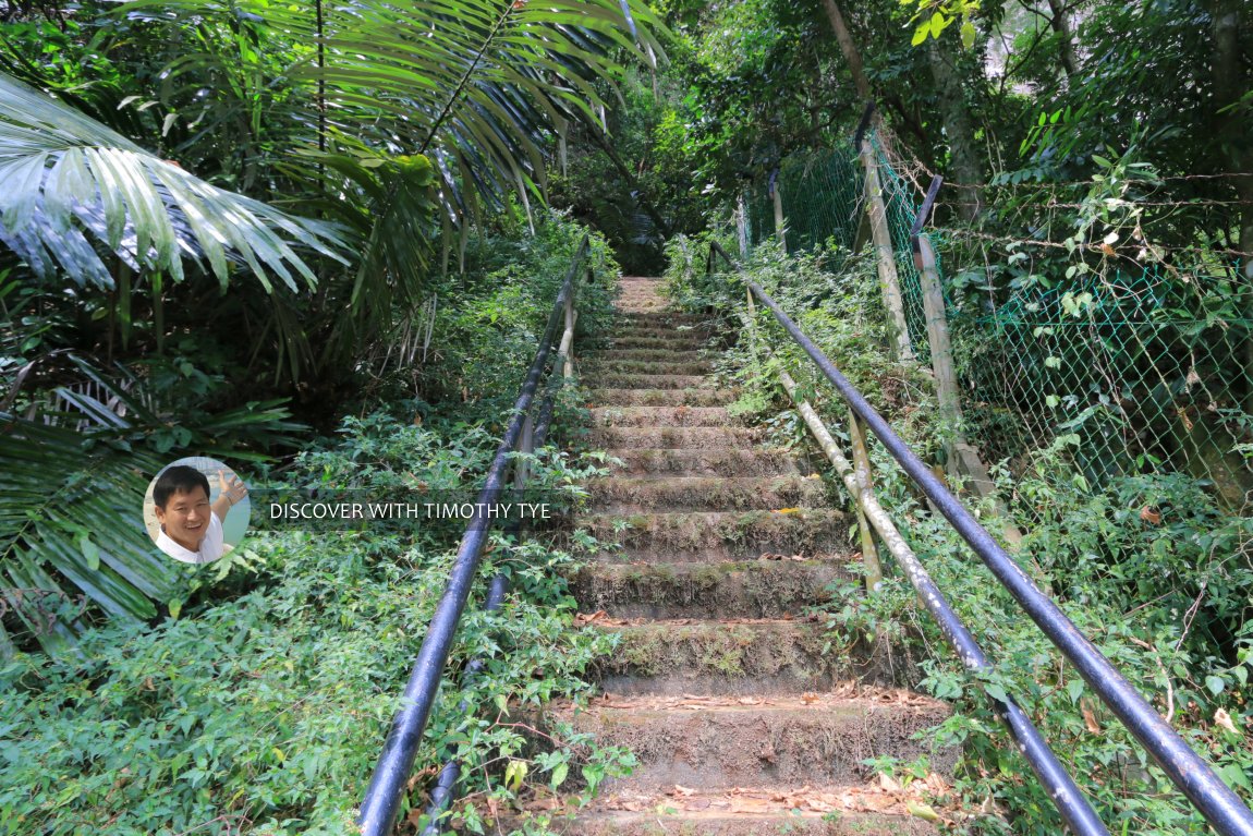 This is one of the flights of staircases going up the side of the cliff. (10 August, 2019)
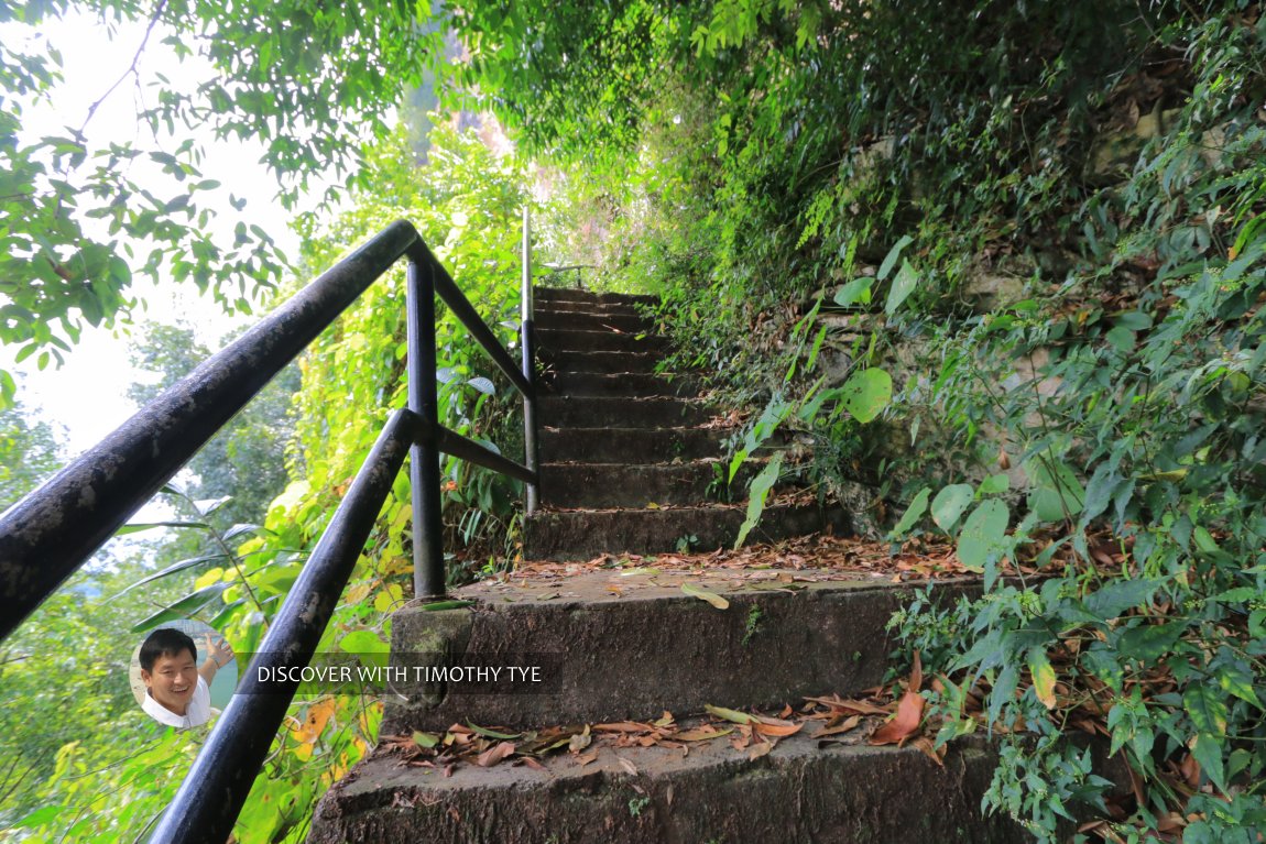 The series of staircases have landing intervals for you to stop and catch your breath. (10 August, 2019)
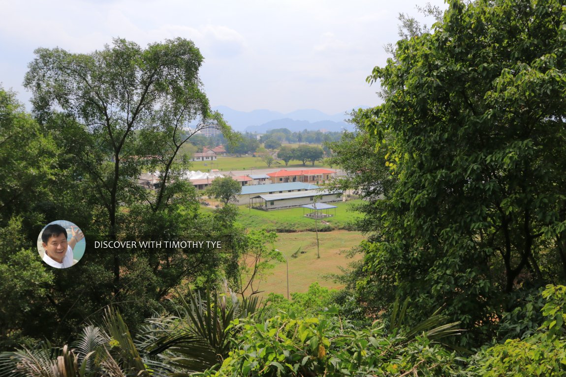 As you ascend, you can catch glimpses of the military camp next to the limestone outcrop. (10 August, 2019)
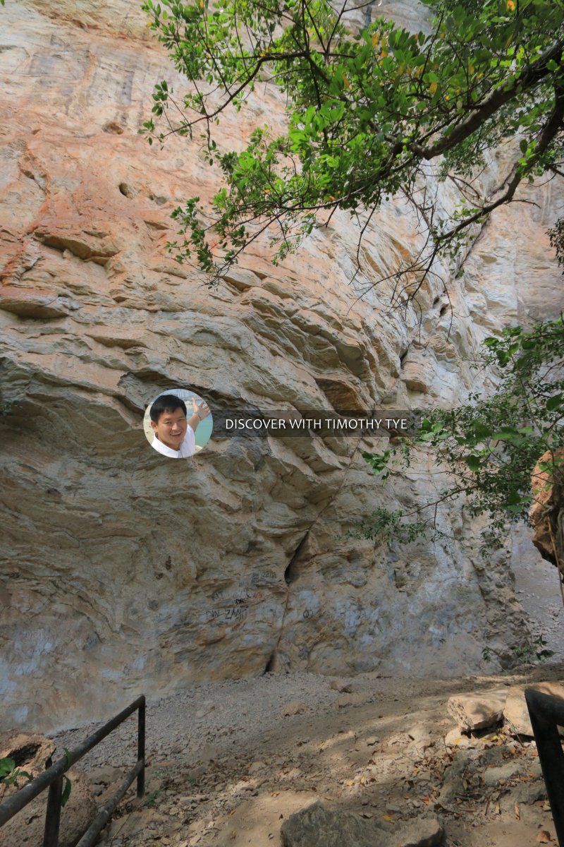 At last, the staircase took us to the base of an enormous cliff. (10 August, 2019)
I still saw no rock art, but there was another staircase a distance away.
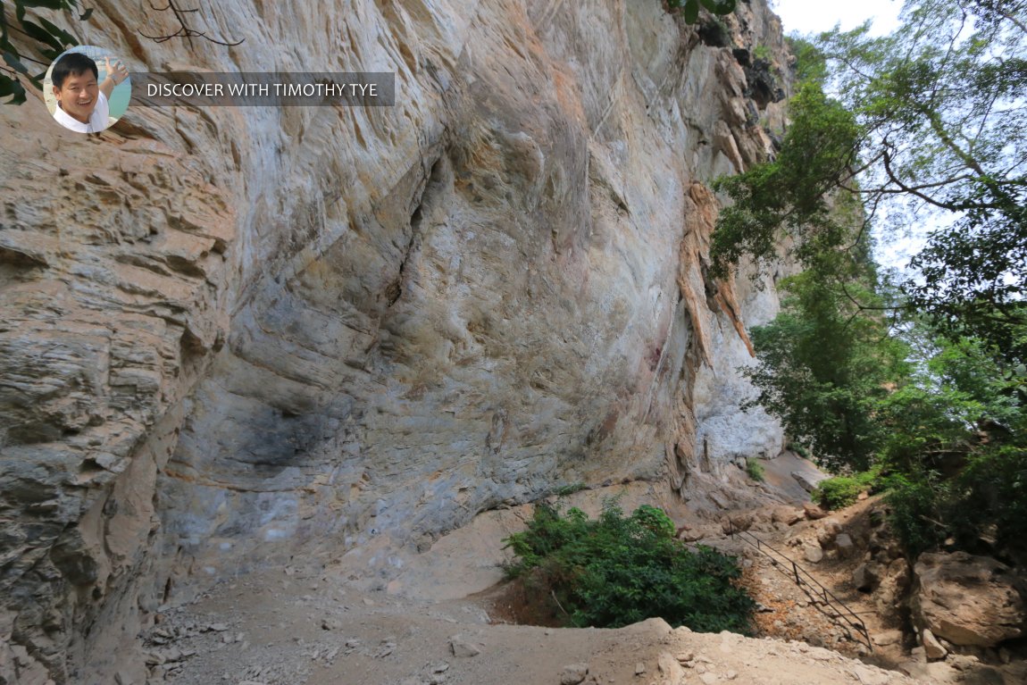 There was another staircase in the distance, under the mighty cliff. (10 August, 2019)
We continued to that other staircase, climbed to the top, and there, we finally saw the rock art.
Well, it wasn't in a cave at all, despite this being "Tambun Cave". The rock art is on an open cliff wall. I can't say whether there was a cave that has since collapsed, for there was rubble strewn all over the floor. The place looked almost like a rock quarry. The area is huge, and to give you a perspective of the scale, see how tiny I am against the rock art above.
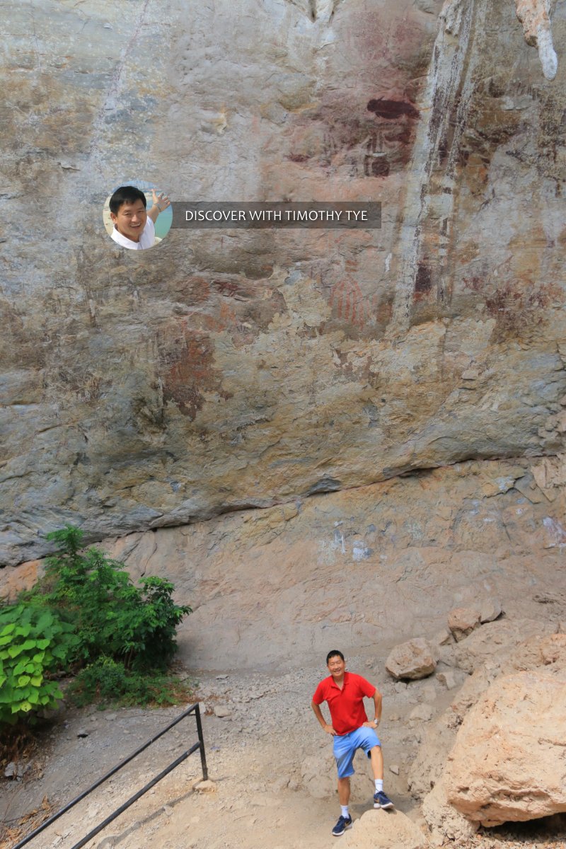 Here I am at the base of the cliff where the prehistoric rock art of Gua Tambun is located. (10 August, 2019)
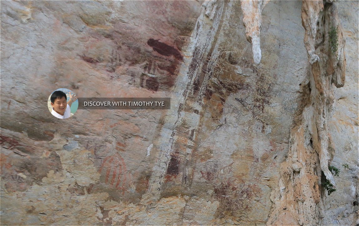 A closer look at the prehistoric rock art, on the wall. (10 August, 2019)
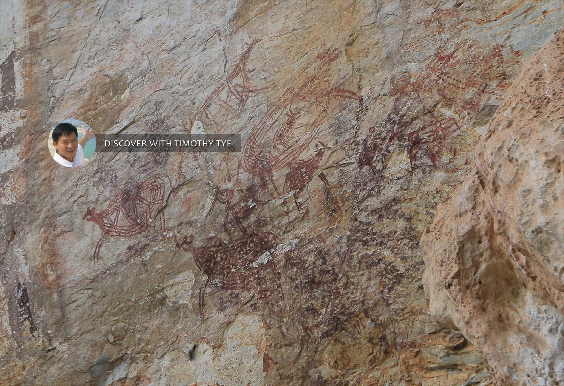 Rock art depicting various types of animals. (10 August, 2019)
I can't tell you how delighted I am to finally see Tambun Cave's prehistoric rock art. After years of hearing about it, and even coming here once before without successfully seeing it, I finally get to see what I have been hoping for. Here I was, with my wife and no other visitor, staring at the drawings on the wall, somewhat mersmerised by what I saw.
My one disappointment is that I do not see a cave here. As shown in these photos, it is a wall on the side of a limestone hill. That it is so exposed gave me some concern about it having to weather the elements day and night. Is it possible that the rock art have withstood the elements all this while? I am quite concerned that exposure to the elements could somehow damage it, what with acid rain and pollution of present times? This would be an issue that the Antiquity Department has to address.
But for now, I have seen what I set out to see, and I am satisfied.
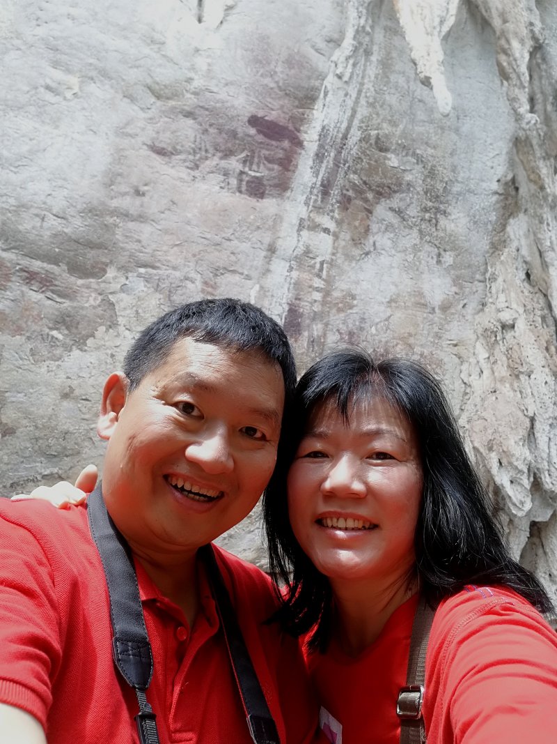 My wife and I took a wefie with the Prehistoric Rock Art of Tambun Cave, in Tambun, Ipoh. (10 August, 2019)
Photos from my earlier visit
On my first trip to the area back in 2017, I u-turned before I could reach the rock art. So I saw nothing. Pathway towards Gua Tambun site (12 August, 2017)
 Rock cliff on the way to the site. (12 August, 2017)
 Rocky limestone cliff. (12 August, 2017)
 The way got increasingly tougher. (12 August, 2017)
 The path blocked by vegetation. (12 August, 2017)
 Rock cliff at Gua Tambun (12 August, 2017)
 Stream beside the path towards Gua Tambun. (12 August, 2017)
 Weathered rock cliff at Gua Tambun (12 August, 2017)
 We decided to turn back here. (12 August, 2017)
Gua Tambun on Google Maps Street View
Road entering the Gua Tambun area (April 2018)Gua Tambun is  on the Map of Sights in Perak
 Latest updates on Penang Travel Tips

Copyright © 2003-2025 Timothy Tye. All Rights Reserved.

 Go Back