 Go Back
 Tanjung Piandang, Perak (29 August, 2015)
Tanjung Piandang (GPS: 5.07599, 100.3854) is a fishing village at the northwestern tip of Perak. It is located along the banks of Sungai Tanjung Piandang. The nearest major town from here is Parit Buntar, which is also the administrative centre for the district of Kerian.
Most of the villagers at Tanjung Piandang make a living from the sea. If you drive through the town, you will see many houses with various salted fish being sunned to dry. The main road through the town is Route A190, also called Jalan Pantai. In the heart of town is a Chinese primary school, SJK (C) Nam Hua.
Map of Tanjung Piandang
What to eat at Tanjung Piandang
- Seafood at Makanan Laut Fifty Heng Kee (GPS: 5.070053, 100.385441) was recommended by Alice S G Seah on 16 September, 2019
 Tanjung Piandang, Perak (29 August, 2015)
Attractions at Tanjung Piandang

Tanjung Piandang Chinese Temple 
This is an large and ornate temple in the heart of Tanjung Piandang village.GPS: 5.07589, 100.38496
Details
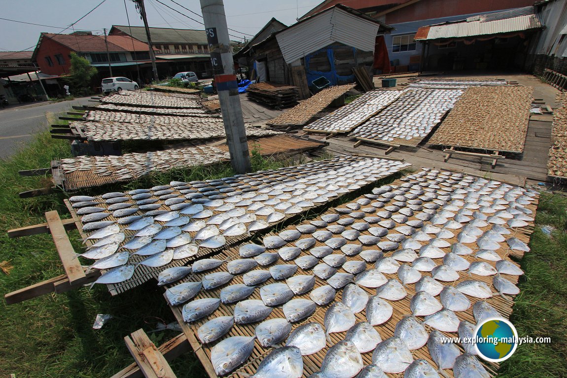
Making salted fish in Tanjung Piandang 
An interesting sight in this fishing village is the making of salted fish.GPS: 5.07572, 100.38541
Details
Sri Muniswarar Hindu 
A small Hindu temple in one of the lanes in Tanjung Piandang.GPS: 5.07572, 100.39006 (approximate)
Details
Categories of sights in Tanjung Piandang
Other sights in Tanjung Piandang
- Bagan Tiang (GPS: 5.10169, 100.40658)

- Bagan Utara (GPS: 5.07791, 100.37743)

- Bagan Selatan (GPS: 5.07531, 100.37563)

Tanjung Piandang is  on the Map of towns in Perak
Back to Perak mainpage; list of Towns in Perak and Towns in Malaysia
 Latest updates on Penang Travel Tips

Copyright © 2003-2025 Timothy Tye. All Rights Reserved.