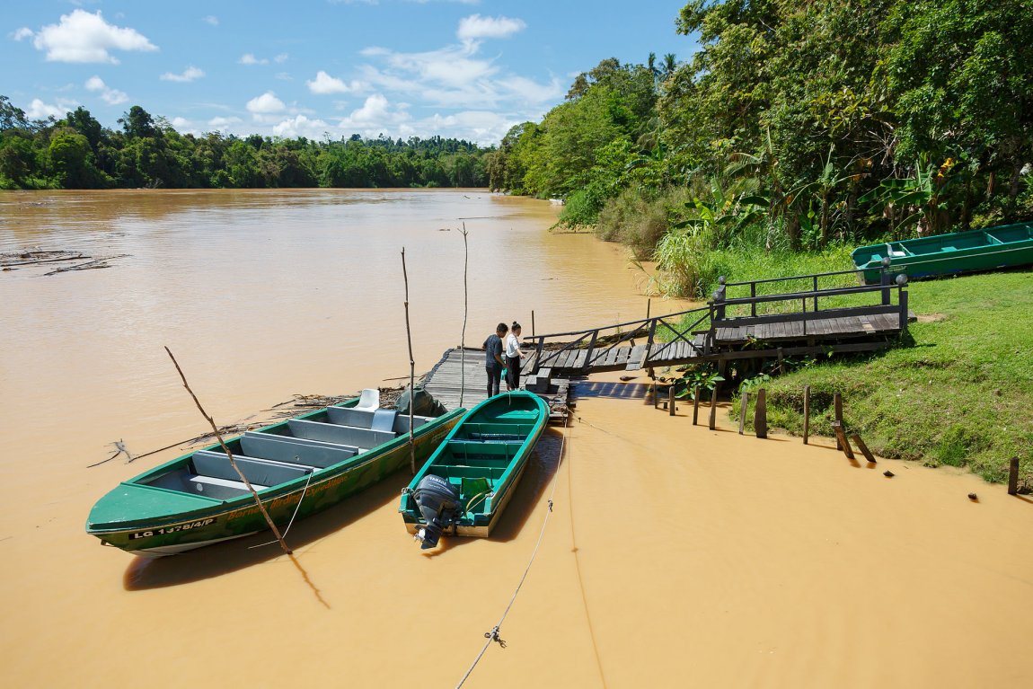
 Sungai Kinabatangan, Sabah
 https://commons.wikimedia.org/wiki/Category:Sungai_Kinabatangan#/media/File:Sukau_Sabah_Malaysia_Kinabatangan-River-at-Sukau-01.jpg
 CEphoto, Uwe Aranas
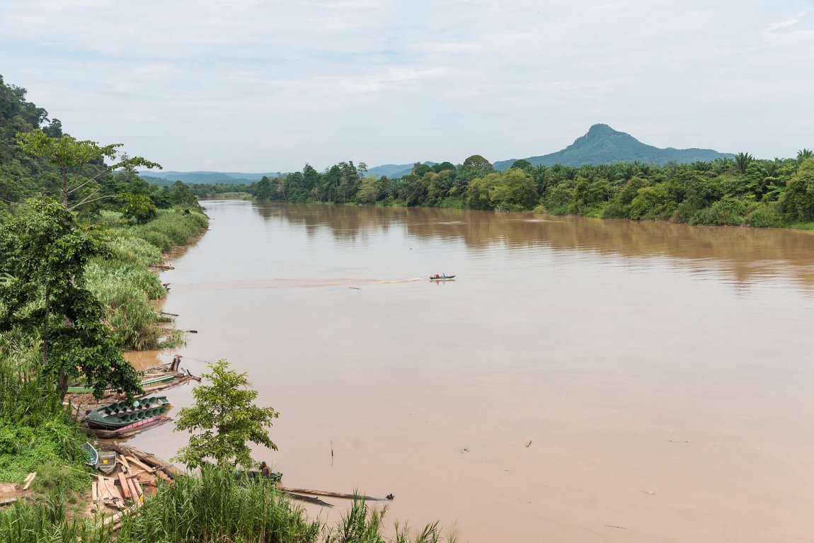
Kinabatangan River is the longest river is Sabah. With a length of 560 kilometers, it is also the second longest river in Malaysia after the Rejang River in Sarawak. The Kinabatangan flows from its headwaters in southwest Sabah to the Sulu Sea east of Sandakan. The river flows through a remarkably varied terrain that includes limestone caves, dryland dipterocarp forest, riverine forest, freshwater swamp forest, oxbow lakes and saltwater mangrove swamp.
The upper reaches of the Kinabatangan River has been damaged by heavy logging activities. However towards the sea, the lowland forests and mangrove swamps have remained largely intact and is still supporting a healthy population of saltwater crocodiles (Crocodylus porosus) along with a great concentration of wildlife including the proboscis monkey, orangutan, Asian elephant and Sumatran rhinoceros. The irony is that the lower reaches have been protected by the oil palm plantations surrounding them.
The lower reaches of the Kinabatangan floodplain was made a protected area in 1997. With the World Wide Fund for Nature as the prime mover, this status was upgraded to "bird sanctuary" in 2001. Further efforts to upgrade it to "wildlife refuge" or "national park" have been blocked by opposition from the logging and oil palm industries.
The Kinabatangan Wildlife Sanctuary, located around Sukau, is a delight for nature enthusiasts. Bird watching is best from October to March, which is the wet (and uncomfortable) months. In the past few years, the weather in the region has been swinging from extreme to extreme, with severe flooding in March 2006 followed with extremely dry seasons, when the oxbow lakes dry up completely.
 Sungai Kinabatangan, Sabah
 https://commons.wikimedia.org/wiki/Category:Sungai_Kinabatangan#/media/File:Sungai-Kinabatangan_Sabah_Bridge_near_BatuTulug.jpg
 CEphoto, Uwe Aranas
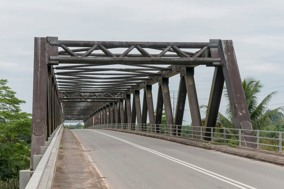
 Bridge across Sungai Kinabatangan near Kampung Batu Putih
 https://commons.wikimedia.org/wiki/Category:Sungai_Kinabatangan#/media/File:Sungai-Kinabatangan_Sabah_Bridge_near_BatuTulug.jpg
 CEphoto, Uwe Aranas
Getting there
It is best to get a tour operator to help with the arrangements. Your gateway is Sandakan. From there, you can take a minivan to Sukau. The fare is RM15 for the 2-hour ride.Kinabatangan River Location Map
List of Rivers in Sabah and Rivers in Malaysia
 Latest updates on Penang Travel Tips
 Discover with Timothy videos on Sabah
What to see when in Sabah? Here are some suggestions from my videos.Disclaimer
Please use the information on this page as guidance only. The author endeavours to update the information on this page from time to time, but regrets any inaccuracies if there be any.
Copyright © 2003-2025 Timothy Tye. All Rights Reserved.

 Go Back