Signal Hill, Kota Kinabalu
 Go Back - HOME | Latest Kota Kinabalu Attractions > Sabah > Malaysia > World | YouTube : Facebook | About Me : Contact Me
 Signal Hill, Kota Kinabalu
 https://commons.wikimedia.org/wiki/Category:Signal_Hill_Observatory#/media/File:Pendangan_Pulau_Sabah.JPG
 Putera Fazil
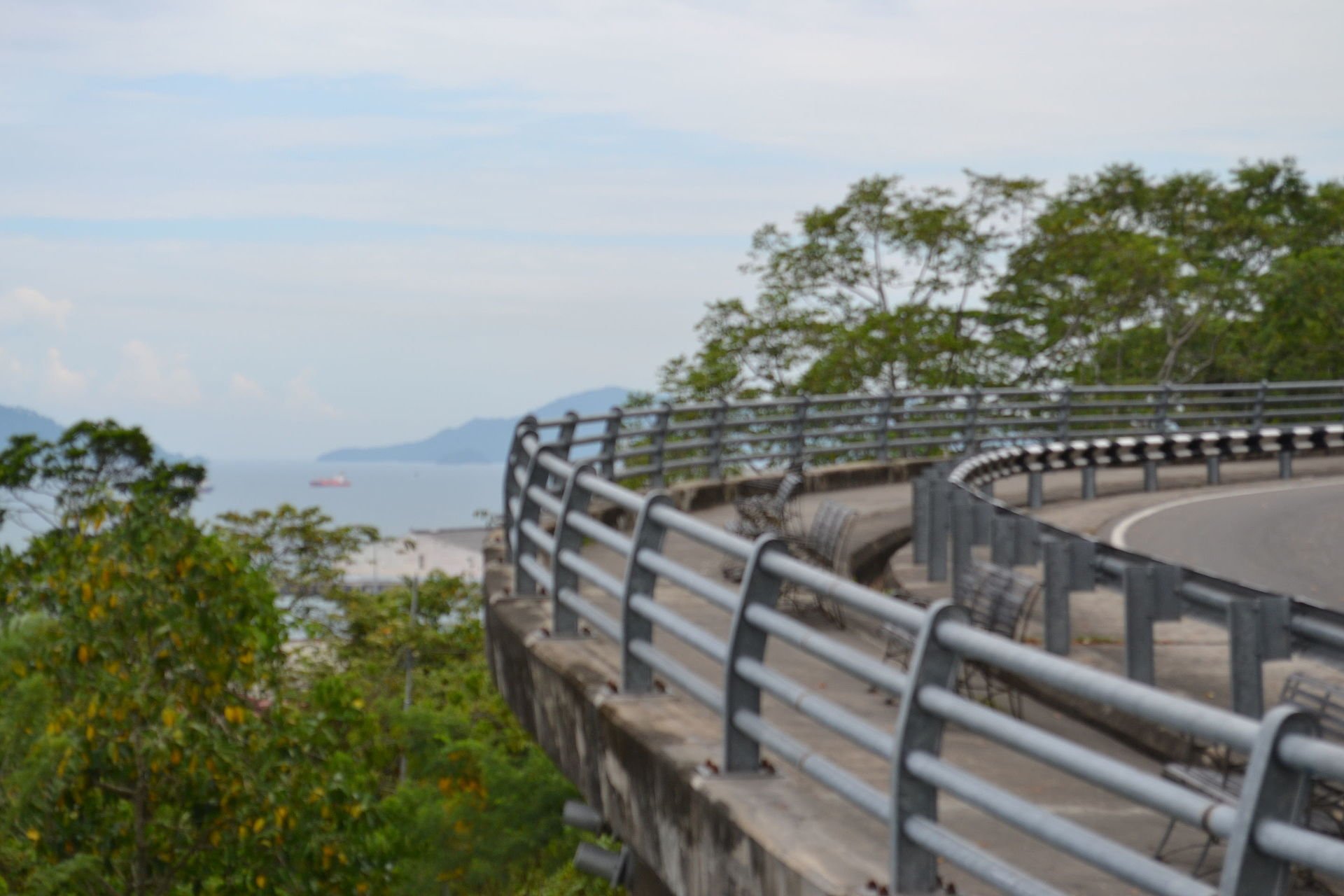
Signal Hill (GPS: 5.98581, 116.0797) is the highest point in Kota Kinabalu. It got its name from the signals being sent up the hill using flags (hence, the name Bukit Bendera in Malay for the hill) whenever mail steamships arrived at Jesselton Port.
There is an observation platform here where visitors can get a panoramic view of Kota Kinabalu below. On a clear day, one can see all the way to Pulau Gaya, which in at the Tunku Abdul Rahman National Park.
360° View of Kota Kinabalu from Signal Hill Observatory on Google Maps Street View
Signal Hill ObservatorySignal Hill is  on the Map of Kota Kinabalu
Nearby Sights
Back to Discover Kota Kinabalu, Sabah; list of Tourist Attractions in Kota Kinabalu
 Latest updates on Penang Travel Tips
 Discover with Timothy videos on Sabah
What to see when in Sabah? Here are some suggestions from my videos.Disclaimer
Please use the information on this page as guidance only. The author endeavours to update the information on this page from time to time, but regrets any inaccuracies if there be any.
Copyright © 2003-2025 Timothy Tye. All Rights Reserved.