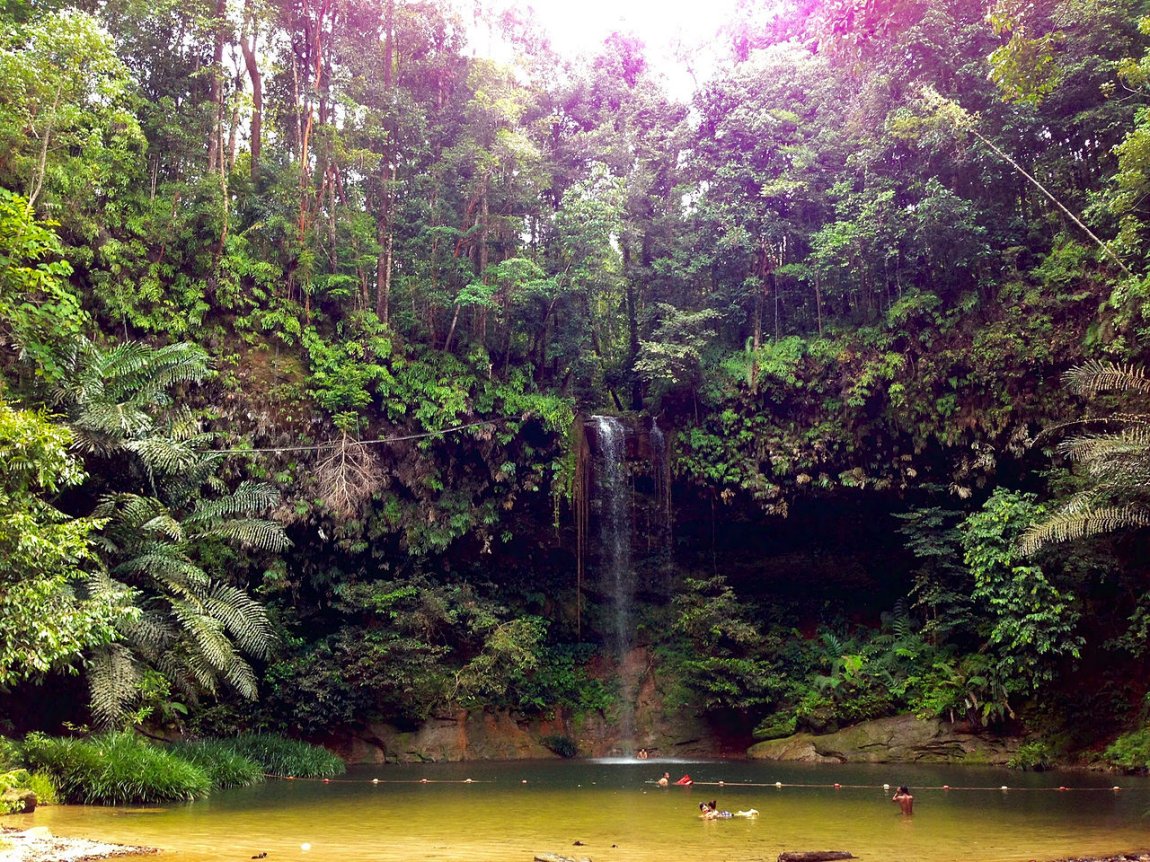
 Waterfall at Lambir Hills National Park
 https://commons.wikimedia.org/wiki/Category:Miri#/media/File:Lambir-Hills-Waterfall.jpg
 Nicolai Edgar Andersen
Lambir Hills National Park (GPS: 4.19837, 114.04287) is a national park in the Miri Division of Sarawak. It is about 30 kilometers south of Miri, on the road towards Bintulu. Gazetted on 15 May 1975, the national park covers an area of 6952 hectares on the central section of Lambir Hills.
Lambir Hills National Park has a mixture of dipterocarp forest and kerangas forest. The dipterocarp forest has trees such as kapur, meranti, kempas and selangan batu, while the kerangas or heath forest has shorter trees such as rhu bukit and selunsur bukit as well as pitcher plants, orchids and shrubs that colonise poor soil.
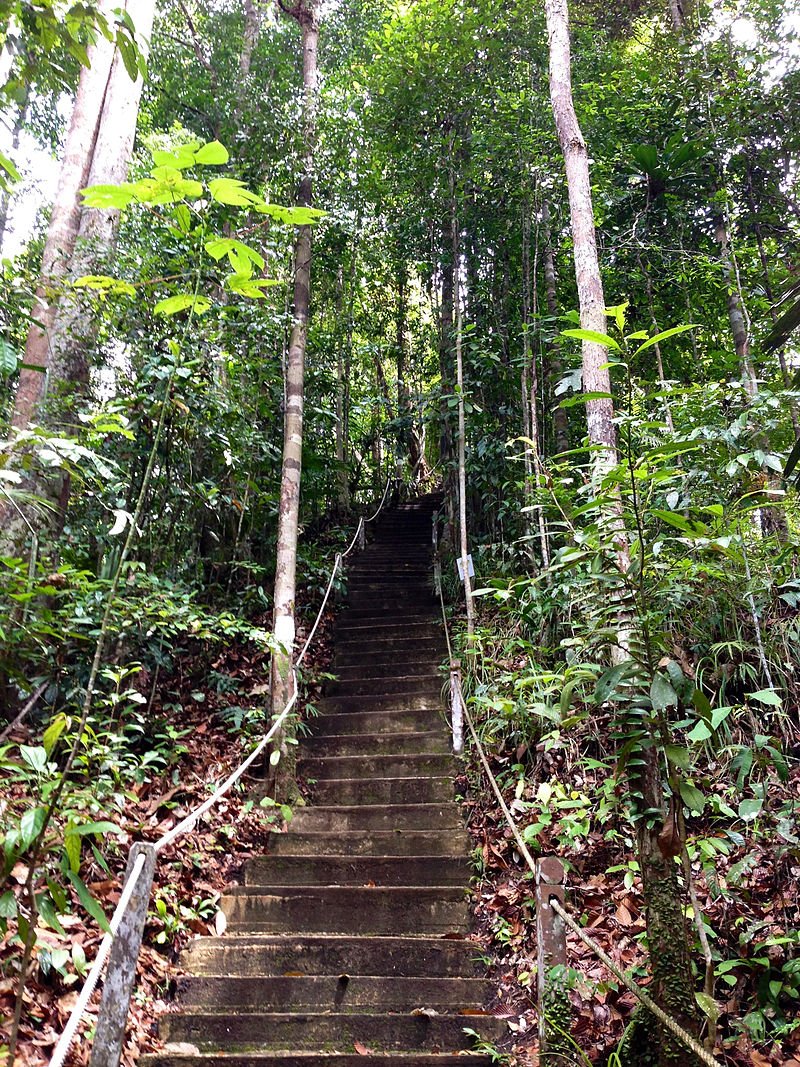
 Hiking trail at Lambir Hills National Park
 https://commons.wikimedia.org/wiki/Category:Miri#/media/File:Lambir-Hills-Hiking-Trail.jpg
 Nicolai Edgar Andersen
The three main rivers that flow through Lambir Hills National Park are Sungai Liam, Sungai Lepoh and Sungai Letik. At Sungai Liam are three main waterfalls namely Dinding Waterfall, Tengkorong Waterfall and Pancur Waterfall. At Sungai Letik is Pantu Waterfall. Within walking distance from the park headquarers are another four waterfalls, called simply Waterfall 1, Waterfall 2, Latak Waterfall and Nibong Waterfall. The nearest peak from park headquarters is Bukit Pantu, which is about 1 1/2 hours from Latak Waterfall on the main trail.
Visitors to the national park can also stay overnight at the forest lodges which provide rooms as well as chalets. No cooking is allowed inside the chalets and dorms.
Contact
Lambir Hills National ParkTel: 085 491030
Lambir Hills National Park is  on the map of National Parks in Sarawak
List of National Parks in Miri Division, National Parks in Sarawak and National Parks in Malaysia
 Latest updates on Penang Travel Tips
 Map of Roads in Penang
Looking for information on Penang? Use this Map of Roads in Penang to zoom in on information about Penang, brought to you road by road.Disclaimer
Please use the information on this page as guidance only. The author endeavours to update the information on this page from time to time, but regrets any inaccuracies if there be any.
Copyright © 2003-2025 Timothy Tye. All Rights Reserved.

 Go Back