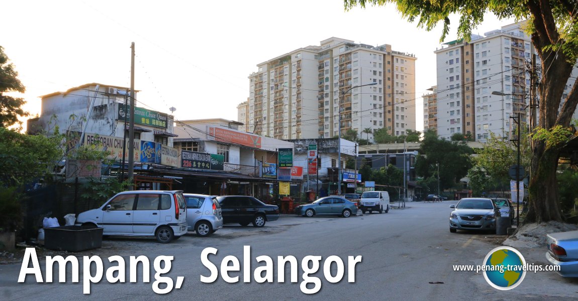
 Ampang, Selangor (9 July, 2016)
Ampang (GPS: 3.14909, 101.76245) is a place in Selangor. Ampang got its name in the late 19th century, when it was a major tin mining area. The name means "dam" in Malay. This refers to the dams built by the miners in order to extract tin from the ground.
When the Federal Territory of Kuala Lumpur was created in 1974, the district of Ampang was split between Kuala Lumpur and Selangor. The two parts are contiguous, with places ofter overlapping, and even the residents often confusing one from the other.
The Selangor Ampang is located to the east of Jalan Jelatek, through the state border zigzags until the Middle Ring Road 2, which again splits the Kuala Lumpur Ampang to the west from the Selangor Ampang.
Location of sights in Ampang on map
Eateries in Ampang
- Restoran Foong Foong (GPS: 3.1445, 101.76331)

- Restoran Orchard View Yong Tau Foo (GPS: 3.144480, 101.763278)

Sights in Ampang, Selangor
Categories of Sights in Ampang
360° View of Ampang on Google Maps Street View
In this street view of the Middle Ring Road 2, the Selangor Ampang is on the right while the Kuala Lumpur Ampang on the left.Ampang is  on the Map of Towns in Selangor
Back to Discover Selangor; list of Towns in Selangor and Towns in Malaysia
 Latest updates on Penang Travel Tips

Copyright © 2003-2025 Timothy Tye. All Rights Reserved.

 Go Back