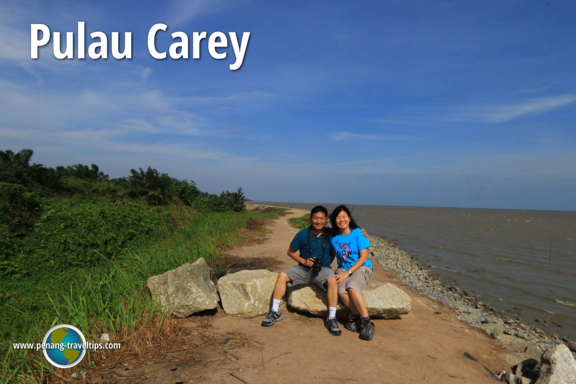
 Timothy Tye and Goh Chooi Yoke at Pulau Carey (7 July, 2016)
Carey Island, or Pulau Carey, is an island formed by delta of Sungai Langat, in Kuala Langat district, Selangor. The obviously European name of the island is indeed British - it was named after a British officer Edward Valentine John Carey. Today Pulau Carey is largely covered by palm oil plantations managed by the conglomerate Sime Darby, which also maintains a plantation academy on the island.
The South Klang Valley Expressway (E25), popularly called the SKVE, was recently built through Carey Island. It opened to traffic on 1 October, 2013. It links with Pulau Indah (at the Pulau Indah Interchange. Exit 2611) in the east and Teluk Panglima Garang on the Selangor mainland in the west. An interchange is planned for Pulau Carey but has not been built yet (as of Feb 2015).
Updates on Pulau Carey
24 November, 2017The Star reports Transport Minister Datuk Seri Liow Tiong Lai saying that the port city project on Carey Island is a vital part of the Government's effort to further boost the country's position as a top hub in the region. He said that a port city will be built on Carey Island as part of a long-term plan. 17 November, 2017
The Straits Times reports that the plan to build a RM140 billion port on Carey Island has been shelved. This is becuase falling volumes at Port Klang due to operations moving to Singapore has made the project not viable for the present moment.
9 January, 2016 A mammoth port, bigger than North Port and South Port of Port Klang combined, has been planned for Pulau Carey.
Map of sights on Pulau Carey
Sights on Pulau Carey
Other sights on Pulau Carey
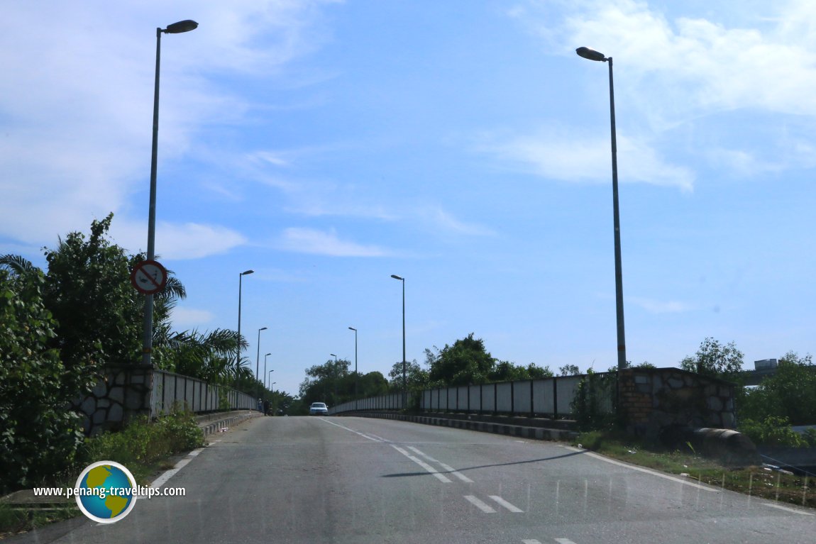 This is Jambatan Pulau Carey, the bridge connecting the Selangor mainland to Pulau Carey. (7 July, 2016)
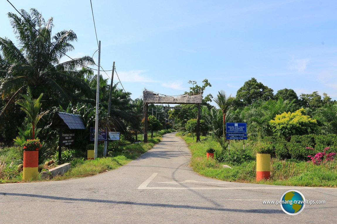 The road to Sungai Judah Orang Asli Village (7 July, 2016)
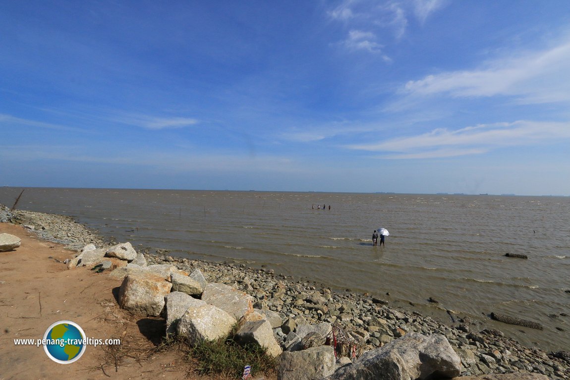 The Straits of Malacca off Pulau Carey. The sea here is shallow and muddy. People can walk far into the sea. In the distant, container ships pass by. (7 July, 2016)
Next to Jambatan Pulau Carey is another larger bridge for the South Klang Valley Expressway. But as of now (Sept 2016), there isn't an interchange to go to Pulau Carey from the expressway (as far as I know).
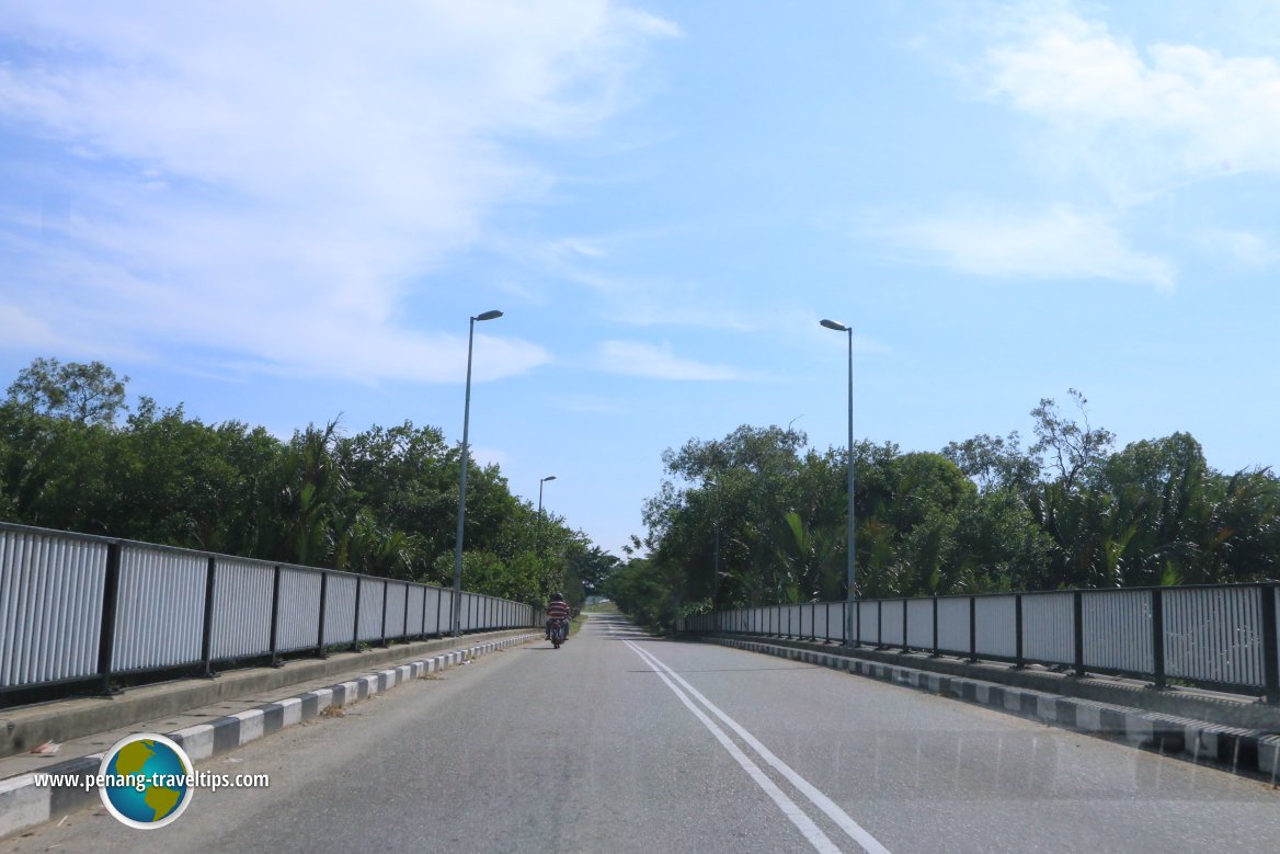 On the other side of Jambatan Pulau Carey, as we near Pulau Carey. (7 July, 2016)
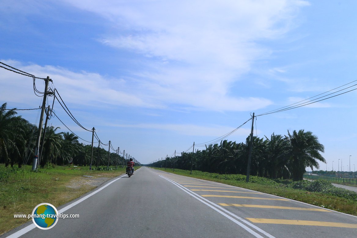 And here we are on Pulau Carey. This is the only main road on the island. There are oil palm plantations on both sides of the road covering practically the whole island. (7 July, 2016)
360° View of Pulau Carey on Google Maps Street View
The Selat Lumut-SKVE Bridge between Pulau Indah (foreground) and Pulau Carey (background).Dead oil palms at the Orang Asli Settlement of Pulau Carey.
Pentas Budaya, the arena where Orang Asli cultural performances are staged.
The sea at the end of Jalan Pulau Carey.
Map of the Islands of the Klang Delta
Pulau Carey is on the map.
Getting there
Presently (as of Feb 2015), to reach the Mah Meri Orang Asli Village of Pulau Carey, you have to take Jalan Pulau Carey from the Selangor mainland.Go straight on this road to reach Pulau Carey.
A bridge "hops over" a branch of Sungai Langat, within sight of the Pulau Carey-Sungai Langat Bridge of the SKVE. While the two roads are often within sight of each other, they don't link, so (for now Feb 2015 at least) the SKVE is immaterial to Pulau Carey.
References
- Mah Meri Cultural Video: https://youtu.be/y8fz7DE2TZw
- Mah Meri Cultural Village: https://mmcv.org.my/web/
Back to Discover Selangor mainpage
 Latest updates on Penang Travel Tips

Copyright © 2003-2025 Timothy Tye. All Rights Reserved.

 Go Back