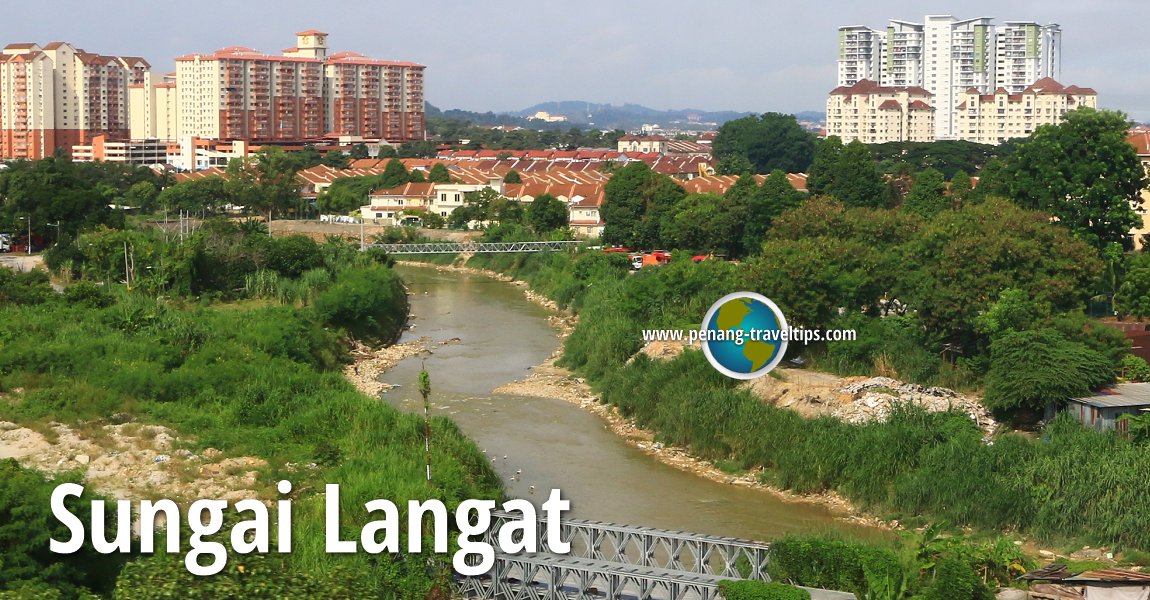
 Sungai Langat flowing through Kajang, Selangor (6 August, 2017)
Sungai Langat is one of the major rivers in Selangor. It flows entirely within the state, started at Gunung Nuang, in the Titiwangsa Range, and empties into the Straits of Malacca at Tanjung Tongkah, over a distance of some 127 kilometers. A number of rivers act as tributaries to Sungai Langkat, including Sungai Semenyih and Sungai Labu.
Two of the districts of Selangor take their names from this river, namely Hulu Langat District, on the upper reaches of the river, and Kuala Langat District, where the river discharges into the sea. The river flows through Hulu Langat, Cheras, Kajang, Bangi, Dengkil and Banting.
Since it cuts across the state, Sungai Langat is crossed by numerous major roads including the Cheras-Kajang Expressway (E7), the SILK Highway (E18), Jalan Sungai Chua, Persiaran Bangi, Persiaran Universiti, Jalan Teras, the North-South Expressway Southern Route, Jalan Utara 1, Pintasan Dengkil Bypass, Jalan Kajang-Dengkil, ELITE Highway (E6), KLIA Extension Expressway, Jalan Perak Kanan, Route 32, Jalan Sultan Abdul Samad and Jalan Pusara.
Jambatan Banting crosses Sungai Langat in Banting, taking Jalan Sultan Abdul Samad across the river. It is the second last bridge before the river reaches the sea. The final bridge across the river is Jambatan Jalan Pusara.
Map of Sungai Langat, Selangor
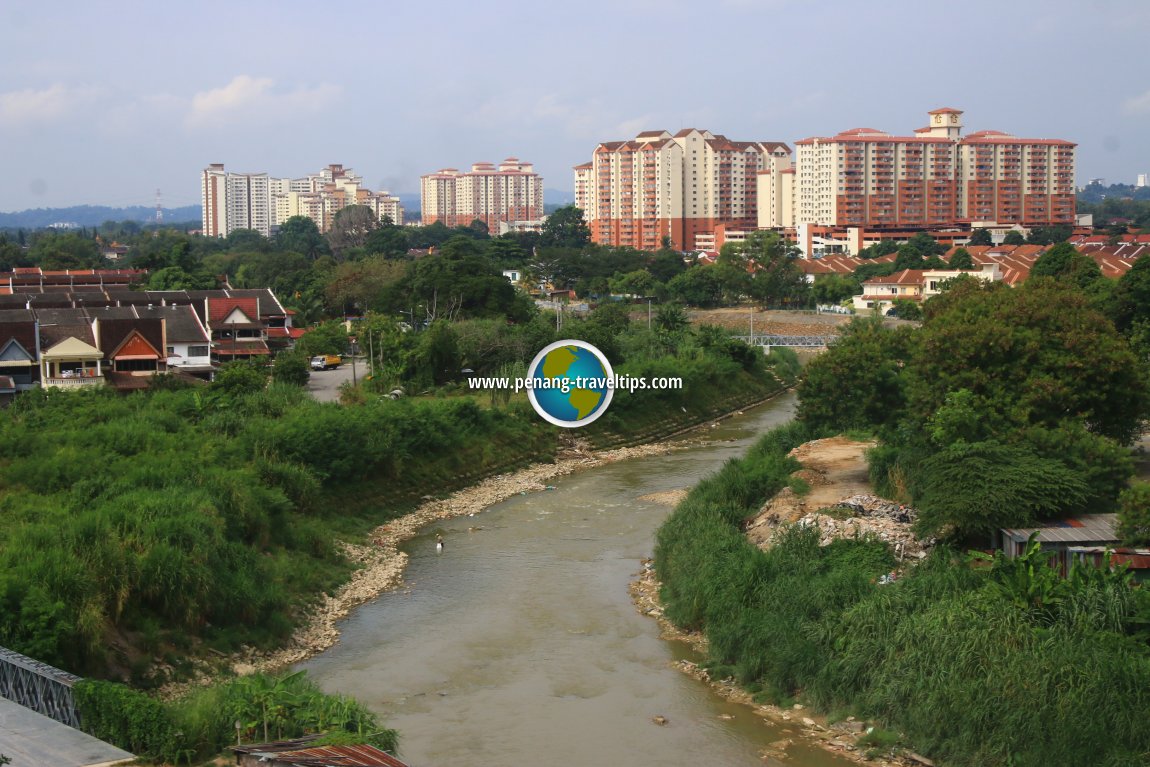
 Sungai Langat in Kajang (6 August, 2017)
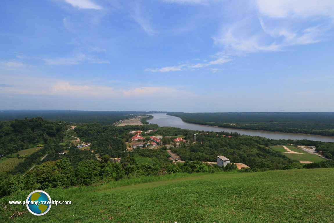
 Sungai Langat, as seen from Bukit Jutra (6 July, 2016)
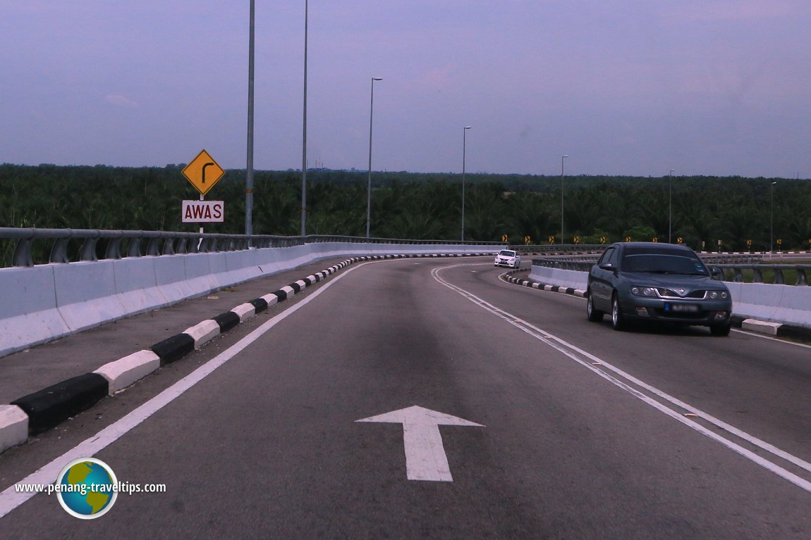
 Jambatan Jalan Pusara is the last bridge across Sungai Langat before the sea (6 July, 2016)
360° View of Sungai Langat on Google Maps Street View
Jalan Sultan Abdul Samad crossing Sungai Langat (Apr 2015)Back to Discover Selangor; list of Rivers in Selangor and Rivers in Malaysia
 Latest updates on Penang Travel Tips

Copyright © 2003-2025 Timothy Tye. All Rights Reserved.

 Go Back