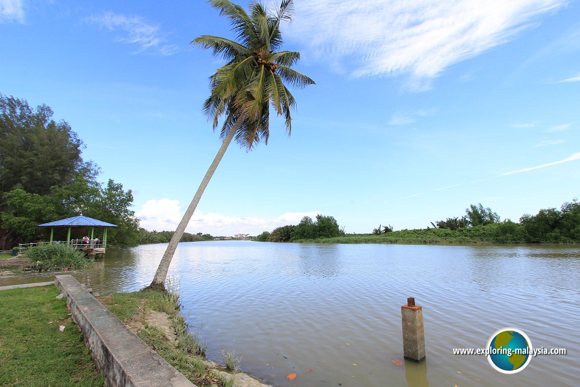
 Sungai Kerian, as seen from Taman Rekreasi Sri Sanglang in Nibong Tebal, Penang (22 August, 2015)
Sungai Kerian is one of the major rivers in Malaysia. Also called the Krian River, it emerges from the highlands of the Bintang Range, where it forms a natural boundary between Kedah and Perak. Before reaching the sea, Sungai Kerian crosses the border into Penang Mainland before discharging into the Straits of Malacca in Nibong Tebal. The fishing village of Sungai Udang sits near the mouth of Sungai Kerian.
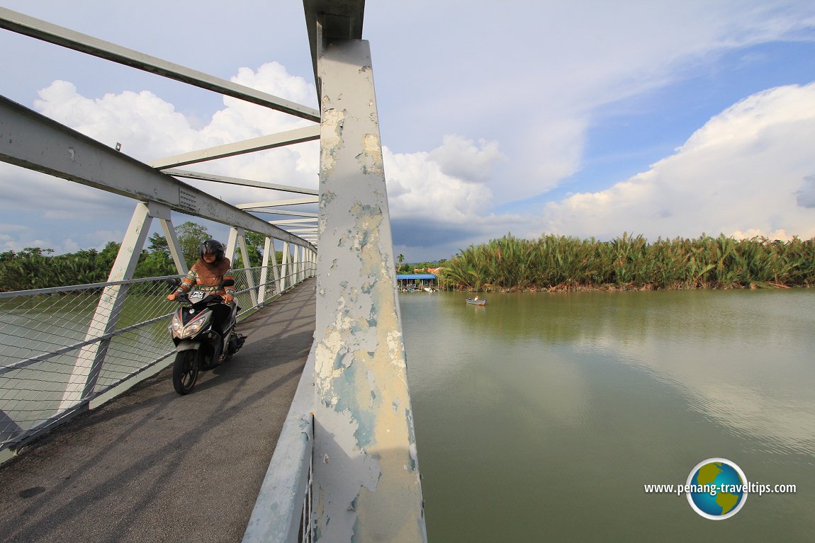
Sungai Kerian has a few tributaries. The main ones include Sungai Selama, Sungai Ijok, Sungai Samagagah and Sungai Ulu Mengkuang. The river flows through a few towns, the biggest being Nibong Tebal. Other towns by the banks of Sungai Kerian include Parit Buntar in Perak and Bandar Baharu in Kedah. The last bridge across the river is a bridge for motorcycles and pedestrians. It connects Teluk Ipil to Tanjung Berembang.
The Kerian River is mentioned in an article appearing in The Straits Times1 on 29 June, 1861. And excerpt reads:
The Krian ... is a genuine fresh-water river, although the lower parts are lined with mangroves, as the tide runs up when the freshes are not considerable, to a distance of at least 15 miles. It is, however, by no means so fine a stream as the Mudah, although is [sic] sources are probably the same distance from the coast; indeed the natives assert that the waters of the two rivers unite near the base of the mountain range which is the common source of both streams.
Updates on Sungai Kerian
20 June, 2017: The Penang State Government is building to bridge across Sungai Kerian to connect Taman Victoria to Tanjung Berembang. The 360 meter bridge will cost RM25.8 million and is expected to be completed by 17 January, 2019. Bridge across Sungai Kerian between Teluk Ipil and Tanjung Berembang (22 August, 2015)
Map of Sungai Kerian
References
- The Straits Times (29 June, 1861): Topography of Province Wellesley
Rivers in Malaysia
 Latest updates on Penang Travel Tips

Copyright © 2003-2025 Timothy Tye. All Rights Reserved.

 Go Back