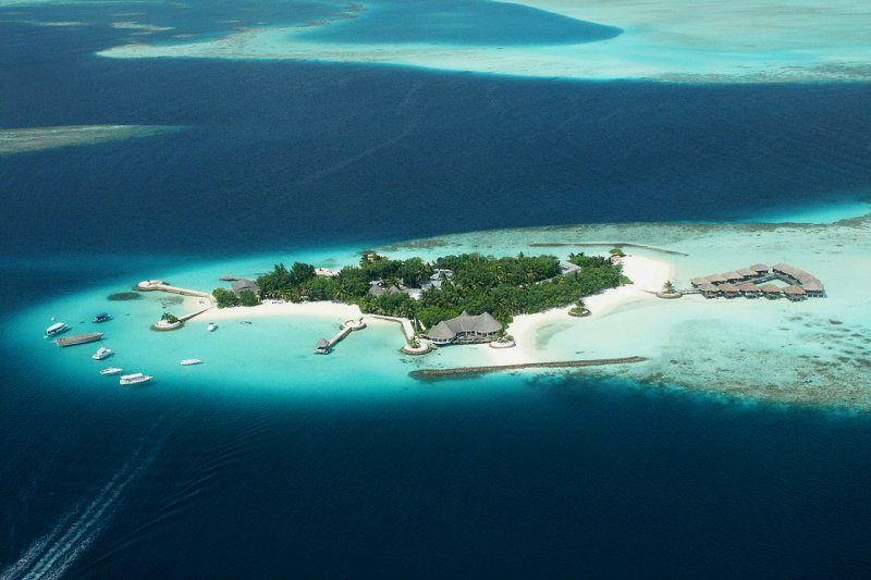
 Kaafu Atoll, Maldives
 http://commons.wikimedia.org/wiki/Category:Buildings_in_Maldives#mediaviewer/File:Bolifushi.jpg
 Giorgio Montersino
The Republic of Maldives, also called the Maldives, or Maldive Islands, is an island nation in the Indian Ocean, to the southwest of the southern tip of India. It comprises close to 1,200 islets of varying sizes, spread over an area of 90,000 square kilometers. All the islets are coral islands. They are grouped into twenty-six coral atolls arranged from north to south. Two hundred of the islands are inhabited, and a further 80 contain exclusive vacation resorts. The Maldives is the smallest country in Asia, in terms of total land area as well as population. Its population stands at less than 400,000 as of 2009, occupying an area of 298 sq kilometers (115 sq miles). It is also the lowest country in the world, averaging only 1.5 meters above sea level. Their currency is called the Maldivian Rufiyaa.
Cities in Maldives
- Malé
Biggest city and capital of the Maldives. - Hithadhoo
Second biggest city in the Maldives.
Administrative Divisions of the Maldives
- Lhaviyani Atoll
Administrative division consisting of 54 islands of which only 5 are inhabited, namely Naifaru, Hinnavaru, Kurendhoo, Olhuvelifushi and Maafilaafushi. - Raa Atoll
Administrative division consisting of Northern Maalhosmadulu Atoll and Alifushi Island - Baa Atoll
Administrative division consisting of three separate natural atolls. - Kaafu Atoll
Administrative division consisting of Kaashidhoo Island, Gahaafaru Atoll and Malé Atoll. - Ari Atoll
The biggest atoll located to the west of the Maldives archipelago, with more than 20 islands designated for tourist resorts. - Vaavu Atoll
Administrative division consisting of Felidhu Atoll and Vattaru Reef. It is the smallest administrative atoll in terms of population. - Meemu Atoll
Administrative division consisting of Mulak Atoll. - Faafu Atoll
Administrative division with a few inhabited islands such as Himithi. - Dhaalu Atoll
Administrative division also known as the Southern Nilandhe Atoll or Nilande Atoll South. - Seenu Atoll
Administrative division also known as Addu Atoll. Seenu Atoll straddles the equator.
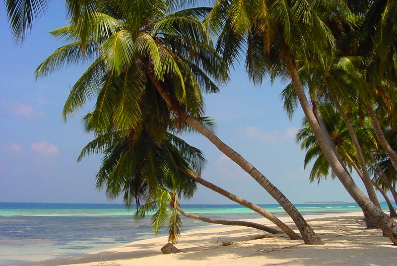 Coconut palms on Île de Maafushi, Maldives
 http://commons.wikimedia.org/wiki/File:481-Maldives.jpg
 Patrick Verdier, Free On Line Photos
Fast Facts on Maldives
- Official Name: Maldives
- Capital: Malé (75,000)
- Population of Maldives: 349,100
- Languages: Maldivian Dhivehi, English
- Currency: Rufiyaa
- Time Zone: UTC+5
- Religions: Sunni Muslim
- Size: 300 sq km (116 sq miles)
- Region: Asia
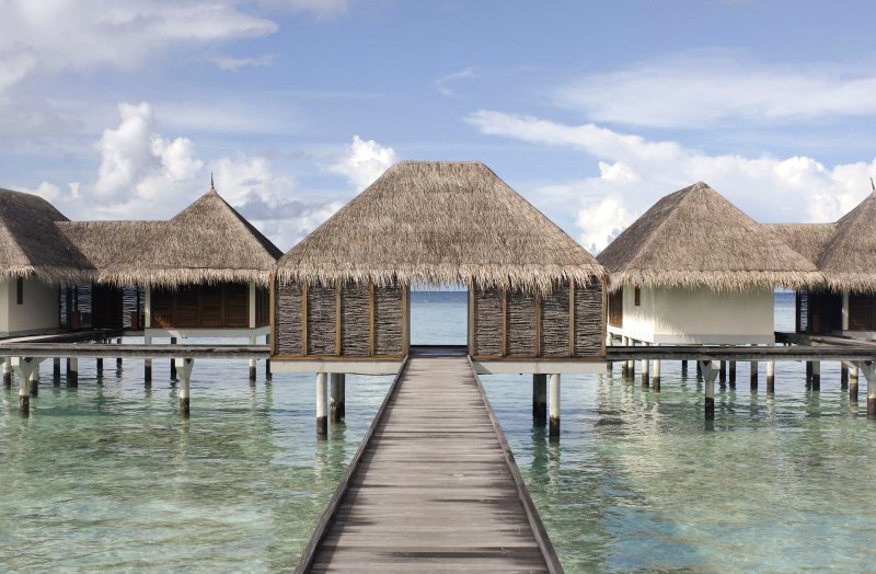 Resort villas in Landaa Giraavaru, Maldives
 http://commons.wikimedia.org/wiki/Category:Stilt_houses_in_the_Maldive_Islands#mediaviewer/File:Thatched-roof_villa_in_the_Maldive_Islands.jpg
 Godot13
The Maldives is a primarily Muslim country. The Maldivians converted to Islam as early as the 12th century. It was an Islamic sultanate from 1153, when Dhovemi Kalaminja converted to Islam, to 1968, when the monarchy was abolished and replaced by a republic with a president as head of state.
The Maldives experiences an oceanic tropical climate. Tempererature is fairly constant throughout the year, daily high temperature averaging between 29°C to 31°C. The hottest months are April and May. The wettest month is June, with rainfall of 295 mm (11.61 inches) while the driest month is February, with only 18 mm (0.71 inches) of rain.
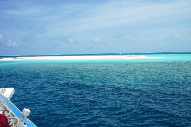 A sand bank in Maldives
 http://commons.wikimedia.org/wiki/Category:Beaches_of_the_Maldives#mediaviewer/File:Maldives-banc_arena.jpg
 J. Ollé
The 26 December 2004 Tsunami badly affected the Maldives, which suffered a death toll of 108 from the waves. Damage was estimated at over US$400 million. Due to concern that Maldives may one day sink right into the ocean, the government created a Sovereign Wealth Fund, from the money earned from tourism, to purchase land elsewhere, so that the Maldivians can relocate, should their country go under literally. So far, locations in Sri Lanka and India are under consideration.
Tourism is the main income earner of the country, generating 90% of the tax revenue for the government coffers.
Travel to Maldives
Tourists get a free 30-day visa on arrival, as long as they can provide proof of departure arrangement. The Malé International Airport (MLE) is located on Hulhulé Island, and is served by flights from the Indian subcontinent, Southeast Asia, Europe and Australia.Travel within Maldives
The main form of transport is waterborne, such as boats, ferry and water taxi. Tourists are usually confined to the tourist islands. Going anywhere is by taxi boats from the resort islands, and only to permittable destinations. The government is careful to prevent their people from being "contaminated" by contact with tourists.Apart from Malé, you will need an Inter Atoll Travel Permit from the Ministry of Atoll, at a cost of Rf 10, to visit any of the other inhabited islands - as long as you receive a written invitation from the resident of the island. Other than that, the only other way to get a peek at Maldivian life outside the resorts is by joining an island-hopping tour arranged by the resorts.
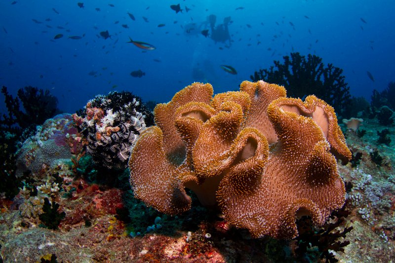 Soft coral, Maldives
 http://commons.wikimedia.org/wiki/Category:Reefs_of_the_Maldives#mediaviewer/File:Maldives_soft_coral.jpg
 Tchami

Copyright © 2003-2025 Timothy Tye. All Rights Reserved.

 Go Back