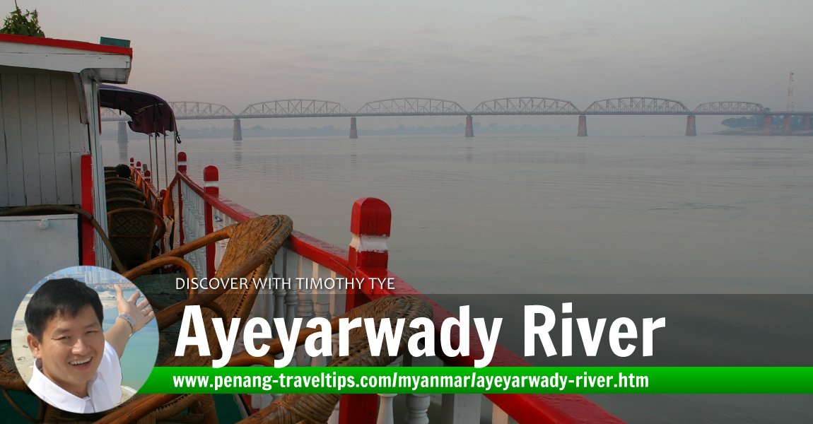
 Ayeyarwady River, Myanmar (24 November, 2003)
Ayeyarwady River is the longest river in Myanmar and one of the great rivers of Asia. Also written as Ayeyarwaddy and and formerly as the Irrawaddy, the Ayeyarwady River flows on a 2170km course from the Himalayas before fanning out into a delta in Myanmar, and eventually emptying into the Andaman Sea. Along the way the Ayeyarwady enriches the soil, allowing for a population to thrive and a civilisation to emerge. When the British referred to the "Road to Mandalay", they were speaking of the Ayeyarwady River. The Ayeyarwady River has been Myanmar's major transportation route, then as it is today.
It is fascinating to note how a single river can have far-reaching impact on the daily life of the people of a nation. I saw it with the Mekong in Cambodia, the Chao Phraya in Thailand, and here, the Ayeyarwady.
Following the Ayeyarwady will take you through the full range of Myanmar's climatic zones. In the flat 240km-wide delta, you find vast irrigated paddy field. Further up, you encounter the ancient ruins of Sri Ksetra, near Bago, and then Bagan. At Bhamo, which is the furthest navigable point, the Ayeyarwady River enters the Shan Plateau. Beyond that, the Ayeyarwady continues upwards into the Kachin Hills and to the foot of the Himalayas.
Ayeyarwady River Travelogue, 23 November, 2003
We had the pleasure of cruising the Ayeyarwady twice. The first time was from Mandalay to Mingun and back. That was an hour-long journey. Our second trip on the Ayeyarwady took a good part of an entire day, from Mandalay all the way to Bagan. We started the trip at early morning, and even after the sun came out, it was extremely cold. We passed the mighty Inwa Bridge, built by the British in 1934 to connect Inwa on the east bank with Sagaing on the west. Lone fishermen passed us in their canoes. We saw farmers ploughing their fields with oxen by the banks of the Ayeyarwady, much the same way as had been done here for generations. At Sagaing, we saw the plethora of temples that dot the hills.After a few hours, it gets dull staying outside. We tried to kill time by reading, sleeping, loafing. Lunch was on board. Tables were lined up and we had a good spread, complete with fruits for dessert. By the time we arrived in Bagan, it was late afternoon, around 4:30pm.
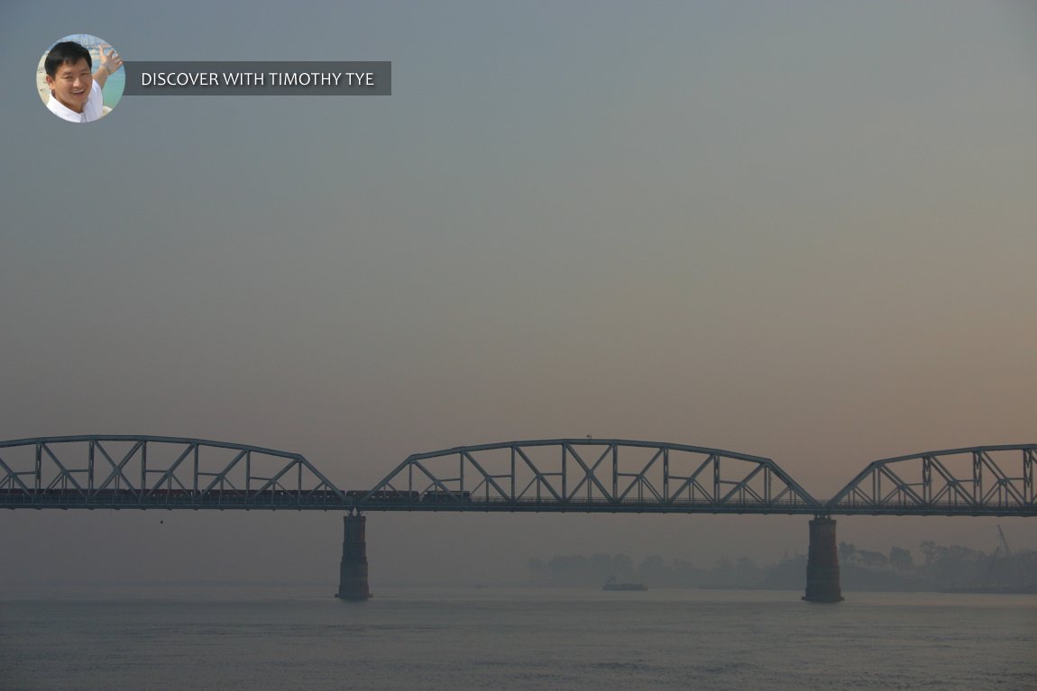
The British-built Inwa Bridge crosses the Ayeyarwady River. (24 November, 2003)

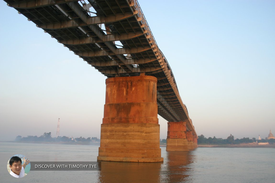
A closer view of the Inwa Bridge as it crosses the Ayeyarwady River. (24 November, 2003)

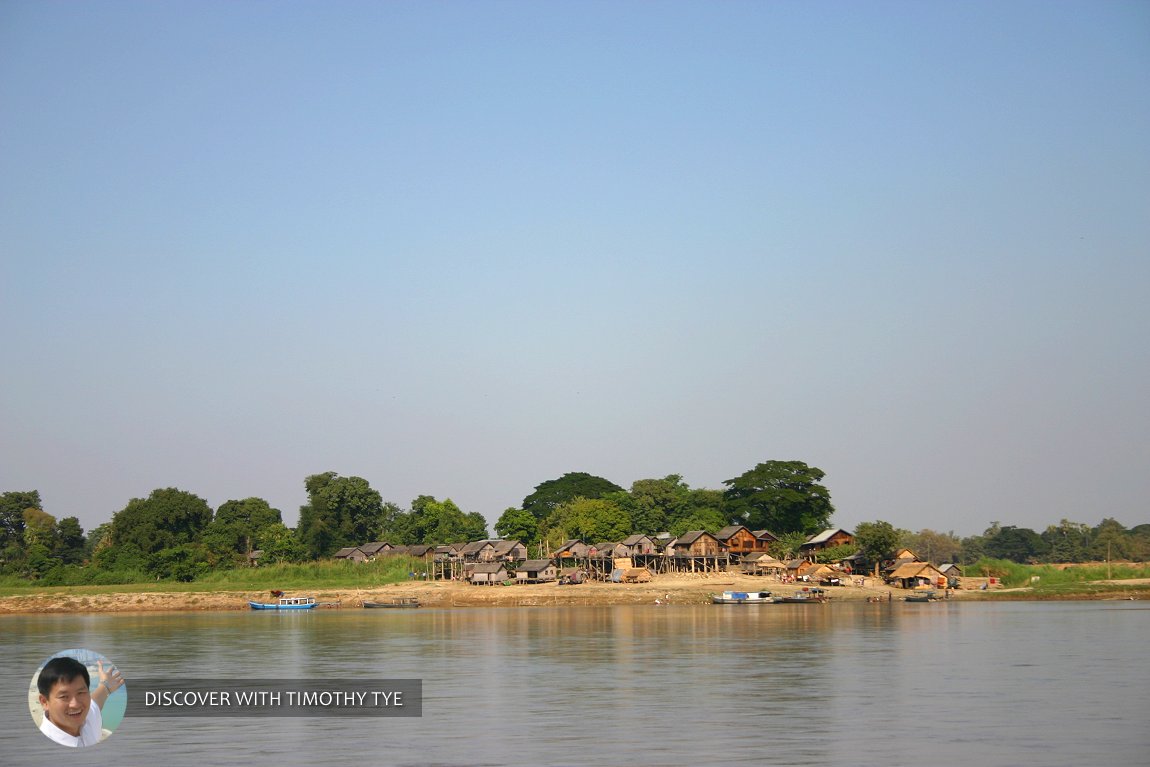
Village by the banks of the Ayeyarwady. (23 November, 2003)

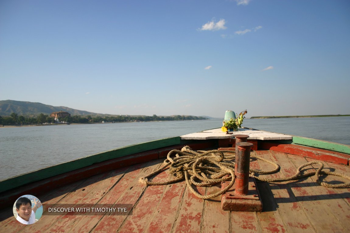
Our boat going down the Ayeyarwady. To the distant left are the remains of the Mingun Pagoda. (23 November, 2003)

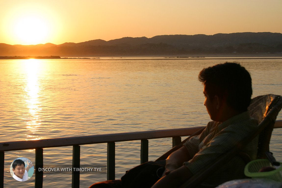
Our guide Henry Yan watches the sunset on the Ayeyarwady. (23 November, 2003)

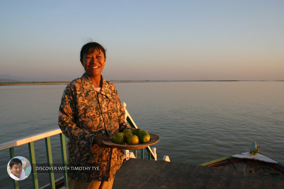
Our boatman's wife served us mandarin oranges as we passaged down the Ayeyarwady. (23 November, 2003)

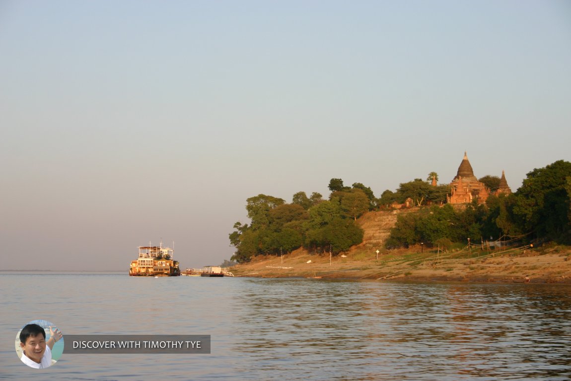
The sight of ancient ruins signal our arrival at Bagan. (24 November, 2003)

 Latest updates on Penang Travel Tips
 Map of Roads in Penang
Looking for information on Penang? Use this Map of Roads in Penang to zoom in on information about Penang, brought to you road by road.
Copyright © 2003-2025 Timothy Tye. All Rights Reserved.

 Go Back