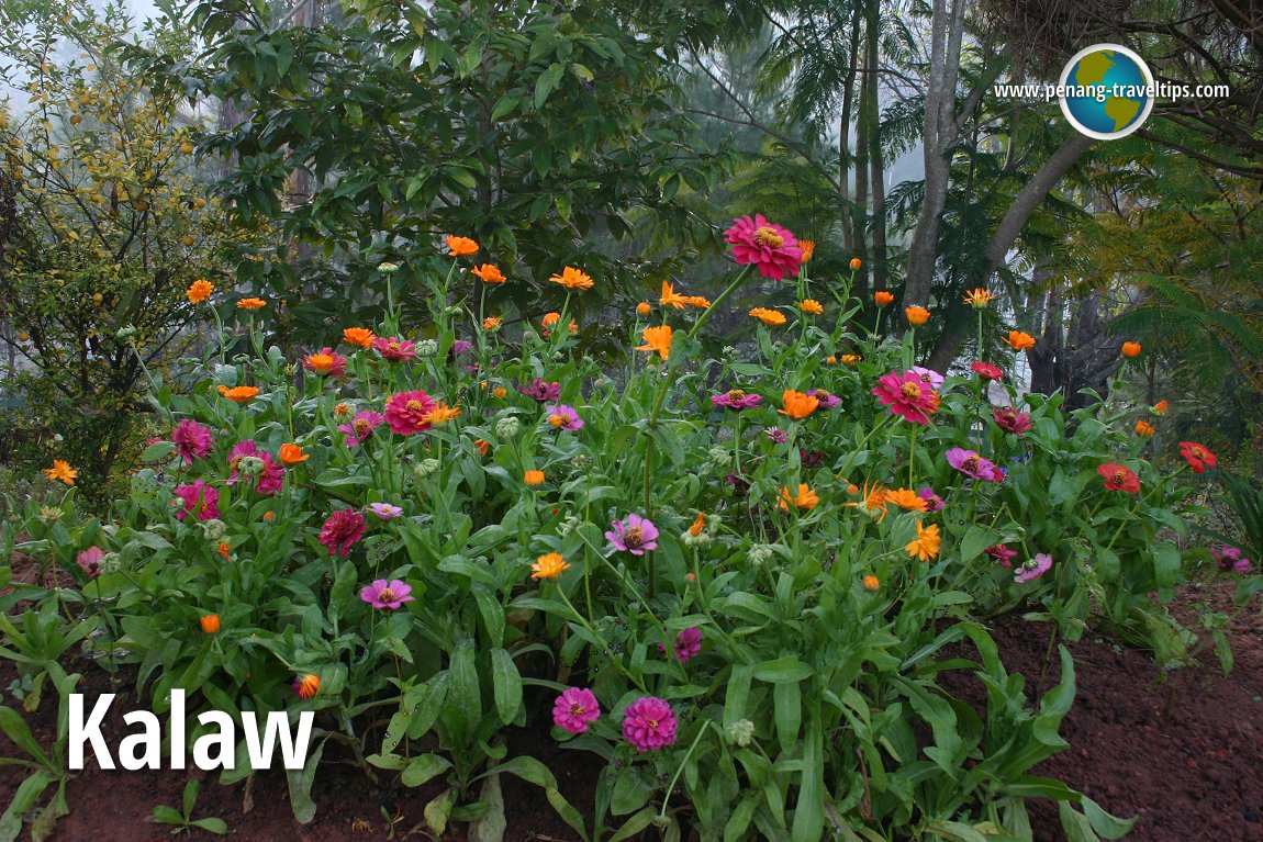
 Kalaw, Myanmar (27 November, 2003)
Kalaw is a hill station on the western edge of the Shan Plateau in Myanmar. Kalaw is located 70 km west of Taungyi, about halfway along the Thazi-Taungyi road. Kalaw was a popular hill station for the British to enjoy the mild climate. Situated at an altitude of 1320 m, Kalaw is cool during the day and cold at night. There are many hiking trails amid gnarled pines and bamboo groves.
The population of Kalaw is a mix of Shan, Indian Muslims, Bamars and Nepalis (mostly Gurkhas who retired from British military service). Kalaw is about two hours west of Nyaungshwe. We visited it from Bagan. Inclusive of a stopover at Popa Taungkalat, the journey took a good part of an entire day.
Among the places of interest in Kalaw are Thein Taung Pagoda, Aung Chan Tha Pagoda, Su Taung Pyae Pagoda and the King Church. While in Kalaw, you can explore the temples and churches, see a bamboo Buddha and meet tribes that congregate for their market that happens once every five days.
Kalaw Travelogue, 26-27 November, 2006
We arrived in the dead of night, after a long and tiring journey from Bagan. Our hotel was a remote pine lodge in the mountains. The air was frigid and the water from the tap icy cold.Perched on the western rim of the Shan Plateau, Kalaw used to be the favourite hill retreat for British officials. This charming town of rustic beauty is our starting point in Shan state of Myanmar. (Unfortunately for me, from Kalaw onwards I developed a cold that I couldn't shake off even after coming home.) It was at Kalaw that I saw poppy plants for the first time. The poppy plants were grown as ornamentals in the English garden of my hotel.
The country beyond Kalaw must rank as one of the most beautiful in the whole Myanmar. Some would call it the Switzerland of Myanmar. Here, the hills undulate gently. The climate is conducive for planting, hence we come across fields of flexseed and other crops. It really felt like heaven here, this tucked away corner of Myanmar. I would be satisfied having a country house here, surrounded by all that beauty.
 Latest updates on Penang Travel Tips
 Map of Roads in Penang
Looking for information on Penang? Use this Map of Roads in Penang to zoom in on information about Penang, brought to you road by road.
Copyright © 2003-2025 Timothy Tye. All Rights Reserved.

 Go Back