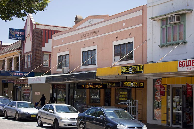
 Monaro Street in Queanbeyan, New South Wales
Source: https://commons.wikimedia.org/wiki/File:Black%27s_Chambers_in_Monaro_Street_(Kings_Highway),_Queanbeyan.jpg
Author: Bidgee

Queanbeyan is a city in the Southern Tablelands region of New South Wales, right next to the Australian Capital Territory. It has a population of around 35,000 people (2012 estimate).
The name Queanbeyan comes from an Aboriginal word meaning "clear waters". The town grew from a squattage established by Timothy Beard, an ex-convict who opened an inn by the banks of the Molonglo River. It was proclaimed a township in 1838.
Today Queanbeyan is a modern town with an economy based on high technology industries, services, retail, manufacturing and agriculture. The Queanbeyan area experienced a minor gold rush when traces of gold were discovered in 1851. This brought an influx of settlers and prospectors to the area, which was a wild frontierland with a high crime. Many escaped convicts prey on the settlers as bushrangers.
The founding of Canberra as the federal capital of Australia provided a tremendous boost to the town's economy. It received city status in 1972. Today, in addition to having an industrial base of its own, serves as a commuter town to those working in Canberra.
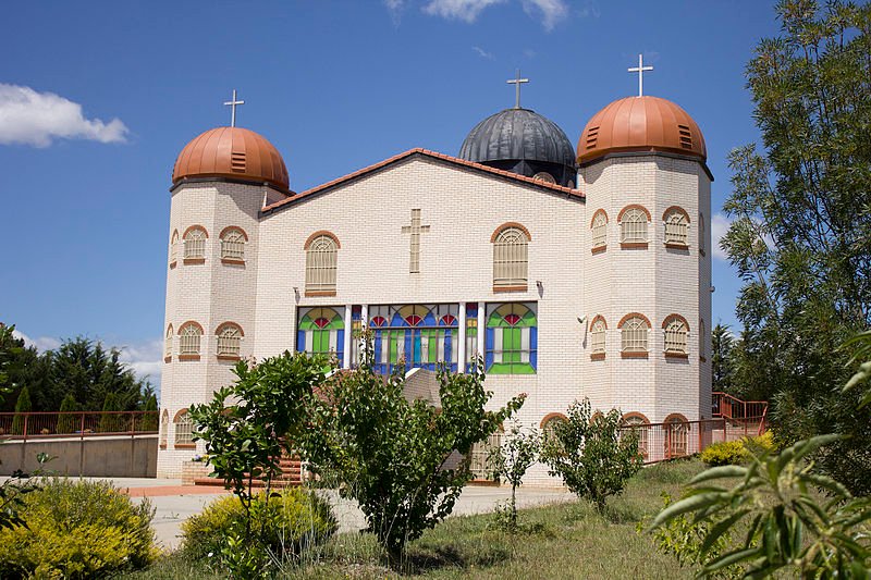
 The Church of St Demetrios in Queanbeyan
Source: https://commons.wikimedia.org/wiki/File:Church_of_St_Demetrios_in_Queanbeyan_(1).jpg
Author: Bidgee

Visiting Queanbeyan
The CountryLink trains (https://www.countrylink.info/) make a stop at Queanbeyan on the way between Sydney and Canberra. If going by car, take National Highway 31 out of Sydney, then continue on National Highway 23 to Canberra. Continue on Highway 52 (Kings Highway) heading east to reach Queanbeyan. Places of Interest in Queanbeyan
- Second Boer War Memorial
Memorial to Australians who fought in the war. It was erected in 1903. - World War I Memorial
Memorial erected on ANZAC Day in 1923.
Back to Discover Australia
 Latest updates on Penang Travel Tips

Copyright © 2003-2025 Timothy Tye. All Rights Reserved.

 Go Back