 Circular Quay, Sydney
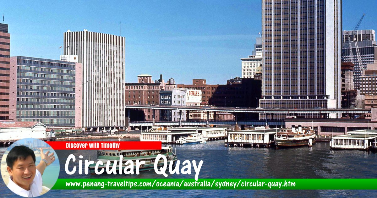
Circular Quay (GPS: -33.86113, 151.21264) is a place on the northern side of Sydney's Central Business District. It is located between Bennelong Point, where the Sydney Opera House is located, and The Rocks. Circular Quay consists of walkways, pedestrian malls, parks and restaurants. It is a major transport hub for Sydney, with quays for ferry, a train station and a bus terminus. The Cahill Expressway passes through Circular Quay to link to the Sydney Harbour Bridge to the west. Formerly there was also a tram terminus at Circular Quay which has now been replaced by the bus terminus.
The railway station at Circular Quay is the only one on the City Circle that is above ground. It offers a splendid view of the harbour, looking out over the ferry terminus. The quay has five commuter ferry wharves. It is the terminus for all public ferry routes in Sydney Harbour and the Parramatta River.
Getting there
Take the CityRail to the Circular Quay Station.Circular Quay is  on the Map of Sydney, Australia
Back to Discover Sydney
 Latest updates on Penang Travel Tips

Copyright © 2003-2025 Timothy Tye. All Rights Reserved.

 Go Back