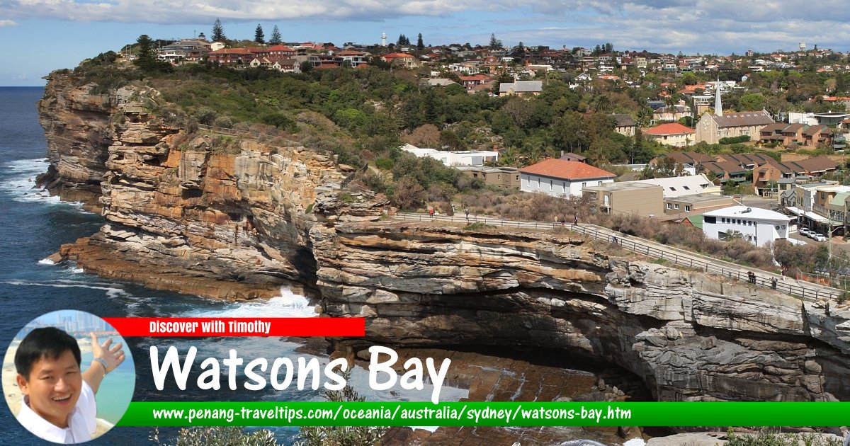
 Watsons Bay, Sydney
Adam.J.W.C., CC BY-SA 2.5, via Wikimedia Commons
Watsons Bay (GPS: -33.845, 151.28285) is a scenic spot on the extreme eastern part of Sydney Harbour. Located 11 km to the northeast of the Sydney Central Business District, Watsons Bay sits at the end of South Head, a peninsula that points northwards into the harbour like a crooked finger.
Watsons Bay is popular for the panoramic views of Mandy, North Head and the Pacific Ocean. To the immediate south of Watsons Bay is the suburb of Vaucluse.
The area where Watsons Bay is located was inhabited by the Cadigal Aboriginal people during the first arrival of the British in the late 18th century. They called the place Kutti. It was subsequently named Watsons Bay after Robert Watson, who was harbour pilot and harbourmaster of the Port of Sydney in 1811, and also served as the first superintendent of Macquarie Lighthouse in 1816.
Today in addition to the splendid views, visitors can also visit some of the heritage buildings located at Watsons Bay, some of which have been listed on the Register of the National Estate. They include Buildings 28-31, Hornby Light House, former Marine Station, Our Lady Star of the Sea Church, former School Residence by George Mansfield, the Sandstone Obelisk, Scout Hall and St Peter's Church.
Watsons Bay is  on the Map of Sydney, Australia
Back to Discover Sydney
 Latest updates on Penang Travel Tips

Copyright © 2003-2025 Timothy Tye. All Rights Reserved.

 Go Back