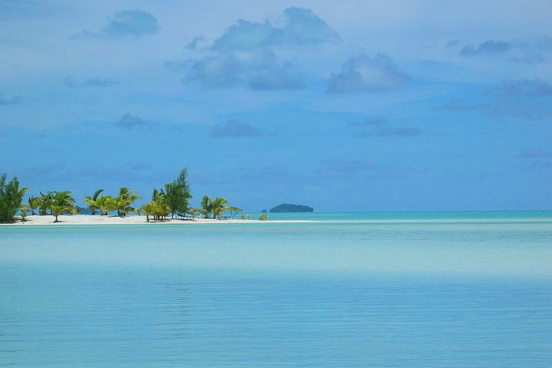
 Aitutaki Lagoon, Cook Islands
Source: https://commons.wikimedia.org/wiki/File:Aitutaki_Lagune.JPG
Author: Ciell

Cook Islands is a small island nation in the South Pacific Ocean. It is today a self-governing entity in free association with New Zealand. Cook Islands covers 240 sq km (91 sq mi) and has a population of about 20,000 (2011 estimate). Its capital and biggest city is Avarua, located on Rarotonga Island.
Cook Islands comprise 15 main islands spread over an area of 2.2 million sq km of ocean. They are composed of two groups of islands and atolls, known collectively as the Northern Cook Islands and Southern Cook Islands. The islands were formed by volcanic activities.
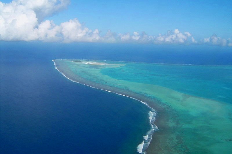
 Motu Maina, an islet at the southwest corner of Aitutakis lagoon, Cook Islands
Source: https://commons.wikimedia.org/wiki/File:Motu_Maina.JPG
Author: Mr Bullitt

Cook Islands is ten hours behind Coordinated Universal Time (UTC-10). Traffic is driven on the left here, just as in Britain and New Zealand. The phone IDD code for Cook Islands is +682. The electricity is 240V/50Hz using Australian plug.
Today the economy of Cook Islands is heavily dependent on tourism. The country does not have major natural resources and is often dependent on foreign aid, with a large share of support coming from New Zealand. In 2005, Cook Islands had an estimated GDP at purchasing power parity of $183.2 million, equivalent to $9,100 per capita.
The Cook Islands have been inhabited by Polynesians since at least the 6th century AD. The first Europeans to sight them were the Spanish, with Álvaro de Mendaña de Neira having recorded sighting Pukapuka in 1595, naming it San Bernardo. The first recorded landing by a European in the Cook Islands was that of Portuguese-Spaniard Pedro Fernández de Quirós, on Rakahanga in 1606.
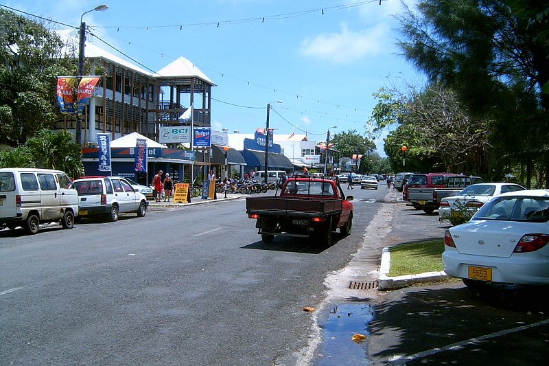
 Avarua, Cook Islands
Source: https://commons.wikimedia.org/wiki/File:Avarua,_february_2006.jpg
Author: Mr Bullitt

British missionary efforts in the Cook Islands began in the 19th century. This led to most of the islanders converting to Christianity. The Cook Islands became a British protectorate in 1888. The protectorate status was transferred to New Zealand in 1901, despite local opposition. Cook Islands remained a New Zealand protectorate until 1965, when it was given self-governing status. Today it is considered technically independent, though to be exact it is "self-governing in free association with New Zealand".
Planning your visit to Cook Islands
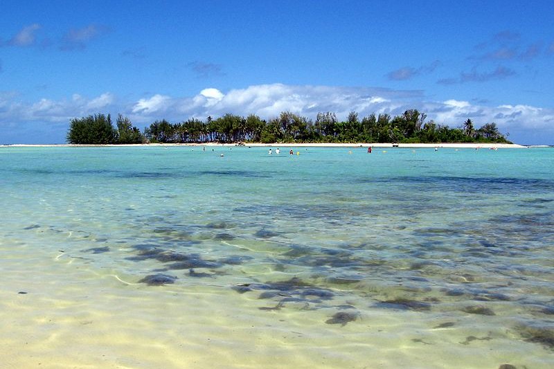
The main gateway to Cook Islands is Rarotonga International Airport (RAR), which receives regular flights from Auckland, Fiji and Los Angeles, among others. Muri Beach, Rarotonga, Cook Islands
Source: https://commons.wikimedia.org/wiki/File:Muri_Beach,_Rarotonga,_Cook_Islands.jpg
Author: Gemma Longman

Major Cities in Cook Islands
- Avarua
Southern Cook Islands
- Aitutaki
- Mangaia
- Manuae
- Rarotonga
- Palmerston Island
Northern Cook Islands
- Manihiki
- Nassau
- Penrhyn Island
- Pukapuka
- Rakahanga
- Suwarrow
 Latest updates on Penang Travel Tips

Copyright © 2003-2025 Timothy Tye. All Rights Reserved.

 Go Back