Pangsapuri Pinang Emas, Batu Ferringgi
 Go Back | PENANG Sights & Streets | Hokkien | Dictionary | Real Estate | SojiMart | Facebook | Contact Me | About Me
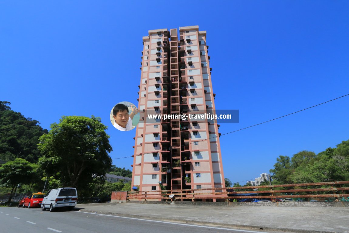
 Pangsapuri Pinang Emas, Batu Ferringgi, Penang (6 February 2019)
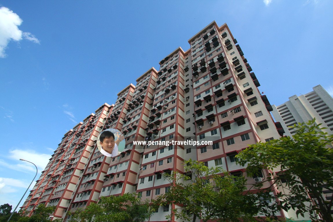
Pangsapuri Pinang Emas (GPS: 5.46795, 100.24801) are low cost flats in Batu Ferringgi, Penang. It comprises two 22-storey blocks at the end of Jalan Sungai Satu. Shops occupy the ground floor. The motorcycle park is also on the ground floor under the two blocks, while the car park is around the building.
Facilities at Pangsapuri Pinang Emas
Facilities at Pangsapuri Pinang Emas are limited to communal parking and general maintenance.Location of Pangsapuri Pinang Emas
Pangsapuri Pinang Emas is 16.7 km to Komtar, 23.4 km to the Penang Bridge, 31.4 km to the Second Penang Bridge and 31.3 km to the Penang International Airport.Amenities at Pangsapuri Pinang Emas
The nearest market is the Batu Ferringgi Market which will open to the public in July 2019. The nearest petrol station is the Petronas along Jalan Batu Ferringhi. The nearest school is SJKC Pai Chai. The nearest shopping centre is Lotus's Tanjung Pinang. The nearest hospital is the Penang Adventist Hospital.Public transport at Pangsapuri Pinang Emas
At present, the nearest bus stop is along Jalan Batu Ferringhi, a good 10-minute walk away.Traffic situation at Pangsapuri Pinang Emas
Traffic along Jalan Sungai Satu is low, but picks up substantially when you reach Jalan Batu Ferringhi. Pangsapuri Pinang Emas, Batu Ferringgi, Penang (6 February 2019)
 Pangsapuri Pinang Emas, Batu Ferringgi, Penang (26 September 2009)
Pangsapuri Pinang Emas on Google Maps Street View
Pangsapuri Pinang Emas (Jun 2018)Pangsapuri Pinang Emas is  on the map of Jalan Sungai Satu, Batu Ferringgi
Pangsapuri Pinang Emas is  on the Map of Batu Ferringhi
List of Flats in Penang and Flats in Malaysia

Copyright © 2003-2025 Timothy Tye. All Rights Reserved.