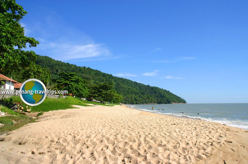
 Pasir Panjang, Balik Pulau (9 May 2004)
Pasir Panjang is a stretch of sandy beach in Balik Pulau, on the southwestern tip of Penang Island, facing the Straits of Malacca. Once Pasir Panjang was just a quiet fishing hamlet, with a handful of fisherman's huts. Today, the huts were gone, taken over by Kem Bina Negara, an outward bound camp.
Pasir Panjang on Google Street View
A winding hill road leads towards the beach of Pasir Panjang. The place is mostly frequented by picnickers and anglers during the weekend. The beach suffered some damage during the December 2004 tsunami, but has since been cleared of any tsunami debris. It is a good place for locals to relax and enjoy the beach away from the crowds on the north coast.
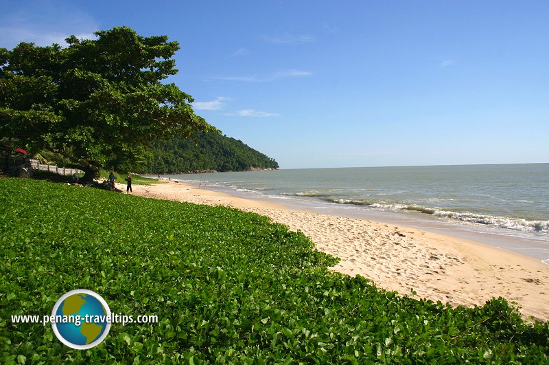 Beach morning glory carpeting the sand of Pasir Panjang (9 May 2004)
Pasir Panjang has changed a lot from the time I first knew it over twenty years ago. At that time, there were fishermen living in the site where you see Kem Bina Negara today. I remember riding my motorcycle from Kampung Pulau Betong to explore the area. I even wrote about the place for The New Straits Times, to which I was a stringer during that time. I have to say it is much nicer back then.
Getting there
There are no public buses to Pasir Panjang. The Rapid Penang bus 403 goes to Kampung Pulau Betong. Unless you plan to trek there from Kampung Pulau Betong - give half an hour to forty-five minutes for the journey - the best way to reach Pasir Panjang is by private vehile, whether car or motorcycle.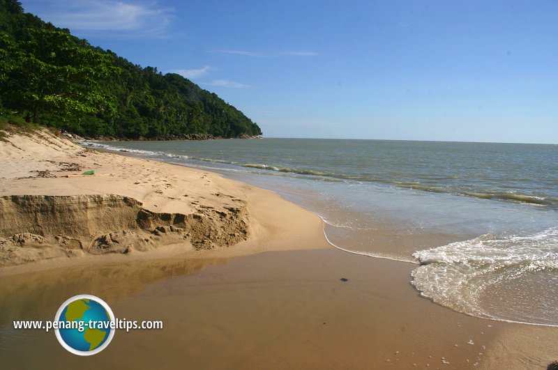 The golden sand of Pasir Panjang (9 May 2004)
 Pasir Panjang (9 May 2004)
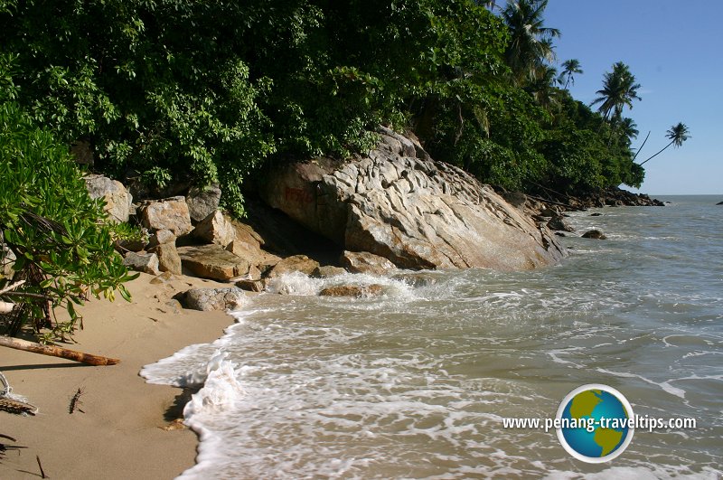
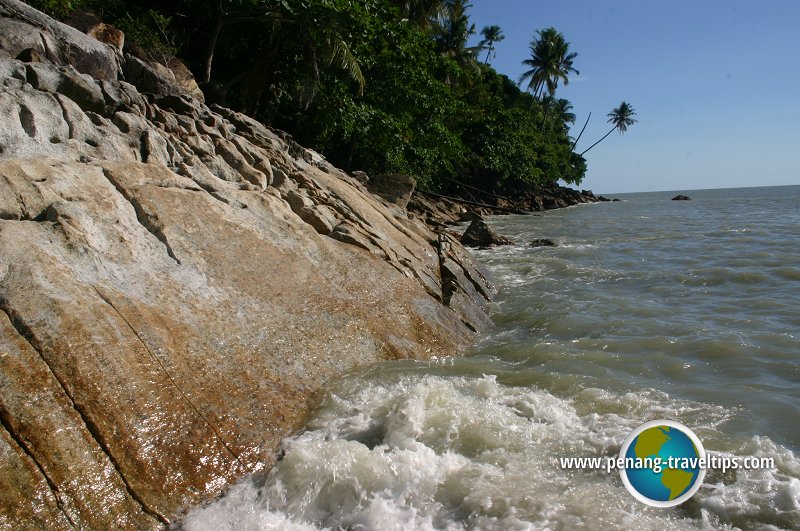 Waves crashing on the rocks at Pasir Panjang (9 May 2004)
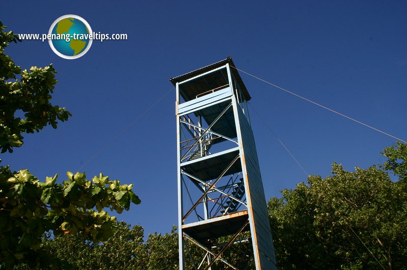 Watch tower at Kem Bina Negara (9 May 2004)
Location of Pasir Panjang on the map
List of Beaches in Penang and Beaches in Malaysia

Copyright © 2003-2025 Timothy Tye. All Rights Reserved.

 Go Back