
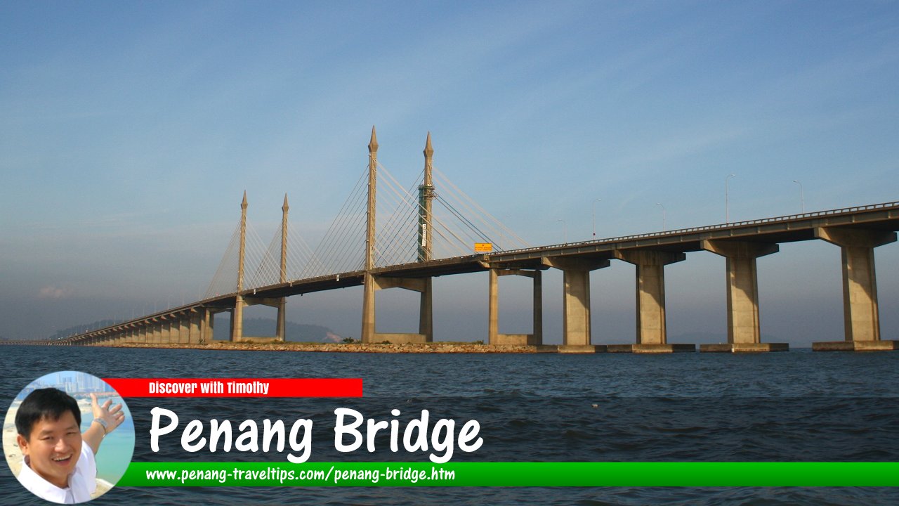
 Penang Bridge (15 July 2006)
B. Melayu
The Penang Bridge (E36) is the second longest bridge in Malaysia. It was the longest until the completion of the Sultan Abdul Hamid Mu'adzam Shah Bridge, also in Penang. The Penang Bridge is a dual-carriageway toll bridge that connects Gelugor on Penang Island with Prai in Seberang Perai on the mainland of Malaysia. The Penang Bridge is also linked to the North-South Expressway in Prai and the Tun Dr Lim Chong Eu Expressway in Penang. It carries the Malaysian expressway route number of E36.
Songs about the Penang Bridge
Map of Penang Bridge
Penang Bridge is  on the Map of Gelugor, Penang
Updates on the Penang Bridge
2 November, 2018Finance Minister Lim Guan Eng, in his maiden Budget Speech for Year 2019, announced that toll for motorcycles using the first and second Penang bridges would be abolished.
About the Penang Bridge
The Penang Bridge was officially opened to traffic on September 14 1985. With a total length of 13.5 km at time of completion, the Penang Bridge is one of the longest bridges in the world as well as a national landmark. However the length of 13.5 km includes the motorway between the exit to Jalan Tunku Kudin, which was counted as the entire access to the bridge. The actual length across the sea was stated at 8.0 km, and I reconfirmed this by measuring it on Google Maps. The Penang Bridge was expanded from 4 lanes to 6 lanes to accommodate the increased traffic while a second link between Penang Island and the mainland has been approved under the 9th Malaysia Plan.The widening work project is expected to cost RM585mil and was completed in June 2008. The widened brige will have a new lane on each side comprising a 2m-wide lane for motorcycles and a 3.5m-wide lane for other vehicles. The number of toll booths will also be increased from 13 to 25.
It took 40 years for the dream of building a bridge to link Penang Island to the mainland to become a reality. Until then, the Penang Ferry was the only option to cross the Penang Channel. Even as early as 1940's, there was traffic congestion on the old ferry terminal.
According to the late Tun Dr Lim Chong Eu, former Chief Minister of Penang, "The authorities considered expanding the ferry service. They also considered having another ferry terminal at another point, or building an island-mainland linkage either with a bridge or a tunnel. As far as I remember, ever since I have been in public life, the question of a linkage with the mainland had been mooted and there were proponents for the bridge, for the tunnel and for another ferry terminal.
"From the late 1950s onwards, there were more people in favour of the bridge."
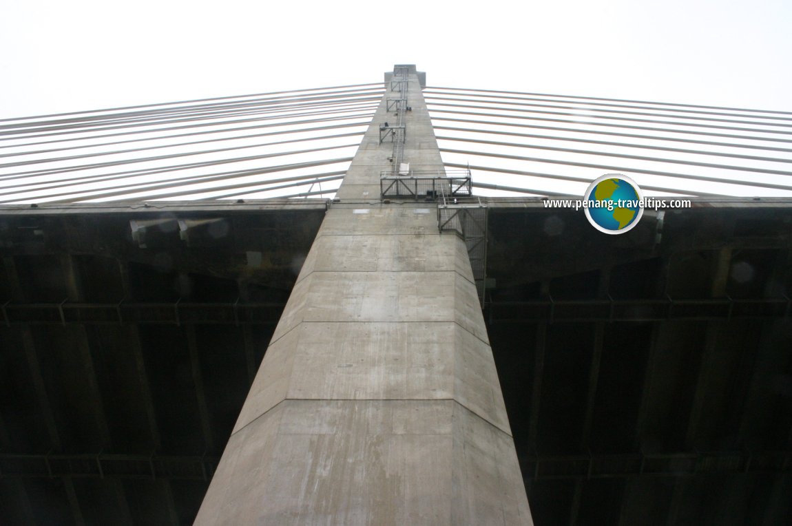 One of the massive pillars at the midspan of Penang Bridge (18 April 2004)
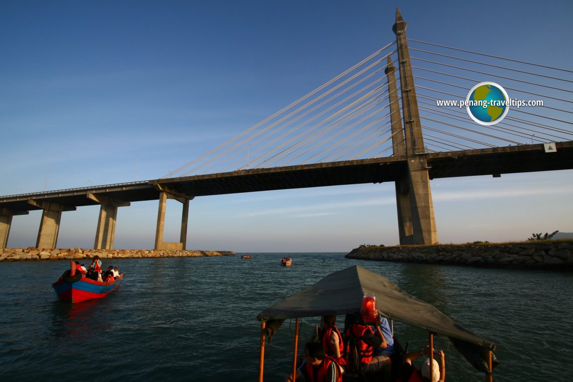 Sightseeing the Penang Bridge (15 July 2006)
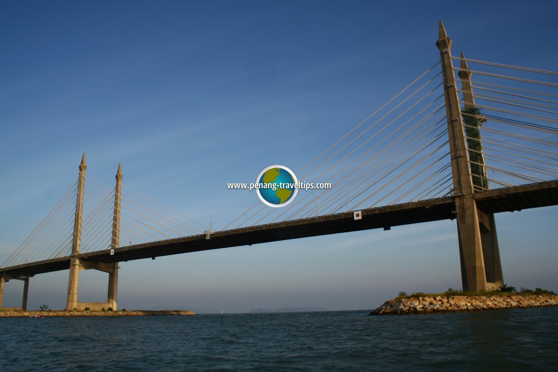 Midspan of Penang Bridge (15 July 2006)
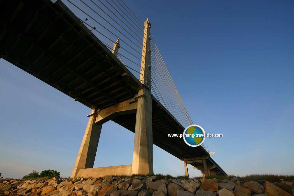 Penang Bridge (15 July 2006)
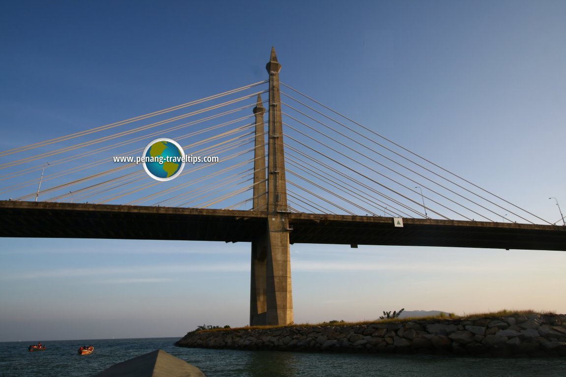 Midspan of Penang Bridge (15 July 2006)
In the late 1960s, the bridge concept was given added impetus because there was a feeling that Seberang Prai, the mainland part of Penang State, was being neglected in terms of development. When the Gerakan victory swept Tun Dr Lim into power in 1969, the bridge project was pushed ahead because it was in line with the party's election manifesto. However, nothing materialised, and the bridge project became a standing joke at every general election.
It was another decade before any concrete step towards constructing the bridge was to take form. As the eighties roll in, the government of Datuk Seri Dr Mahathir Mohamed pushed forward the project. On April 10, 1981, then Utilities Minister Datuk S. Samy Velu announced that the Government was considering two different designs for the bridge - the steel-tied arch in the style of the Sydney Harbour Bridge and the cable-stayed concrete girder of the San Francisco Golden Gate Bridge.
The decision to go with the latter design was announce on 23 July 1981. At that time, the price tag for the bridge was $629 million (yes, at that time, we were still using the $ sign instead of RM). Two months later, the price has been revised upwards to $744 million. It was projected that 50,000 people will use the bridge every day, or about 20 million a year. In April 1982, Dr Mahathir sank the first pile and the dream got closer to coming true.
The Penang Bridge was designed by Tan Sri Datuk Professor Ir. Chin Fung Kee, an authority in geotechnical engineering. Born in Nibong Tebal in southern Penang, Chin rose to become the acting Vice Chancellor of University of Malaya. Unfortunately, he died of cancer a year before the Penang Bridge was opened to traffic.
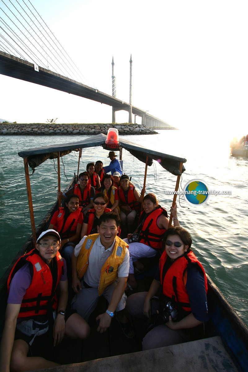
Members from AsiaExplorers and Penang Heritage Trust on a trip to view the Penang Bridge (18 April 2004)

Between 1981 and 1985, the people of Penang waited eagerly as the bridge took shape over the horizon. Finally on April 13, 1985, Penang island ceased being an island when it was physically linked to the mainland for the first time with the laying of the final slab of the bridge. By the time the finishing touches were put in place, around mid August, 1985, the Federal Government has spent $850 million on the bridge, of which $525 million was for the bridge itself, $180 million for the interchanges on the Prai side, and $28.7 million for land reclamation.
The bridge has an overall length of 13.5km (8.4 miles), with 8.4km over water. The four towers in mid span his 101.5 metres tall, and the bridge is 33 metres above water. The total length of piling for the bridge is 648km, equal to the distance from Butterworth to Johor Bahru. The bridge can withstand earthquake up to 7.5 on the Richter scale.
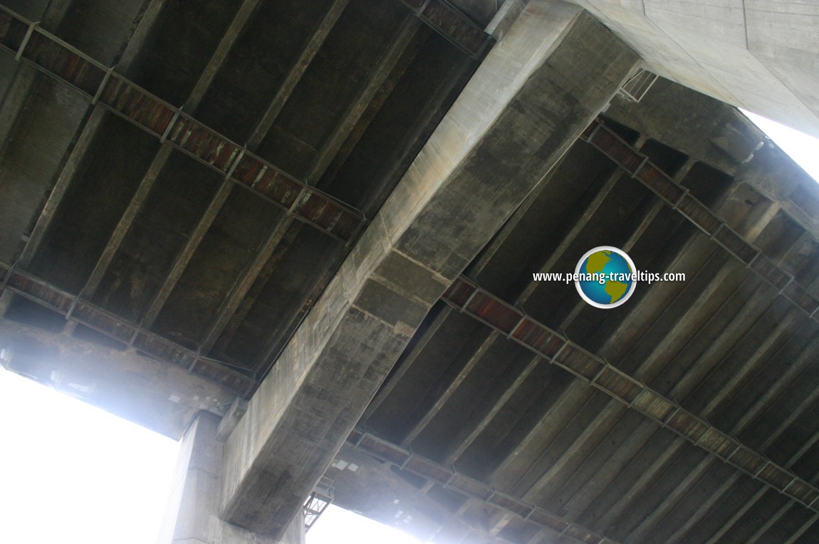 View from under the Penang Bridge (18 April 2004)
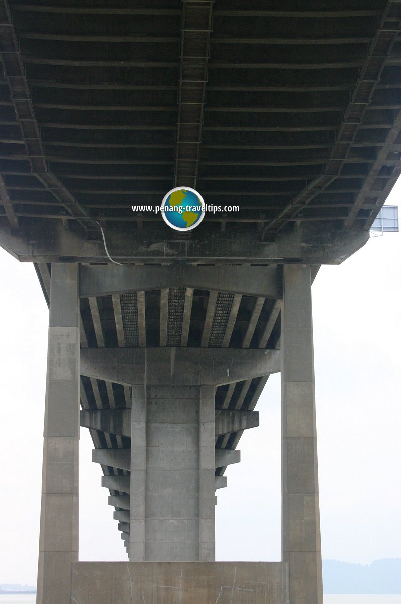
View of the roadway from under the Penang Bridge (18 April 2004)

More than 2300 people were involved in the construction, including about 800 South Koreans from the main contractor, Hyundai Engineering and Construction Co. Ltd. Twenty workers died in the construction, with the worst tragedy occuring on October 20, 1984 when five were killed when a crossbeam collapsed.
On Saturday, August 3, 1985, Dr Mahathir drove across the bridge in a red Proton Saga, bringing two national dreams to reality. By his side was Datin Seri Dr Siti Hasmah and in the back seat were Tun Dr Lim Chong Eu, then Works Minister Datuk S. Samy Vellu and Proton Chairman Tan Sri Jamil Jan.
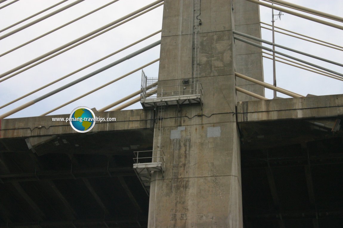 The Penang Bridge maintenance staircase (18 April 2004)
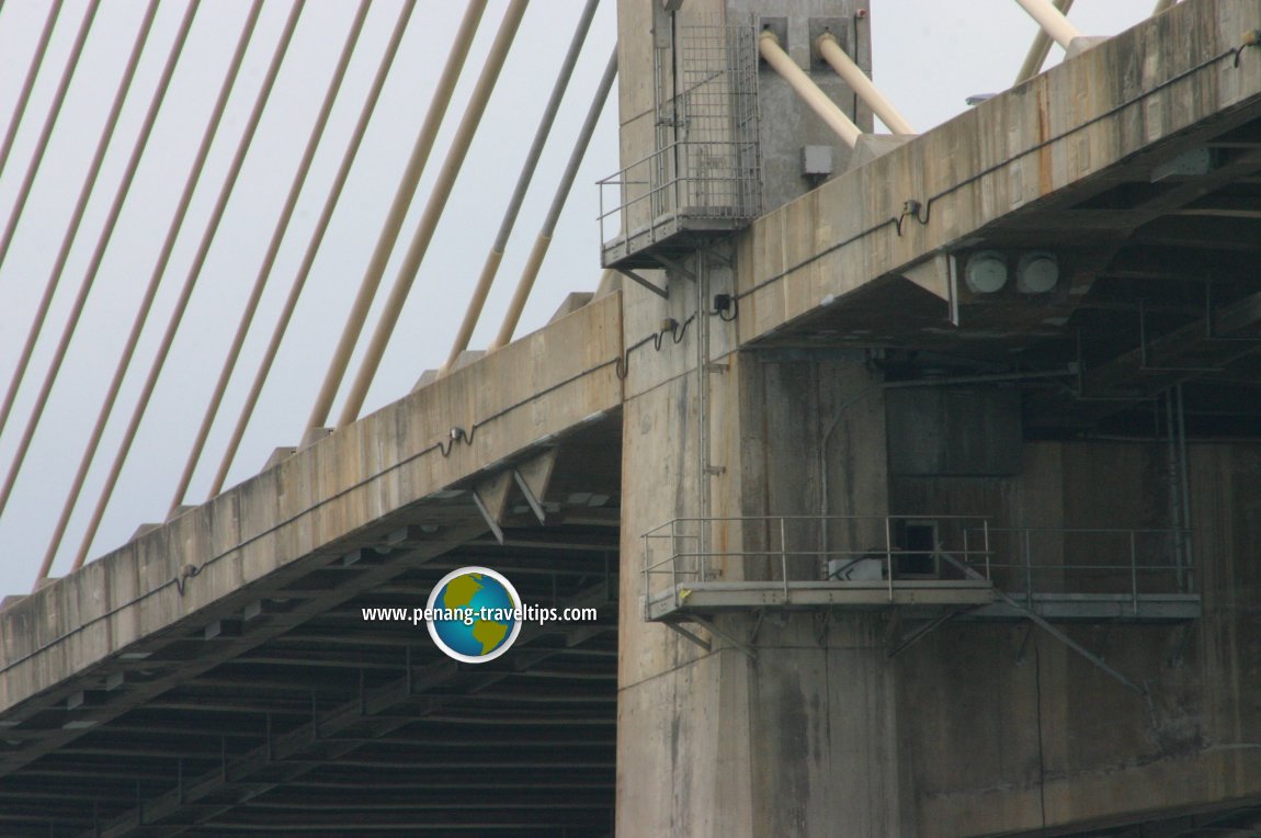 Another view of the maintenance staircase (18 April 2004)
Finally, on Sunday, September 15, 1985, the Yang di-Pertua Negeri, Tun Dr Awang Hassan, opened the bridge to the public and became its first user.
Some details about the bridge
- Overall length: 13.5km or 8.4 miles, of which 8.4km is over the South Channel.
- Length of the Penang Island approach: 1.5km
- Length of the Prai approach: 3.6km
- Height of the four main towers above water: 101.5m
- Maximum height of bridge above water at main span: 33m
- Length of main span: 225m
- Length of end span: 107.5m
- Length of other spans: 40m
- Speed limit on the bridge: 80kph
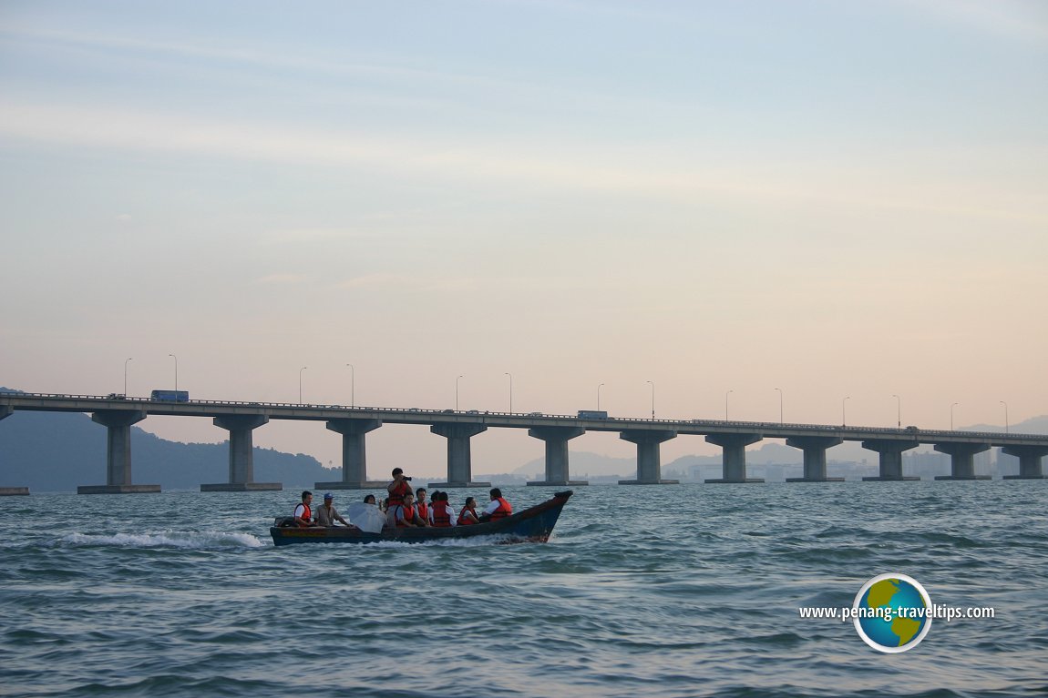 Sightseeing the Penang Bridge by boat (15 July 2006)
List of Bridges in Penang and Bridges in Malaysia
Private Guided Tours of Penang
If you are seeking private guided tours of Penang, message Penang Tour Guides at penangtourguides@gmail.com and enquire with them. Buy, rent or sell properties in Penang
Do you have a property for sale or to rent out? Are you looking to buy or rent a property? Get in touch with me. WhatsApp me (Timothy Tye) at 012 429 9844, and I will assign one of my property agents to serve you. I will choose the agent for you, according to your property needs. So when you message me, provide me some details of what you need, whether to sell, to buy, to rent or to rent out, and what type of property, is it condo, apartment, house, shop, office or land. Latest updates on Penang Travel Tips
 Map of Roads in Penang
Looking for information on Penang? Use this Map of Roads in Penang to zoom in on information about Penang, brought to you road by road.About this website

Dear visitor, thank you so much for reading this page. My name is Timothy Tye and my hobby is to find out about places, write about them and share the information with you on this website. I have been writing this site since 5 January 2003. Originally (from 2003 until 2009, the site was called AsiaExplorers. I changed the name to Penang Travel Tips in 2009, even though I describe more than just Penang but everywhere I go (I often need to tell people that "Penang Travel Tips" is not just information about Penang, but information written in Penang), especially places in Malaysia and Singapore, and in all the years since 2003, I have described over 20,000 places.
While I try my best to provide you information as accurate as I can get it to be, I do apologize for any errors and for outdated information which I am unaware. Nevertheless, I hope that what I have described here will be useful to you.
To get to know me better, do follow me on Facebook!
Copyright © 2003-2025 Timothy Tye. All Rights Reserved.

 Go Back