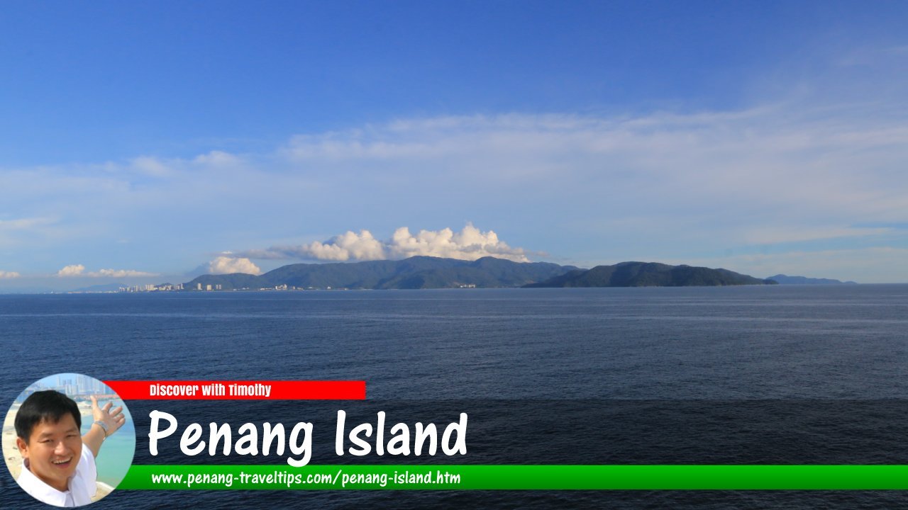
 Penang Island, as seen from SuperStar Libra cruiseliner. (30 September 2017)
Versi B. Melayu
Penang Island is the island portion of Penang State. Located on the west coast of Peninsular Malaysia, covers an area of 293 square kilometers (113 square miles). The highest elevation on Penang Island is at Penang Hill, which reaches 735 meters (2,411 feet).
Penang Island has been known and documented for centuries before Captain Francis Light landed there on 11 August, 1786, and renamed it the Prince of Wales Island, after King George IV of the United Kingdom of Great Britain and Ireland, who was then the Prince of Wales.
The population of Penang Island is estimated at 750,000, as of 2010, giving it a population density of 2,559.7 people per square kilometer, which is two and a half times the population density of Penang Mainland (1,049 people per square kilometer in 2010), already the second most densely populated local government area in the country. (It is not the most densely populated city in the country; Petaling Jaya has a population density of 6600 per square kilometer) The eastern seaboard of Penang Island is one of the most densely populated places in Malaysia.
George Town, the capital of Penang State, is on Penang Island. It is on the northeastern tip of the island. Established with the founding of Prince of Wales Island in 1786, it is one of the oldest and biggest cities in the country. The inner city of George Town was inscribed by UNESCO as a World Heritage Site on 7 July, 2008.
The local authority of George Town was established as the Municipal Council of George Town in 1857. This was elevated to the George Town City Council by a royal decree from Queen Elizabeth II on 1 January, 1957, providing for local election of the mayor. Penang Island was a free port until 1969, when its free port status was revoked. In 1974, a revamp of the local authority saw the merger of the George Town City Council with the Penang Rural District Council, to create a local government management board which was later replaced with the Penang Island Municipal Council (MPPP) through the Local Government Act, 1976. On 10 March, 2015, the Cabinet of Malaysia approved the creation of the Penang Island City Council (MBPP) to replace the Penang Island Municipal Council, backdating to be effective on 1 January, 2015.
Penang Island is connected to the mainland by the ferry, the Penang Bridge and the Sultan Abdul Halim Muadzam Shah Bridge. The central portion of the island is still largely forested, while the northwestern tip of the island is the location of the Penang National Park, the smallest national park in the country.
 Map of Penang Island
Places on Penang Island
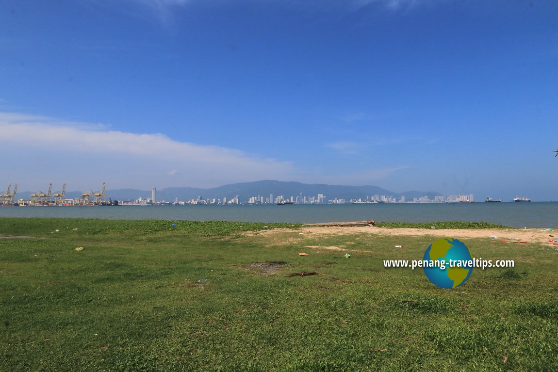
 View of Penang Island from R&R Bagan Ajam. (11 December 2017)

Copyright © 2003-2025 Timothy Tye. All Rights Reserved.

 Go Back


