Penang South Reclamation (PSR)
 Go Back
") Penang South Reclamation (PSR) (14 February 2022)
Penang South Reclamation (PSR) (14 February 2022)
Penang South Reclamation (PSR) refers to the land reclamation along off the southern coast of Penang Island to create three islands, to be collectively known as the Penang South Islands. The reclamation will be on the coasts fronting Gertak Sanggul, Teluk Kumbar, Sungai Batu and Permatang Damar Laut. The project delivery partner for this scheme is SRS Consortium, which is a consortium between Gamuda Bhd, Loh Phoy Yen Holdings Sdn Bhd and Ideal Property Develoopment Sdn Bhd.
As of now (7 March 2016), the exact details of the South Reclamation Scheme has not yet been released by the Penang State Government. I have created a map of the scheme based on information obtained from a briefing dated 26 February, 2016. However, I will not make this available until an official announcement is made by the State Government.
The initial phase involves the reclamation to form the 930-hectare Island A and 445-hectare Island B off Permatang Damar Laut and Sungai Batu, and a 323-hectare third island, tentatively known as Island C, created off Teluk Kumbar and Gertak Sanggul. To ascertain the viability of the project, the Danish Hydraulic Institute was entrusted to carry out studies of the south side of Penang Island. The institute has confirmed that the coast is suitable for land reclamation, due to its natural bay area and weak tidal currents.
From the information provided so far (as of 2 February 2016), the three islands of the Penang South Reclamation Scheme will not be extended from the Penang Island mainland, but will be connected to Penang Island via a series of bridges, which will deliver roadways and the LRT line. The islands will be served by a network of roads as well as the extension of the Mutiara LRT Line, and a dedicated tramway. In addition, there will be three "biodiversity" bridges (whatever that means!)
Island A and B will be occupied by a "new smart green city" called SRS Smart City. The city on the reclaimed land will have residential properties and waterfront, and will be served by the extension of the rail transit system.
The three islands of the Penang South Reclamation Scheme will have a central business district on Island B. This is where the main roads converge with the Mutiara LRT Line. Scattered throughout the three islands are plots for retail, commercial and mixed use.
Recreational Spaces on the Penang South Reclamation Scheme
Ample recreational spaces have been planned on all three islands. There will be 5 kilometers of public beaches2 facing the southwest, in the direction of Pulau Kendi, affording the public with views of sunset. Also planned are 25 kilometers of public parks2 and 700 acres of green spaces2. In addition, bicycle paths have been planned throughout the islands.Updates on the South Reclamation Scheme
30 December, 2017 The Star reports State Executive Councillor Chow Kon Yeow saying that the planned Penang South Reclamation Scheme is located far from international waters. It is also well within the three-nautical-mile radius from the existing shoreline of Penang Island's south coast. He refutes a statement by Natural Resources and Environment Minister Datuk Seri Dr Wan Nunaidi Tuanku Jaafar's claim that the continental shelf (the sloping undersea landmass between a continent and the ocean) allowed under the current law was three nautical miles from the shore. See off Teluk Kumbar (as seen from Lexis Suites Penang), where Island B will materialize (16 January 2016)
Issues and Concerns surrounding the Penang South Reclamation Scheme
Although I welcome the creation of new land space to alleviate land shortage on Penang Island, and to cool the need for residential and commercial development. However, there are a few concerns that I have, among them:- What sort of (negative) environmental impact will the Penang South Reclamation Scheme exert on the southern coast of Penang Island and the off shore area?
- The Chief Minister of Penang had earlier mentioned the expansion of the Penang International Airport to be carried out on an offshore island, but the information provided of land use for the three proposed islands do not appear to provide for the expansion of the airport. I fear our growth will be stifled if no allowance is made for the airport. Or will the expansion of the Penang Airport require the reclamation of yet another, even larger island?
- Where will the soil for the reclamation be sourced from? The amount of soil required to create these three islands will be substantial. How do we materialize the soil for this project?
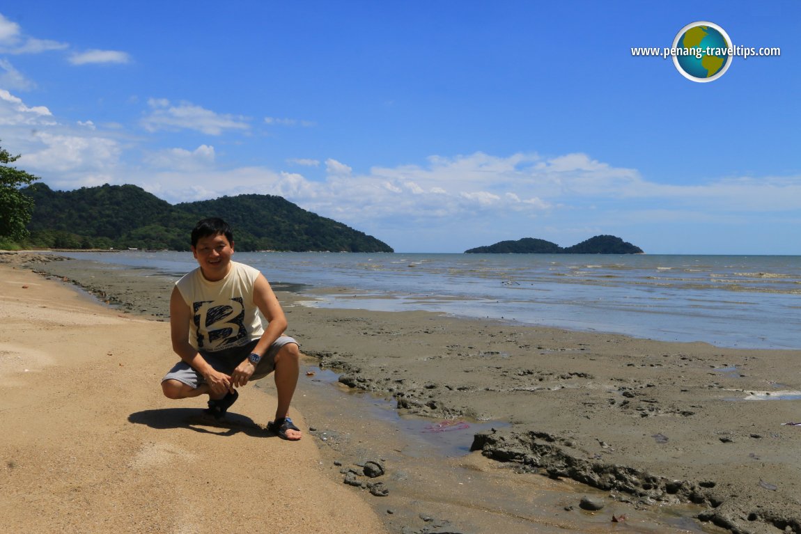
Permatang Damar Laut Coast
The South Reclamation Scheme will create three islands across the southern coast of Penand Island. To understand the geography of the area better, I made a visit to the Permatang Damar Laut coast.Enter
References
- The Star (28 November 2015): Reclaimed land to fund project
- Malay Mail Online (27 November 2015): Southern part of Penang island to be reclaimed to fund Transport Master Plan
Penang Transport Master Plan

Copyright © 2003-2025 Timothy Tye. All Rights Reserved.