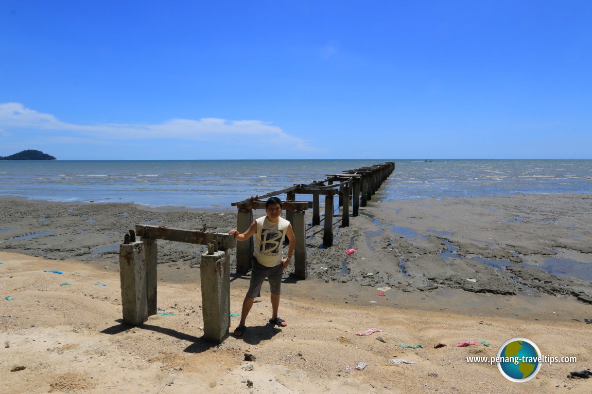
 Permatang Damar Laut Coast (28 February 2016)
The Permatang Damar Laut Coast (GPS: 5.27955, 100.25781) is located on the southeastern corner of Penang Island. The area is dotted with fishing villages, with a fishermen's wharf at the estuary of Sungai Bayan Lepas.
I decided to revisit this area, after a span of many years, to see how it looks like today. This is partly because the State Government is planning the create artificial islands off the Permatang Damar Laut coast. Called the Penang South Reclamation Scheme, the project is expected to charge the appearance of this area forever.
What I found at the Permatang Damar Laut coast is not the prettiest of beaches. Yes, there is a stretch of sandy beach, but the shore itself is muddy, as is the foreshore seabed. There is the remnant of a pier jutting out into the sea. I believe it has been broken for a very long time. Also dotting the stretch are two World War II pillboxes (I shall write about them in a separate article soon).
The mudflats form a thick crust, often even higher than the sandy shore itself. The mud is teeming with mudskippers, the same as it was two decades ago, when I visited this area last. But this time around, I come with cameras, and so could record the view as it is.
The Permatang Damar Laut coastline is not the cleanest I have seen. As this area is inhabited mostly by fishermen, without a single beach hotel in sight, there does not appear a need among the locals to spruce up the beach. Hence you can find a lot of castaway material washing up onto the shore.
The view over here is quite nice. On the horizon, you can see Pulau Rimau on one side, and Pulau Kendi on the other. According to plans revealed by the State Government, the three offshore islands to be created will also have sandy beaches. They probably will be much cleaner than the beach I am on today, which I can only describe as the "backside of Penang Island".
Near the mouth of Sungai Bayan Lepas, the coast is lined with a clump of casuarina trees. I suppose these trees were planted. (Do casuarina trees grow on their own? I do not know.) They sway in the breeze which provides much cooling to the otherwise scorching late afternoon sun. Where the river discharges into the sea, breakers have been erected to prevent erosion of at the river mouth, and also perhaps as a guard against tsunami waves gushing inland. The Malaysia Forestry Department embarked on the replanting of coastal mangrove and suitable species of flora.
There is a grove of ketapang trees near the shore, where it protrudes slight out into the sea. The area is reenforced with rocks. Under the shade of the ketapang trees, I met a group of fishermen on their afternoon siesta. They were friendly people, though I struck them as a bit of a curiosity, as I suppose they don't get visitors in this area often. Beyond that ketapang clump, I can see the fencing for the Penang International Airport. It separates two sides of Permatang Damar Laut, with the Chinese settlement located on the far side.
I did wonder to myself, how the South Reclamation Scheme will affect the livelihood of the fishermen. Granted their are small in numbers. Moreover, according to the government, the reclaimed islands will be located off the shore, so the present coastline will not be changed. With three islands serving as natural barriers, perhaps it will be a positive sign, in terms of checking coastal erosion. Sungai Bayan Lepas will continue to slow as it has always done, into the coast, except that, in future, we will see three man-made islands off the coast.
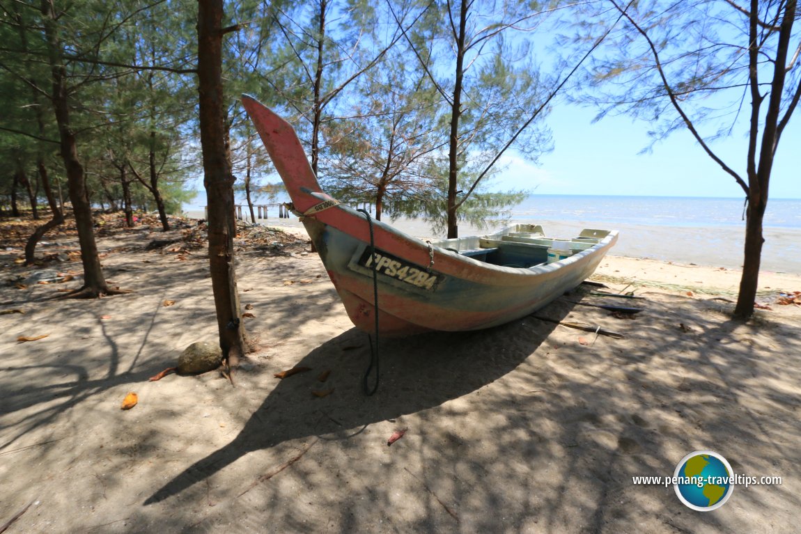 A fishing boat on the beach of the Permatang Damar Laut Coast (28 February 2016)
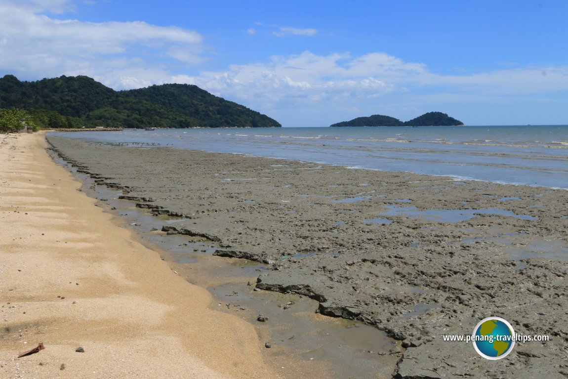 The shoreline of the Permatang Damar Laut Coast is a series of mudflats, home to mudskippers. In the distance is Pulau Rimau. (28 February 2016)
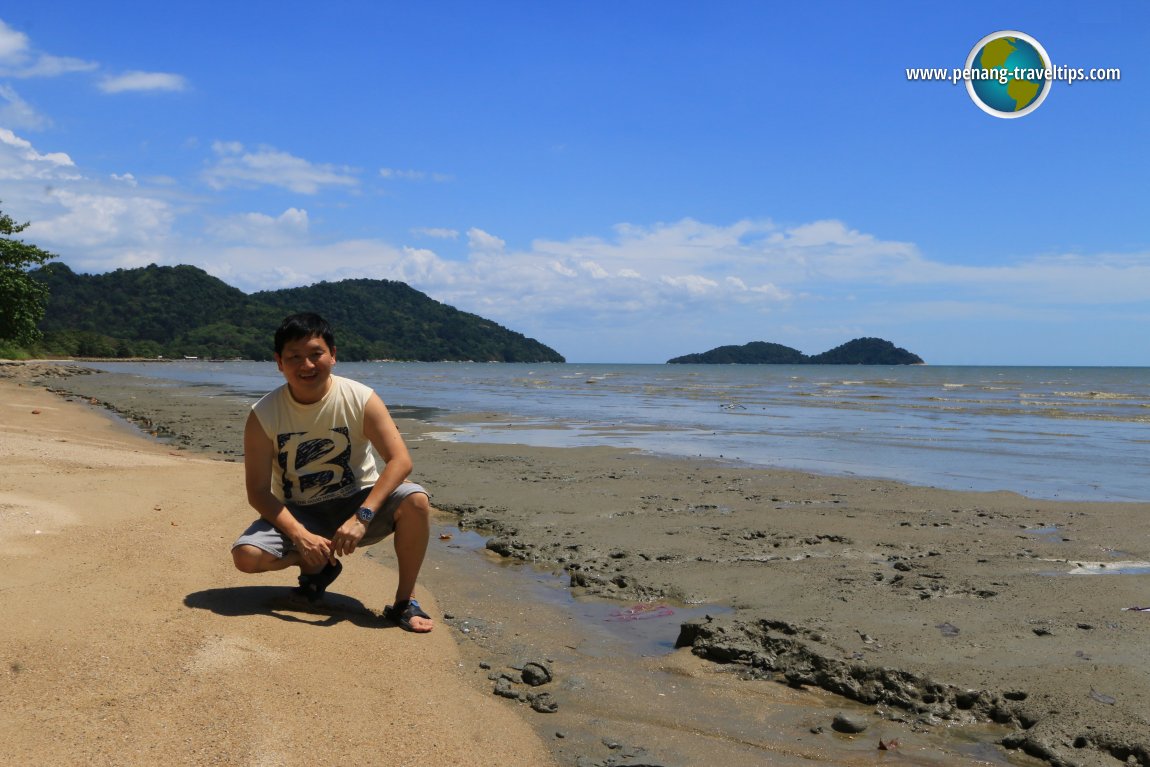 Squatting down for a closer look at the denizens inhabiting the mudflats at Permatang Damar Laut. (28 February 2016)
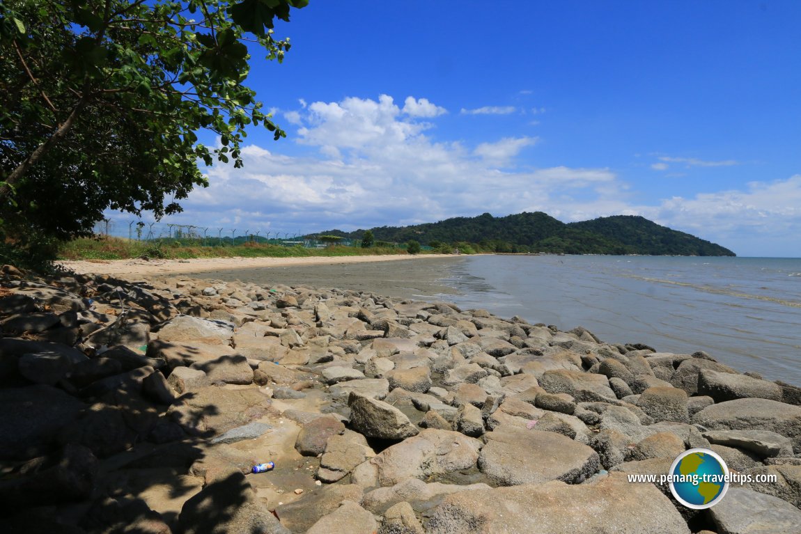 Rocks form breakers to check coastal erosion. On the left is the fencing for the Penang International Airport. (28 February 2016)
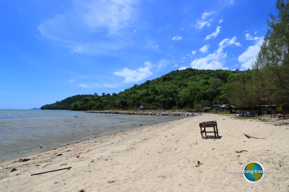 You can find all sorts of discards on the Permatang Damar Laut Coast. In the distance is the promontory separating Permatang Damar Laut from Sungai Batu in Teluk Kumbar. (28 February 2016)
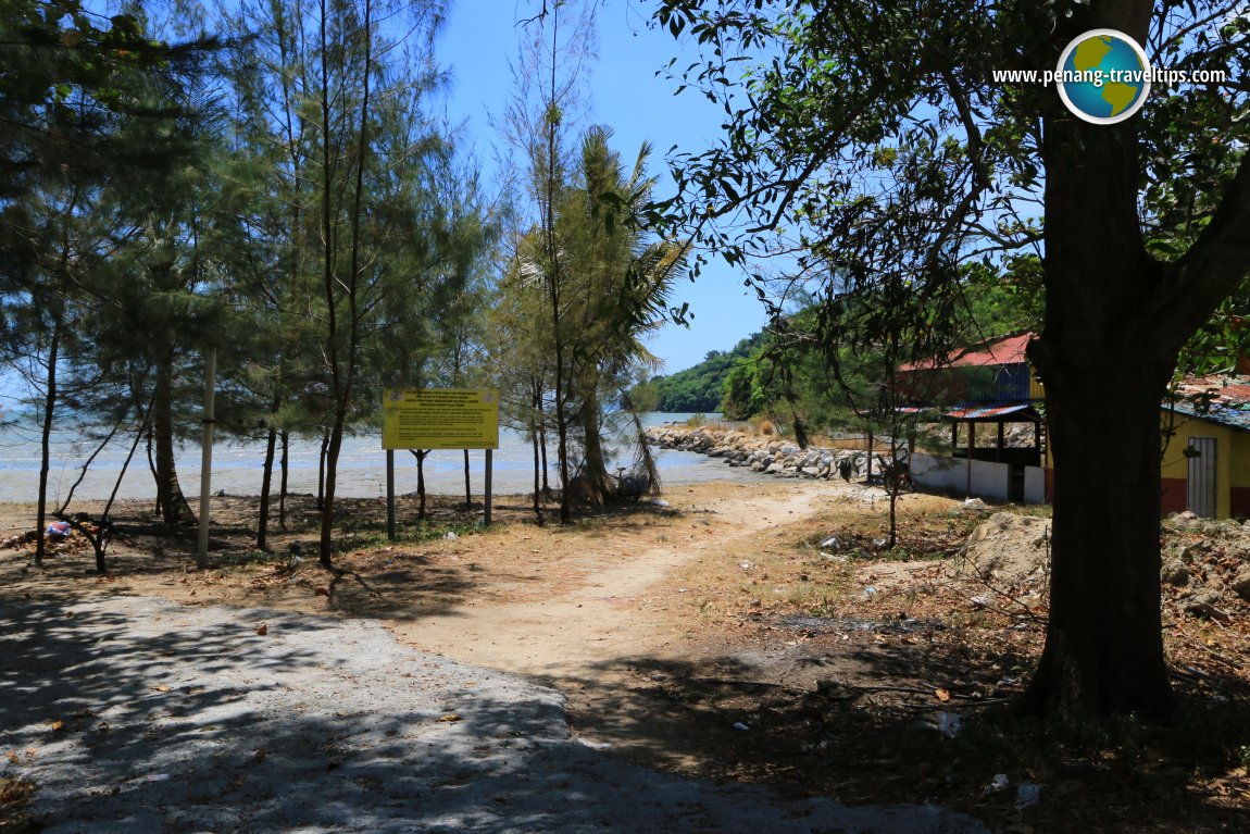 Path towards the Sungai Bayan Lepas river mouth. The signboard mentions the mangrove replanting project. (28 February 2016)
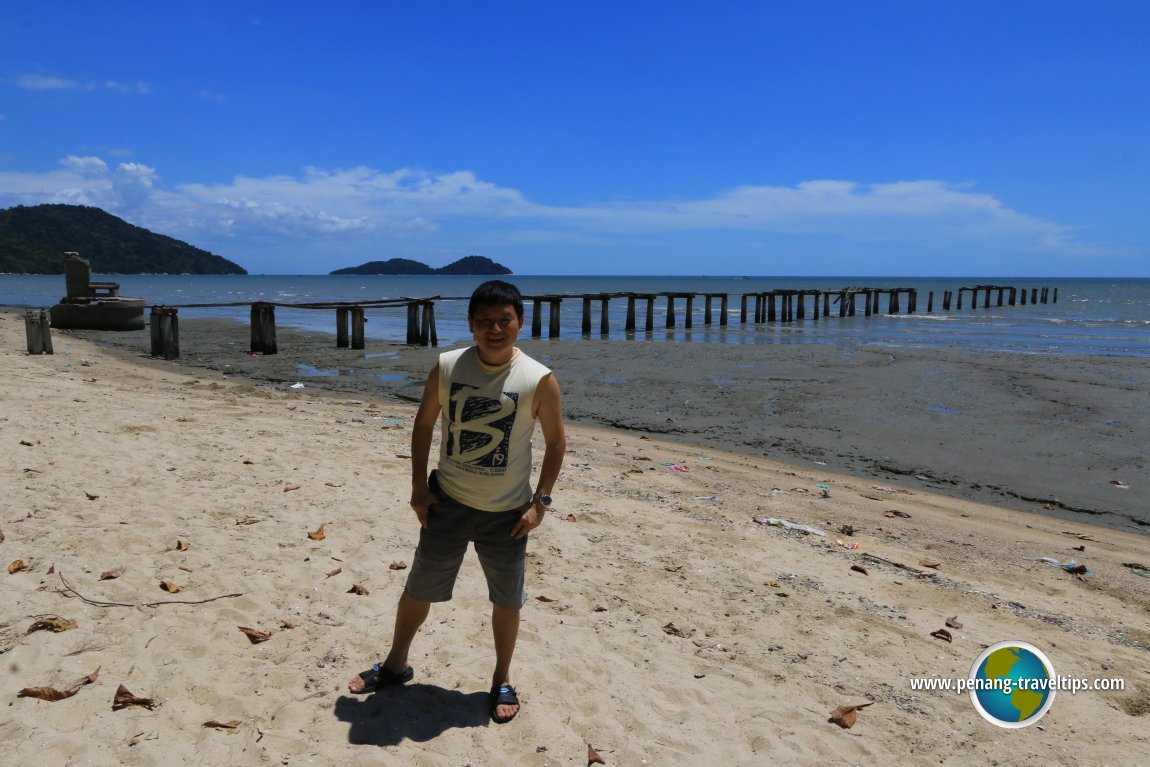 Here I am, on another shot with the broken pier. (28 February 2016)
Permatang Damar Laut Coast is  on the map of Permatang Damar Laut
List of Beaches in Penang and Beaches in Malaysia

Copyright © 2003-2025 Timothy Tye. All Rights Reserved.

 Go Back