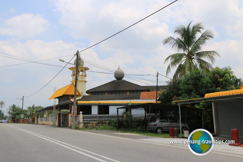
 Permatang Pasir, Seberang Perai Tengah (11 September 2015)
Permatang Pasir (GPS: 5.42, 100.43671) is a village in Seberang Perai Tengah. The area is served by Jalan Sungai Dua, which connects with Jalan Kubang Semang to the south. The name means sand bund, and comes about from the area being associated with paddy planting.
Nowadays Permatang Pasir is slowly feeling the arrival of development, particularly the northern side, towards the town centre of Sungai Dua.
Location of sights in Permatang Pasir on the map
 Sights in Permatang Pasir
- Masjid Permatang Pasir (GPS: 5.41676, 100.43766)

- Sekolah Menengah Kebangsaan Permatang Pasir (GPS: 5.4189, 100.44017)

- Sekolah Kebangsaan Permatang Pasir (GPS: 5.41445, 100.438)

Permatang Pasir on Google Street View
Permatang Pasir is  on the map of Seberang Perai Tengah
List of Towns in Penang and Towns in Malaysia

Copyright © 2003-2025 Timothy Tye. All Rights Reserved.

 Go Back