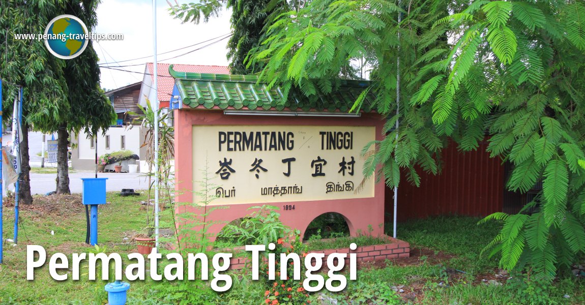
 Permatang Tinggi (22 August 2015)
Permatang Tinggi (GPS: 5.30101, 100.47704) is a place on the southern part of Bukit Mertajam in Seberang Perai Tengah. It is just a small, nondescript rural community with limited development. There is also another Permatang Tinggi in Kepala Batas which I shall describe separately.
The neighbourhood of Permatang Tinggi is within the district of Bukit Mertajam. It is the southernmost part of Bukit Mertajam. The neighbourhood ends at Sungai Junjung, the river separating Seberang Perai Tengah from Seberang Perai Selatan. Across and to the south of that river is Simpang Ampat.
 Map of Permatang Tinggi, Seberang Perai
 Landed Residential Properties in Permatang Tinggi
- Permatang Sanctuary (GPS: 5.30789, 100.48289)

 Sights in Permatang Tinggi
- Chapel of St Mary Magdalene (GPS: 5.30175, 100.47742)

- Chi Pei Niang Niang Temple (GPS: 5.2973, 100.48349)

- Church of the Holy Name of Mary (GPS: 5.29458, 100.47979)

- Hock Teik Chi Temple (GPS: 5.30157, 100.47748)

- Masjid Tuan Haji Mohd Desa (GPS: 5.32722, 100.44732)

Places in Permatang Tinggi
- Kampung Permatang Tinggi
- Kawasan Perindustrian Ringan Permatang Tinggi
- Taman Permatang Tinggi Indah
Streets in Permatang Tinggi
 A road in Permatang Tinggi (22 August 2015)
Getting there
You can reach Permatang Tinggi by exiting the North-South Expressway at Exit 158 (Bukit Tambun Interchange) and then take Federal Route 1 southwards, or Exit 160 (Juru Interchange) and then going northwards on Federal Route 1.Permatang Tinggi is  on the Map of Jalan Kedah, Seberang Perai
Permatang Tinggi is  on the Map of Seberang Perai
List of Towns in Penang and Towns in Malaysia

Copyright © 2003-2025 Timothy Tye. All Rights Reserved.

 Go Back