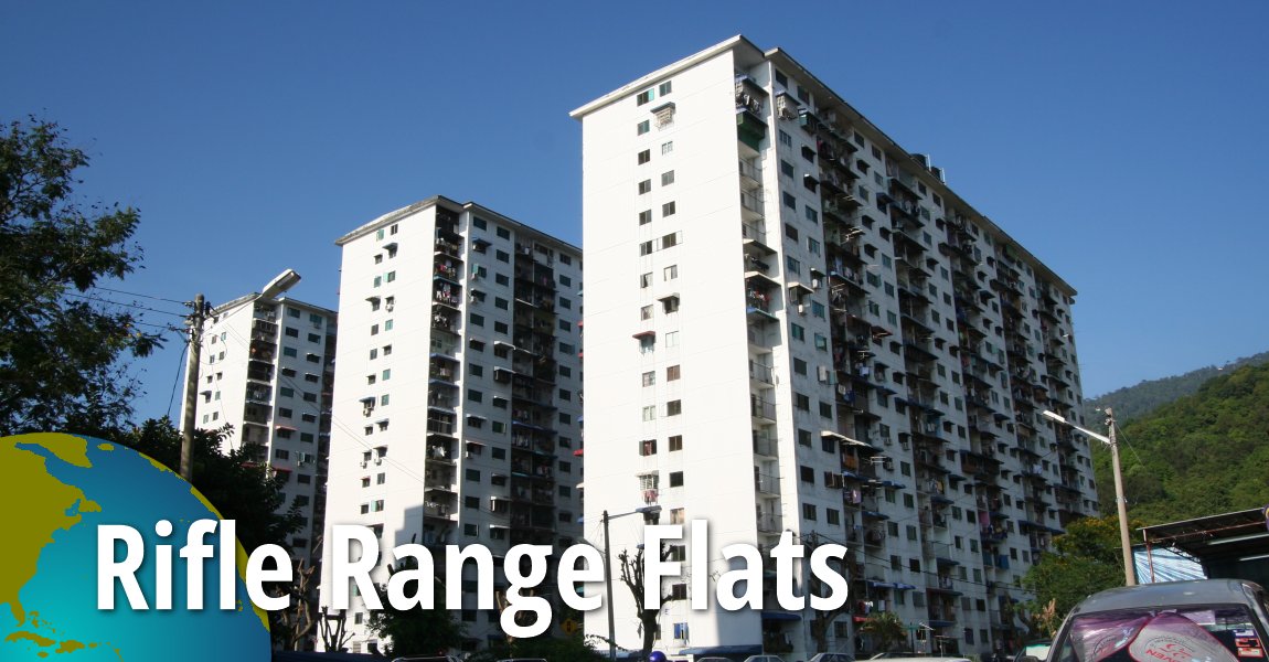
Rifle Range Flats
 Go Back | PENANG Sights & Streets | Hokkien | Dictionary | Real Estate | SojiMart | Facebook | Contact Me | About Me
 Rifle Range Flats, Air Itam, Penang (7 December 2009)
Hok1kien3
Rifle Range Flats (GPS: 5.41114, 100.28939) are one of the Penang state government's earliest low-cost housing projects. It is located at the junction of Jalan Padang Tembak with Boundary Road (some times translated as Jalan Sempadan). It is known as Phak1 Cheng1 Por1
 in Hokkien, a direct translation of "rifle range". The name hails back to the 1950's, when the place was used for target practices. At that time, it was at the edge of town, next to the Batu Gantong Cemetery, which was also regarded as "rural countryside".
The transformation of the area from a rifle range to a low-cost residential neighbourhood began in 1968. When Rifle Range Flats - comprising nine blocks with heights of 17 and 18 storeys - were completed in the early 1970's, they were the tallest buildings in Penang. None of the units were big - they were almost like pigeon holes. Nonetheless they provided housing for many hardcore poor. Over the years, however, the general condition of Rifle Range Flats deteriorated rapidly. Eventually they were in Penang synonymous with squalor.
Perhaps the advantage of living in Rifle Range is that it is relatively close to town - just a little over 5 km from Komtar, the property is cheap, and if you are a single person living alone, the space is sufficient. However, for most people who live here, it is a mere temporary abode until they can afford to live elsewhere.
Today, Rifle Range and the Batu Gantong Cemetery next to it are right at the edge of town. It is only due to the hills hemming the way that prevents further development taking shape here.
Configuration of Rifle Range Flats
Rifle Range Flats proper comprises nine blocks, A, B, C, D, E, F, G, H and J. Westernmost are Blocks A and B, while Blocks C, D and E are located on the west side of Boundary Road. Blocks F, G and H are on the south side of Rifle Range Road and east side of Boundary Road. Finally, Block J is to the east of Block H, south of Sekolah Kebangsaan Padang Tembak, and west of the Rifle Range Market.Facilities at Rifle Range Flats
No other facilities except lift. Car parks are grossly insufficient.Public Transport at Rifle Range Flats
Rapid Penang Bus 201, 202, 204 and 206 pass through Jalan Padang Tembak and Jalan Boundary.Amenities in Rifle Range Flats
The nearest school is Sekolah Kebangsaan Padang Tembak. The nearest market is the Rifle Range Market. The nearest hypermarket is Sunshine Farlim. The nearest petrol stations are the BHP before Jalan Boundary, Shell after Jalan Boundary, and Mobil near Jalan La Salle. The nearest hospital is Lam Wah Ee Hospital.Updates on Rifle Range Flats
7 December, 2013: According to reader Kow Moy, writing to The Star, the Rifle Range Flats were the initiative of the late Tan Sri Wong Pow Nee, and that the flats were already completed when Gerakan came into power in 1969.Traffic situation in Rifle Range Flats
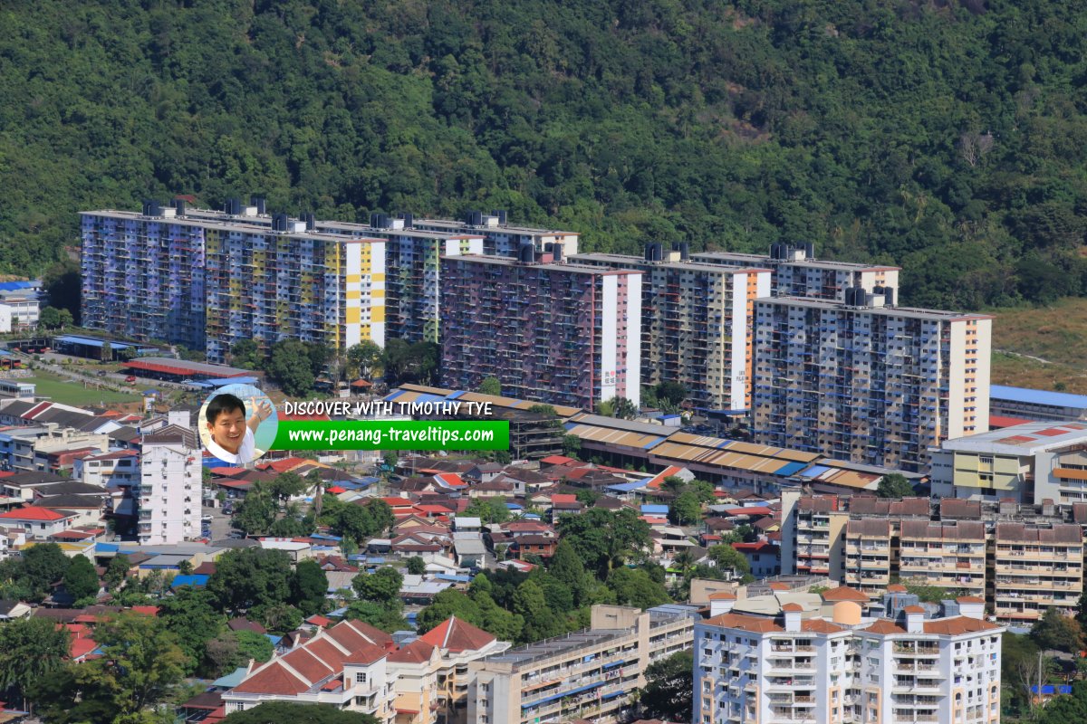
Rifle Range is horrendously overcrowded. Traffic often comes to a crawl on the approach to the junction (or rather, cornering) between Jalan Padang Tembak and Jalan Boundary. Aerial view of Rifle Range Flats (10 December 2020)
 Rifle Range Flats, as seen from Taman Seri Air Itam (7 January 2018)
 Rifle Range Flats (8 December 2009)
 Rifle Range Flats, Ayer Itam, Penang (1 January 2014)
Rifle Range Flats are  on the Map of Jalan Padang Tembak
Other Versions
Read also Rifle Range Flats in Penang Hokkien.List of Flats in Penang and Flats in Malaysia

Copyright © 2003-2025 Timothy Tye. All Rights Reserved.