 Rivers in Penang (14 February 2022)
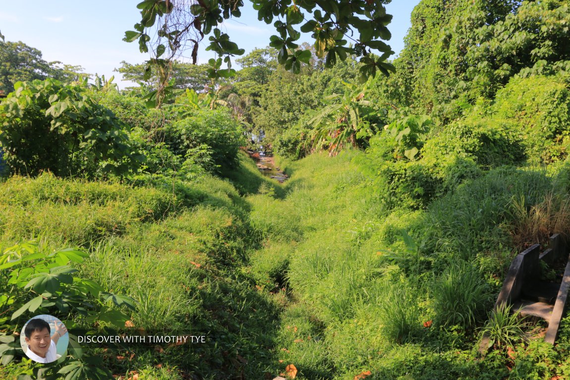
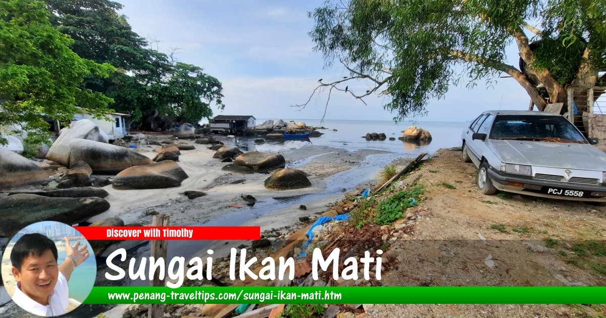
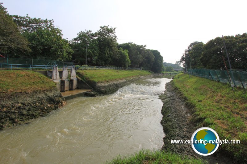
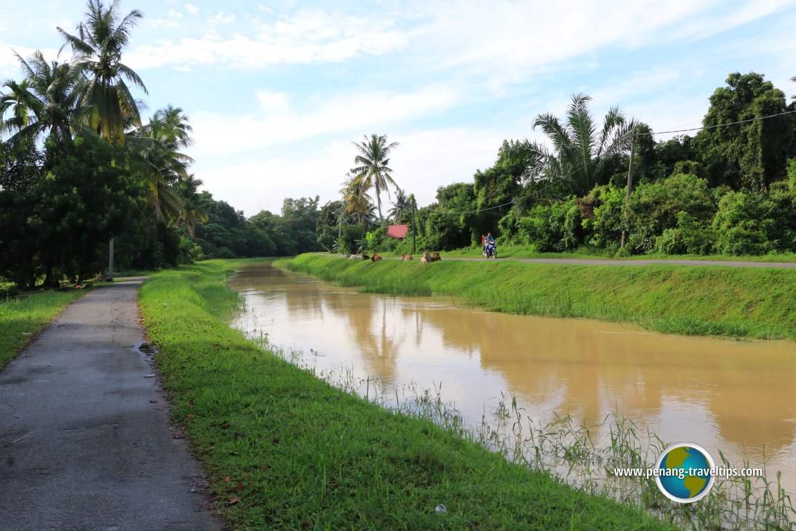
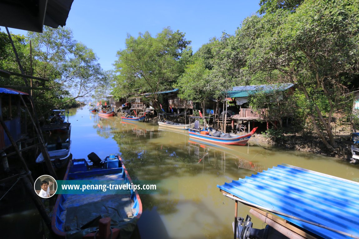
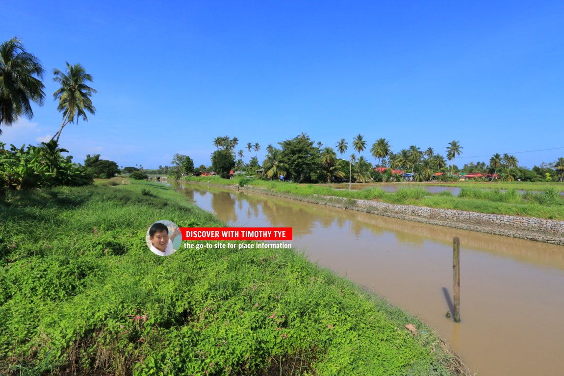
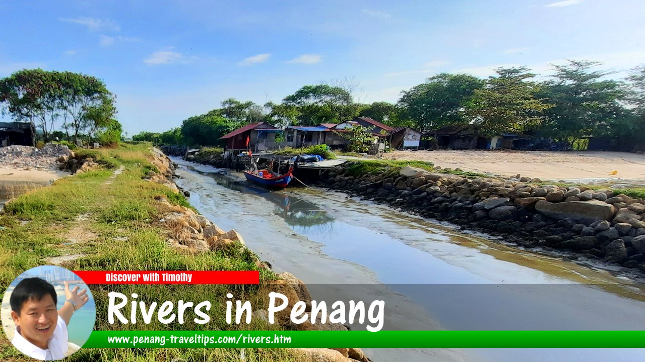
Rivers and other waterways once form a vital form of transportation in Penang. Being an island surrounded by the sea, Penang has a number of rivers which, though short and small, played an important role in the survival of early settlements on the island. Imagine a time when there was no pipe water. In addition to being a mode of transport, rivers provided a ready source of fresh water without the need to dig wells. They are also a source of fish and shellfish.
Among the rivers on the island, two bear the name Sungai Pinang. One flows down the east coast into the South Channel, while another flows west, emptying into the Straits of Malacca. The "eastern" Sungai Pinang is perhaps the most important river in Penang. It was along this river that some of the earliest settlements on the island was establishe, some of which predating the arrival of Francis Light. Deeper then than it is today, Sungai Pinang could once be navigated at far as Suffolk House and beyond, and was very likely used to transport building material for its construction.
which today lend their names to places on the island as well as in the mainland, among them Sungai Nibong, Sungai Ara and so on. Even place names such as Prai and Juru are derived from rivers.
There are two rivers bearing the name Sungai Pinang on Penang Island, one flowing down the east coast while the other in the west coast. There are also two river called Sungai Dua (whose name means "second river"), one on the island and the other on the mainland.
The city of George Town used to be laced with canals. Before motor vehicles became the norm, the townspeople relied on perahus and sampans. These are cheaper than bullock carts - they never require feeding. Canals are the arteries that allowed produce to be transported from farms to markets, the most important of which developed into Sia Boey.
There were two main canals in George Town. One started at the north coast while the other at the south. They meet at a location near where Masjid Titi Papan (whose name means "plank bridge mosque") is located. The mosque itself was named after the bridge across the canal. Together, they created an island out of George Town.
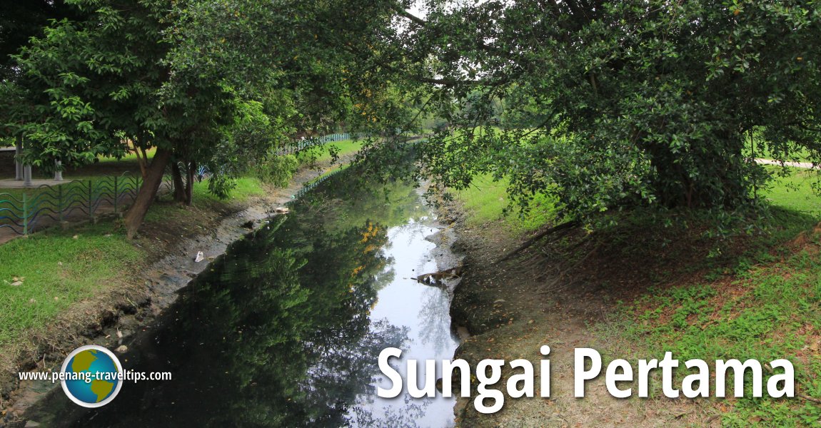
The southern canal was created out of a river through the mangrove, which was filled up and turned into farmland. Parts of it is still visible today. We call it Prangin Canal. The northern canal is largely obscure today, except for a small section before it reaches the sea. Its course is traced by Transfer Road, which was created when canal gave way to land transport. You can learn more in the Forgotten Canals of George Town. Many of George Town's canals have been filled up or paved over, so it is not surprising that many people in Penang do not know they existed.
As with the canals, many of the rivers in Penang have been obscured by development. Many have been canalised and covered, and many of us do not where where these rivers once flow. Yet they live on in the names of places all over Penang, from obvious ones such as Sungai Nibong and Sungai Ara, and the less obvious ones such as Prai and Juru.
On this page, we celebrate the rivers of Penang, visiting them and appreciating them for their role in the state's development.
Sungai Pinang (West)
DetailsList of Rivers in Malaysia

Copyright © 2003-2025 Timothy Tye. All Rights Reserved.

 Go Back