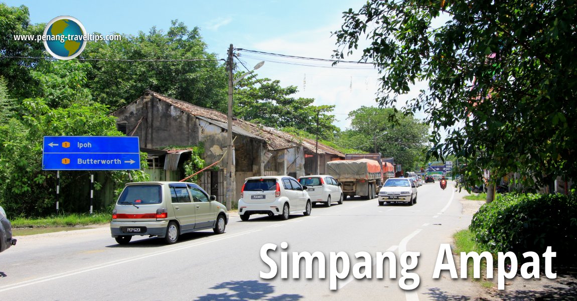
 Simpang Ampat (22 August 2015)
Simpang Ampat (GPS: 5.28224, 100.47683), (Traditional/Simplified Chinese: 新邦安拔; Pinyin: Xīnbāng Ānbá) is a town and subdistrict within the district of Seberang Perai Selatan, in Seberang Perai. It is located between the subdistricts of Bukit Mertajam and Sungai Bakap. The area includes Bukit Tambun in the west. Permatang Tinggi which is within Bukit Mertajam, is to the immediate north of Simpang Ampat. The townships and housing estates in Simpang Ampat are contiguous to Permatang Tinggi and Sungai Bakap, though as far as administration is concerned, Sungai Junjong forms the geographical demarkation separating Seberang Perai Tengah from Seberang Perai Selatan. Across from Simpang Ampat is the Bukit Mertajam neighbourhood of Permatang Tinggi.
According to the demarcation on Google Maps, Simpang Ampat proper encompasses the entire area from Juru all the way until Valdor, and includes Batu Kawan, Permatang Tinggi, Bukit Minyak, Bukit Tambun, and smaller villages within the area.
Traditionally the main road through Simpang Ampat is Federal Route 1. The town centre, or pekan, is located on that road, known simply as Jalan Besar or Simpang Ampat Main Road, between the junctions of Jalan Tasek (state route P124) to the north and Jalan Bukit Tambun (state route P172) to the south.
The newer part of Simpang Ampat was developed to the east, such as Bandar Tasek Mutiara, and the smaller housing estates to the southwest of the old town. Since 2005, parcels of land in Simpang Ampat have been developed into new housing estate, to cater to the housing needs of Penang's growing population.
Location of Simpang Ampat
Measured at the intersection of Jalan Simpang Ampat (Route 1) with Jalan Bukit Tambun and Jalan Tasek Mutiara 2 (GPS: 5.281703, 100.476574), Simpang Ampat is 21.1 km to Penang Sentral, 17.1 km to the Penang Bridge, 13.9 km to the Second Penang Bridge and 34.9 km to the Penang International Airport. Map of Simpang Ampat
Apartments and Condominiums in Simpang Ampat
- Avenue Garden (GPS: 5.28043, 100.49149)

- Eco Bloom (GPS: 5.25867, 100.46839)

- Palm Garden (GPS: 5.27872, 100.49143)

- Pangsapuri Lembah Indah (GPS: 5.29015, 100.45767)

- Royale Infinity (GPS: 5.29015, 100.45767)

 Housing Estates in Simpang Ampat
- Bandar Tasek Mutiara (GPS: 5.27775, 100.48757)

- Begonia Villa (GPS: 5.27229, 100.50249)

- Eco Meadows (GPS: 5.26136, 100.46647)

- Raintree Park (GPS: 5.27173, 100.49889)

- Residensi Villa Mutiara (GPS: 5.26571, 100.49793)

- Taman Merpati Indah (GPS: 5.2683, 100.45175)

- Villa Mutiara (GPS: 5.26965, 100.49248)

- Villa Mutiara Indah (GPS: 5.26812, 100.49437)

Commercial properties in Simpang Ampat
- Iconic Point (GPS: 5.28357, 100.47631)

- Pearl City Mall (GPS: 5.277, 100.49094)

 Markets in Simpang Ampat
- Pasar Awam Tambun Indah (GPS: 5.27751, 100.46597)

- Pasar Awam Bandar Tasek Mutiara (GPS: 5.28347, 100.48069)

- Pasar Awam Seri Delima (GPS: 5.31802, 100.43558)

 Petrol Stations in Simpang Ampat
- Caltex Jalan Bukit Tambun (GPS: 5.281419, 100.476230)

- Caltex Jalan Tasek (GPS: 5.2848, 100.4862)

- Caltex Simpang Ampat 1 (GPS: 5.281419, 100.476230)

- Petronas Simpang Ampat 1 (GPS: 5.281419, 100.476230)

- Petronas Simpang Ampat 2 (GPS: 5.26303, 100.47383)

- Shell Simpang Ampat 1 (GPS: 5.289497, 100.478629)

- Shell Simpang Ampat 2 (GPS: 5.2739, 100.47654)

 Schools in Simpang Ampat
- GEMS International School Pearl City (GPS: 5.278657, 100.489955)

- Sekolah Jenis Kebangsaan (Cina) Boon Beng (GPS: 5.2743, 100.48741)

- Sekolah Jenis Kebangsaan (Cina) Keng Koon (GPS: 5.2743, 100.48741)

- Sekolah Jenis Kebangsaan (Tamil) Tasik Permai (GPS: 5.28056, 100.50407)

- Sekolah Kebangsaan Bandar Tasek Mutiara (GPS: 5.27508, 100.4999)

- Sekolah Kebangsaan Taman Merak (GPS: 5.264289, 100.465410)

- Sekolah Menengah Kebangsaan Bandar Tasek Mutiara (GPS: 5.27501, 100.49847)

- Sekolah Menengah Kebangsaan Simpang Ampat (GPS: 5.27886, 100.47655)

- SMK Mutiara Impian (GPS: 5.274414, 100.477727)

Hospitals and public clinics in Simpang Ampat
- Klinik Kesihatan Bandar Tasik Mutiara (GPS: 5.28139, 100.49196)

 Hotels in Simpang Ampat
- JV Hotel (GPS: 5.292412, 100.478747)

Places of Interest in Simpang Ampat
- Mountain View Golf Resort (GPS: 5.26066, 100.51001)

What food to have at Simpang Ampat
- Coffee at Kopitiam Kheng Hai, 32, Jalan Tasek, Taman Tasek Indah, 14120 Simpang Ampat, Phone: +60 11-2711 7949, recommended by Eugina HoayLing on 25 August, 2019
Food outlets in Simpang Ampat
- Medan Selera Simpang Ampat (GPS: 5.263634, 100.474256)

Public transport stations in Simpang Ampat
- Simpang Ampat Railway Station (GPS" 5.28602, 100.48098)

Public Amenities in Simpang Ampat
- Simpang Ampat Police Station (GPS: 5.285294, 100.476763)
- Simpang Ampat Post Office (GPS: 5.263421, 100.474477)
Places of worship in Simpang Ampat
- Arulmigu Devi Sri Vanadurgai Amman Temple (GPS: 5.27499, 100.47147)

- Qi Sheng Niang Miao Temple (GPS: 5.26446, 100.46482)

 Businesses in Simpang Ampat
- Hai Kang Steel Sdn Bhd (Wolesales distribution of Wall, Celling Accessories, Furring Channel, Metal Door Frame, Metal Window Frame.), No. 434, Jalan IKS Simpang Ampat, Tasek, Simpang Ampat, 14120 Pulau Pinang; Opened Mon-Friday 9am-6pm, Sat 9am-1pm (Closed Sun & Public Holiday); Website
- NV Total Funeral Services (GPS: 5.30087, 100.47942)

- Sweet Home BM Enterprise (GPS: 5.2882, 100.4782)

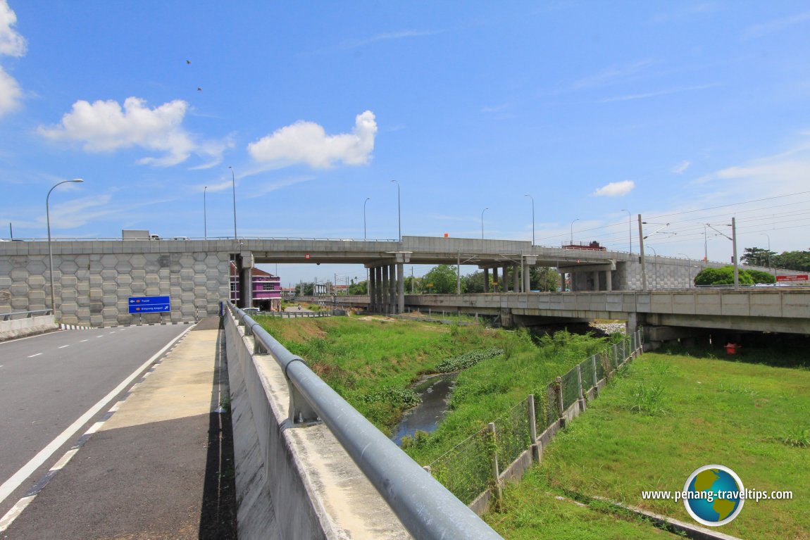
 The flyover over the electrified railway line at Simpang Ampat (22 August 2005)
 Housing estates in Simpang Ampat
- Taman Belibis
- Taman Cegar
- Taman Enggang Indah
- Taman Idaman
- Taman Intan Cempaka
- Taman Jentayu
- Taman Kasawari
- Taman Keruing
- Taman Mas
- Taman Merak
- Taman Murai Jaya
- Taman Tambun Indah
- Taman Tambun Jaya
- Taman Tempua
- Taman Tiong Mas
Townships in Simpang Ampat
Villages in Simpang Ampat
Getting there
Exit the North-South Expressway at Exit 158 (Bukit Tambun Interchange) and then take Jalan Bukit Tambun (state route P172) east to reach Pekan Simpang Ampat.Simpang Ampat is  on the Map of Seberang Perai
More on Penang Mainland; List of Towns in Penang and Towns in Malaysia

Copyright © 2003-2025 Timothy Tye. All Rights Reserved.

 Go Back