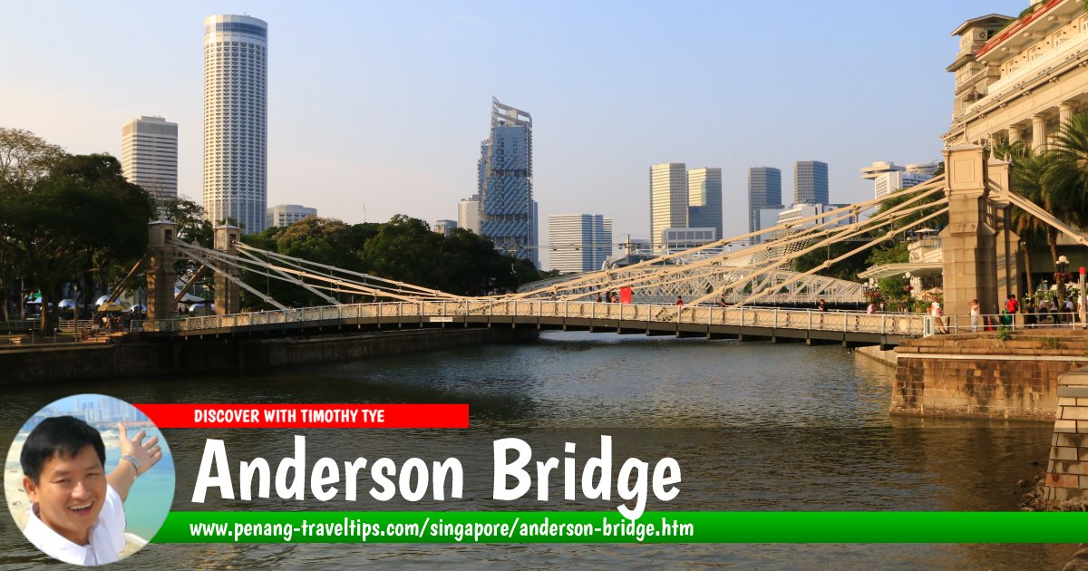
 Anderson Bridge, Singapore (28 July 2017)
Anderson Bridge (GPS: 1.28731, 103.85298) is a bridge for vehicles across mouth of the Singapore River. Named after Sir John Anderson, the Governor of the Straits Settlement from 1904 to 1911, it links the Civic District of Singapore with the Financial District. Aside from Anderson Bridge, Anderson Road was also named after him. Anderson Bridge was built in 1910 to take some load off the older Cavenagh Bridge. It comprises three steel arches with supporting steel ribs and piers on each end.
Anderson Bridge allows to lanes of traffic as well as sidelanes for pedestrians. During the Japanese Occupation, severed heads of criminals were hung on Anderson Bridge as warning against anybody from breaking the law. With the continual increase in traffic volume, Anderson Bridge was eventually supported by the new Esplanade Bridge which was built in the 1990s.
Taking the MRT top the Anderson Bridge
Take the North-South Line or East-West Line to the Raffles Place MRT Station (EW14/NS26).Anderson Bridge on Google Maps Street View (Mar 2015)
Anderson Bridge is  on the Map of Fullerton Road, Singapore
Anderson Bridge is  on the Map of Marina Bay, Singapore
Anderson Bridge is  on the Map of Bridges in Singapore
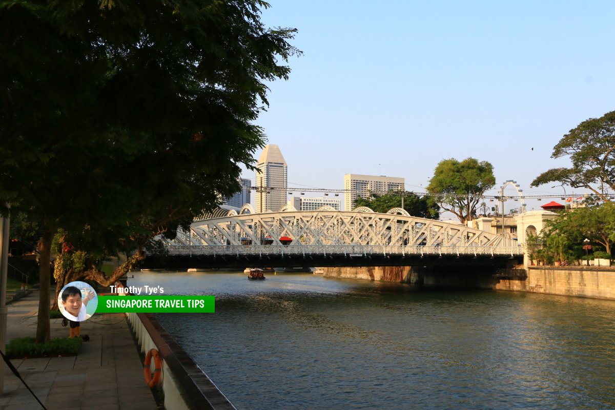 Anderson Bridge, Singapore (28 July 2017)
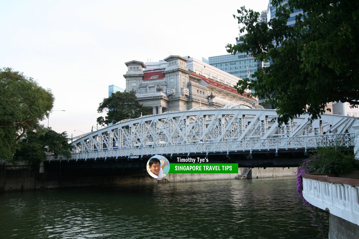 Anderson Bridge, Singapore (12 September, 2010)
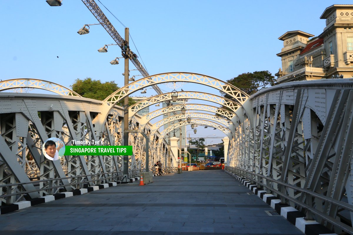 The steel ribs of the Anderson Bridge (28 July 2017)
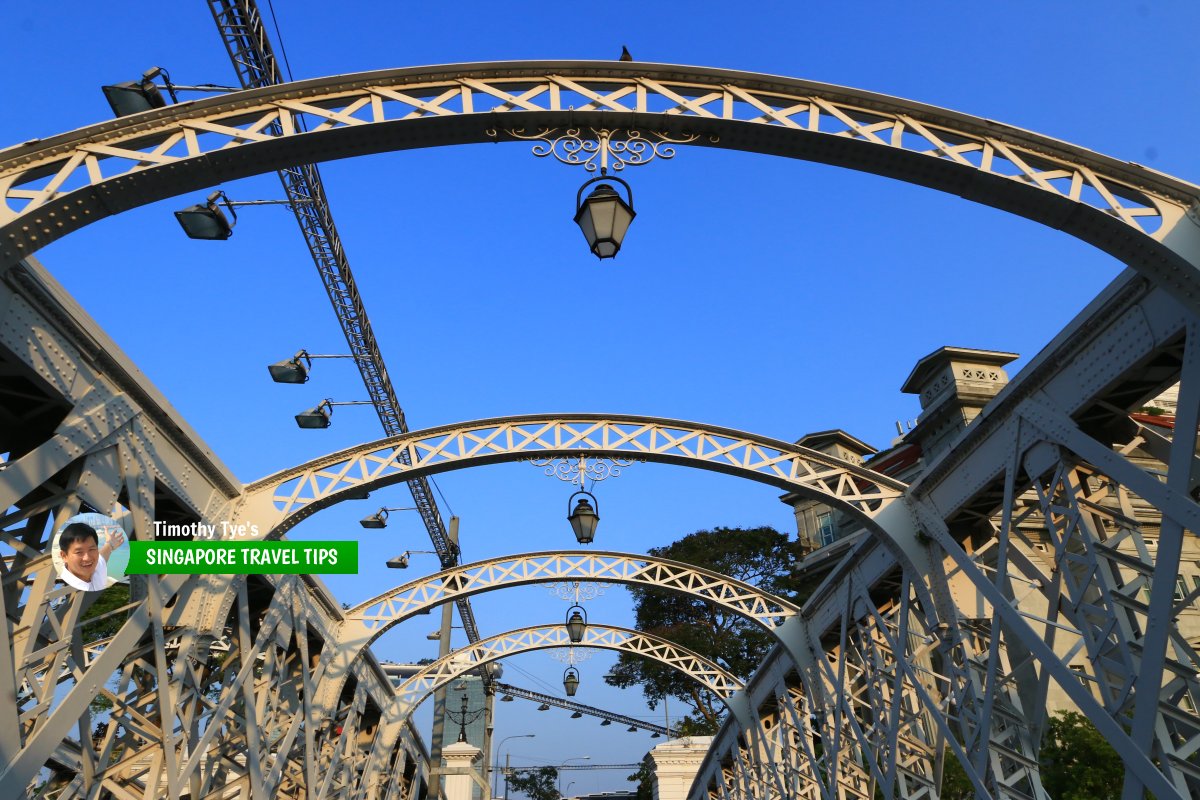 Ornamental lanterns on the arches of Anderson Bridge (28 July 2017)
List of the Bridges in Singapore; Discover Singapore
 Copyright © 2003-2025 Timothy Tye. All Rights Reserved.
Copyright © 2003-2025 Timothy Tye. All Rights Reserved.

 Go Back