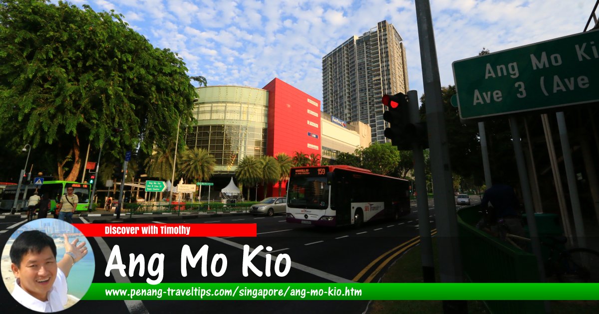
 Ang Mo Kio, Singapore (9 July 2006)
Ang Mo Kio (GPS: 1.36911, 103.84543,
 ) is a township (or "planning area" in local nomenclature) in central Singapore. The town centre is located at Ang Mo Kio Neighbourhood 7.
Ang Mo Kio is located in Singapore Postal District 20.
The name Ang Mo Kio first appeared in the 1849 Thomson Report on agriculture in Singapore. There are speculations as to how the place got its name. The common belief is that Ang Mo Mio, which translates as "White Man's Bridge" refers to a particular structure in the area. Many locals actually believed that this refers to a disused bridge near the intersection of Ang Mo Kio Avenue 1 and Upper Thomson Road.
Some scholars believe that Ang Mo Kio refers not to White Man ("ang mo" in Hokkien), but rather is a contraction to the word Rambutan ("ang mo tan" in Hokkien) with "kio" (bridge) added to it. This is disputed by many locals and historians, who pointed out that name was given in reference to John Turnbull Thomson, the British surveyor and civil engineer who was responsible for building a bridge there. The local name Ang Mo Kio refers to Mr Thomson, whose name also appears on the roads and in the neighbouring district of Thomson. Interestingly, "ang mor kio" may also mean "tomato" in the Hokkien language.
Ang Mo Kio can be divided into 12 neighbourhods (called "subzones") namely Ang Mo Kio Town Centre, Cheng San, Chong Boon, Kebun Bahru, Sembawang Hills, Shangri-La, Tagore, Townsville, Yio Chu Kang, Yio Chu Kang East, Yio Chu Kang North and Yio Chu Kang West.
This is the most popular reference to the name and is generally accepted by most local historians. In any case, nowadays the name Ang Mo Kio has been gentrified in Chinese - the term "ang mo" (white man) seems derogatory to Westerners, so nowadays a different set of Chinese characters is used to write Ang Mo. Rather than meaning "white man" (literally "red hair"), the present writing of "ang mo" means "expansiveness and prosperous". And finally, the word "ang3mor3kio2"
 can also mean "tomato" in Hokkien.)
Map of Ang Mo Kio, Singapore
MRT Stations in Ang Mo Kio
- Ang Mo Kio MRT Station (GPS: 1.37004, 103.84952)

- Lentor MRT Station (GPS: 1.38461, 103.83655)

- Mayflower MRT Station (GPS: 1.37147, 103.83669)

- Yio Chu Kang MRT Station (GPS: 1.38197, 103.84491)

- Teck Ghee MRT Station (GPS: 1.36579, 103.84331)

Sights in Ang Mo Kio
- Ang Mo Kio Joint Temple (GPS: 1.36633, 103.83885)

- Ang Mo Kio Town Garden East (GPS: 1.37074, 103.85039)

- Bethesda Hall (GPS: 1.37475, 103.83735)

- Church of Christ the King (GPS: 1.3619, 103.85241)

- Kebun Baru Food Centre (GPS: 1.36718, 103.84002)

- Teck Ghee Court Food Centre (GPS: 1.36412, 103.84823)

What to eat in Ang Mo Kio
- Shredded Chicken Wanton Noodles at 527 Ang Mo Kio Ave 10, Cheng San Market & Cooked Food Centre, Singapore 560527 (GPS: 1.373086, 103.854777), recommended by Ben Teo Hwee Beng on 27 August, 2018
Amenities in Ang Mo Kio
Schools in Ang Mo Kio includes Anderson Primary School, Ang Mo Kio Primary School, Da Qiao Primary School, Jing Shan Primary School, Mayflower Primary School, Teck Ghee Primary School, Townsville Primary School, Anderson Secondary School, Ang Mo Kio Secondary School, CHIJ Saint Nicholas Girls' School, Chong Boon Secondary School, Deyl Secondary School, Mayflower Secondary School, Presbyterian High School, Yio Chu Kang Secondary School, Pierce Secondary School, Anderson Junior College, ITE College West and Nanyang Polytechnic.Places of worship in Ang Mo Kio includes Liuxun Sahemiao Temple, Swee Kow Kuan Temple, Chu Sheng Temple, Bethesda Hall Ang Mo Kio, and Chin Leng Keng Chinese Temple.
Getting there
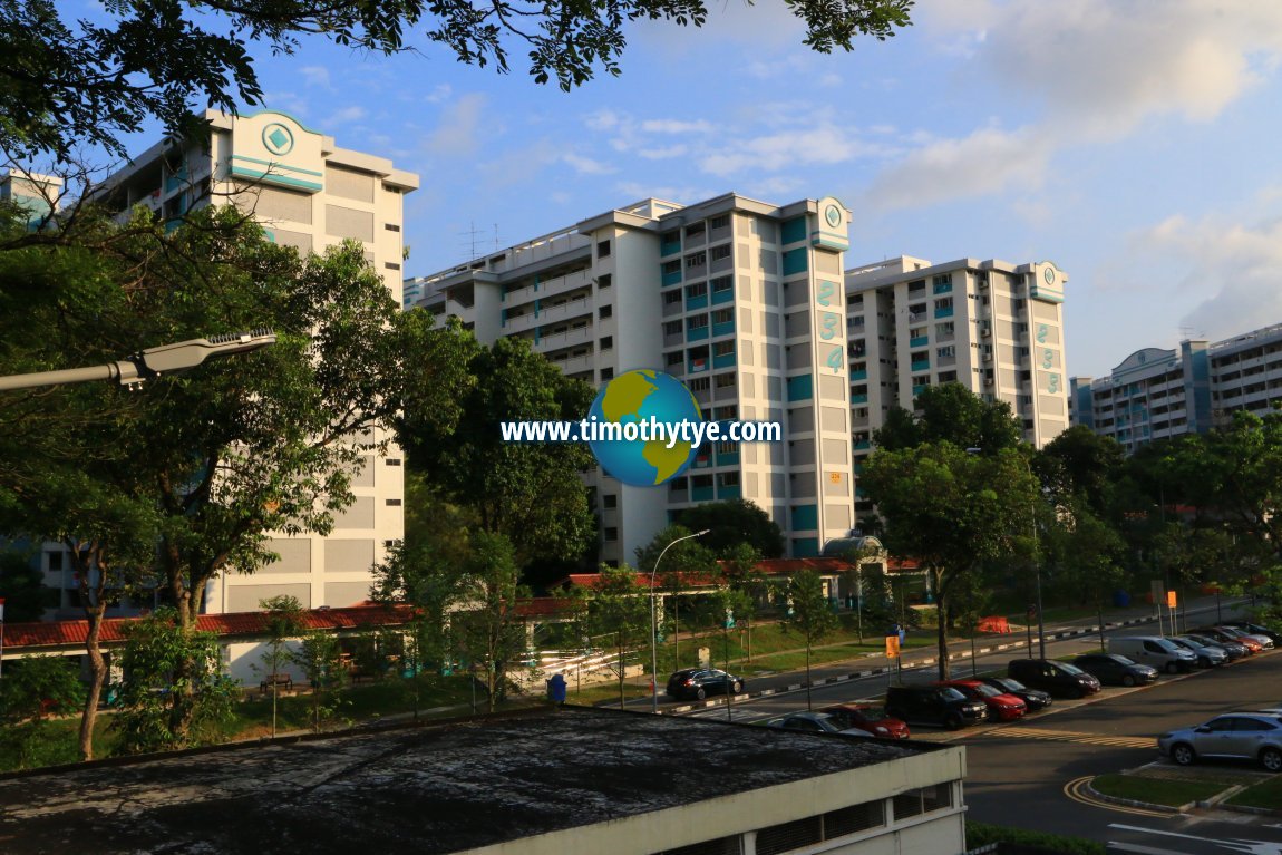
Nearest MRT station is the Ang Mo Kio MRT Station (NS16) on the North-South Line. Blocks 233, 234 and 235 HDB Ang Mo Kio. (9 July 2006)
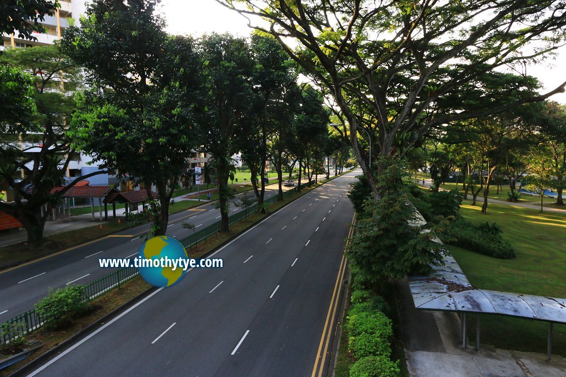
 Ang Mo Kio Avenue 1, one of the main roads in Ang Mo Kio. (9 July 2006)
List of Planning Areas in Singapore and Places in Singapore; Discover Singapore
 Copyright © 2003-2025 Timothy Tye. All Rights Reserved.
Copyright © 2003-2025 Timothy Tye. All Rights Reserved.

 Go Back