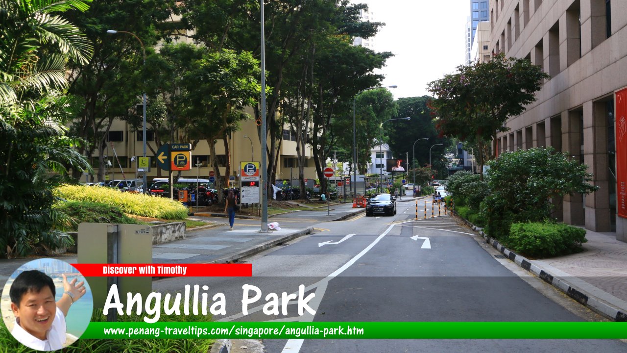
 Angullia Park, Singapore (2 August 2017)
Angullia Park is a minor road in downtown Singapore. It comprises two separate segments. The northern segment is between Orchard Road and Orchard Boulevard, while the southern segment is between Orchard Boulevard and Jalan Tupai. It is not possible to drive from one segment to the other.
According to Singapore Street Names1, Angullia Park was named after Ahmad Mohamed Salleh Angullia (1875-1939), a prominent local-born Indian Muslim merchant and landowner. He owned the land where Angullia Park was built. There was also once an Angullia Road but it has since been expunged.
Map of Angullia Park, Singapore
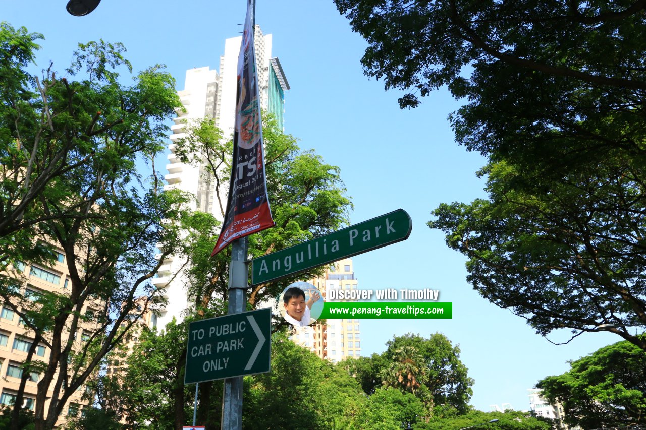
 Angullia Park, Singapore (2 August 2017)
Sights along Angullia Park
- Far East Shopping Centre (GPS: 1.30562, 103.83015)

- Hermès Singapore Liat Towers (GPS: 1.30531, 103.83066)

- Orchard View (GPS: 1.30261, 103.82922)

- Skyline @ Orchard Boulevard (GPS: 1.30318, 103.82957)

- TwentyOne Angullia Park (GPS: 1.3038, 103.82985)

- Wheelock Place (GPS: 1.30474, 103.83052)

Angullia Park Singapore on Google Street View
Angullia Park Singapore (Mar 2024)References
- Singapore Street Names - A Study of Toponymics by Victor R Savage and Brenda S.A. Yeoh (2013, 2023), ISBN 978-981-4408-35-6
- What's in the Name? How the Streets and Villages in Singapore Got Their Names by Ng Yew Peng (2018), ISBN 978-981-32-2139-0
List of the Streets in Singapore; Discover Singapore
 Copyright © 2003-2025 Timothy Tye. All Rights Reserved.
Copyright © 2003-2025 Timothy Tye. All Rights Reserved.

 Go Back