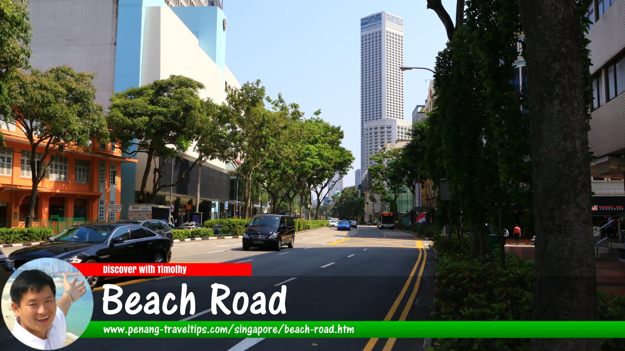
 Beach Road, Singapore (28 July 2017)
Beach Road is a major road in Singapore. It is within the Kallang Planning Area and Downtown Core. It runs from northeast to southwest. It starts at Crawford Street in the northeast and ends at Stamford Road in the southwest. Roads branching from Beach Road include Seah Street, Purvis Street, Middle Road, Liang Seah Street, Tan Quee Lan Street, Rochor Road, Ophir Road, Arab Street, Bussorah Street, Sultan Gate, Aliwal Street, Jalan Sultan, and Java Road.
Beach Road is located in Singapore Postal District 07.
Beach Road has appeared on the 1836 Map of Singapore drawn by imminent local architect George Coleman. At that time, it lives to its name of being a beach-side road. It was known as "Sio1 Pho1 Hai1 Kni2"
 (written in Hokkien Taiji Romanisation), meaning "Small Town Beach." The term "Sio1 Pho1"
  meaning "Small Town" refers to the part of Singapore north of the Stamford Road, while south of it was known as "Tua Poh" or "Big Town".
Another vernacular name for it was "Thik1 Pa1sat3 Khau4"
 , meaning "Facing the Iron Market". This second name refers to the Clyde Terrace Market, a cast-iron market building that once stood where The Gateway building is now located.
In Stamford Raffles' 1822 Town Plan, he put aside Beach Road for the residences of the Europeans. By 1825, there were 20 opulent European bungalows along the road, earning it yet another Hokkien nickname, "Jee33 Cap3 Keng1"
 , meaning "Twenty Houses".
Map of Beach Road, Singapore
Sights along Beach Road
- Block 1 Beach Road Gardens (GPS: 1.30348, 103.8645)

- Block 2 Beach Road Gardens (GPS: 1.30393, 103.86508)

- Block 3 Beach Road Gardens (GPS: 1.30421, 103.86541)

- Caltex Beach Road (GPS: 1.30421, 103.86541)

- Chye Sing Building (GPS: 1.29735, 103.8566)

- City Gate (GPS: 1.3023, 103.8624)

- Civilian War Memorial (GPS: 1.29287, 103.8547)

- Creative House (GPS: 1.3023, 103.8624)

- DUO Singapore (GPS: 1.30068, 103.8579)

- Golden Mile Complex (GPS: 1.30275, 103.86518)

- Golden Mile Food Centre (GPS: 1.30306, 103.86394)

- Golden Mile Tower (GPS: 1.30209, 103.86429)

- Great Eastern House (GPS: 1.29658, 103.856)

- JW Marriott Hotel Singapore South Beach (GPS: 1.29424, 103.856)

- Kampong Glam Community Centre (GPS: 1.30306, 103.86394)

- Masjid Hajjah Fatimah (GPS: 1.30282, 103.86291)

- Park View Hotel (GPS: 1.2972, 103.85645)

- Parkroyal On Beach Road (GPS: 1.2972, 103.85645)

- Raffles City (GPS: 1.29391, 103.85335)

- Raffles Hotel (GPS: 1.29517, 103.85469)

- Shaw Tower (GPS: 1.29668, 103.85683)

- South Beach (GPS: 1.29548, 103.85632)

- St John Singapore (GPS: 1.30172, 103.86315)

- The Concourse (GPS: 1.30097, 103.86245)

- The Gateway (GPS: 1.29854, 103.85924)

Things to eat along Beach Road
- Wah Kee Big Prawn Noodle (GPS: 1.303273, 103.864492)

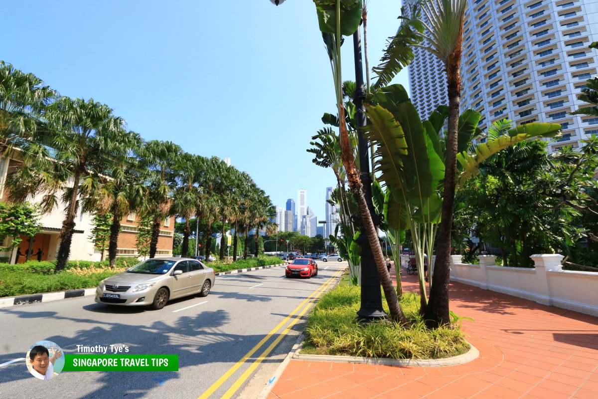 View of Beach Road between Raffles City and South Beach (28 July 2017)
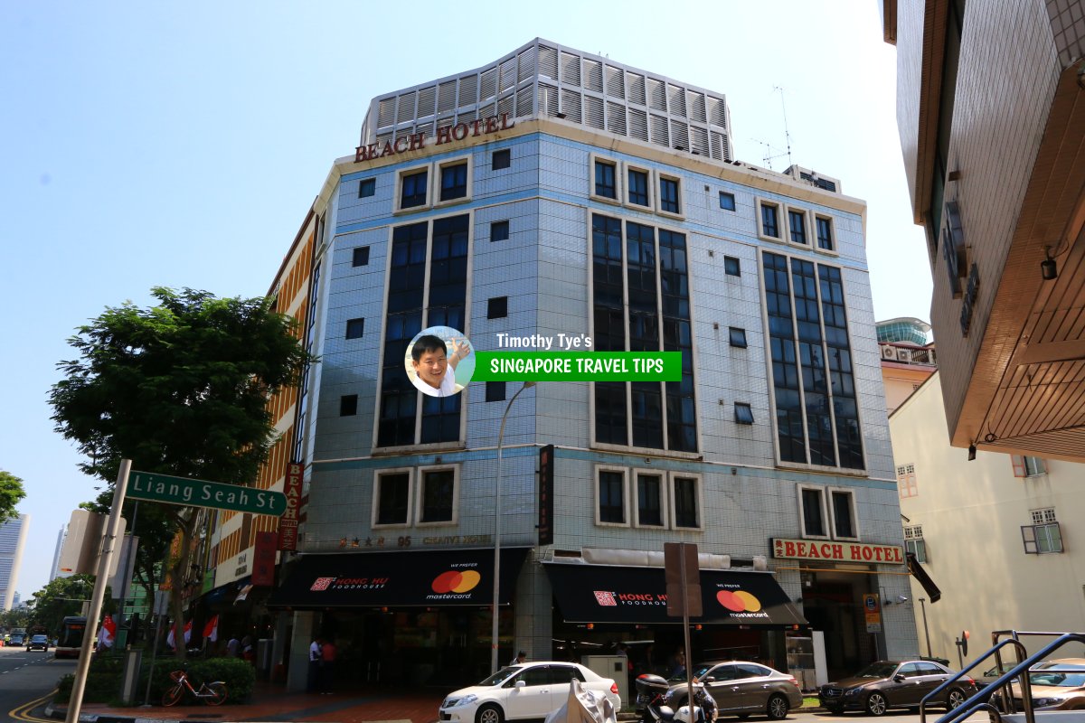 Beach Hotel, a small hotel at the junction of Beach Road and Liang Seah Street. (28 July 2017)
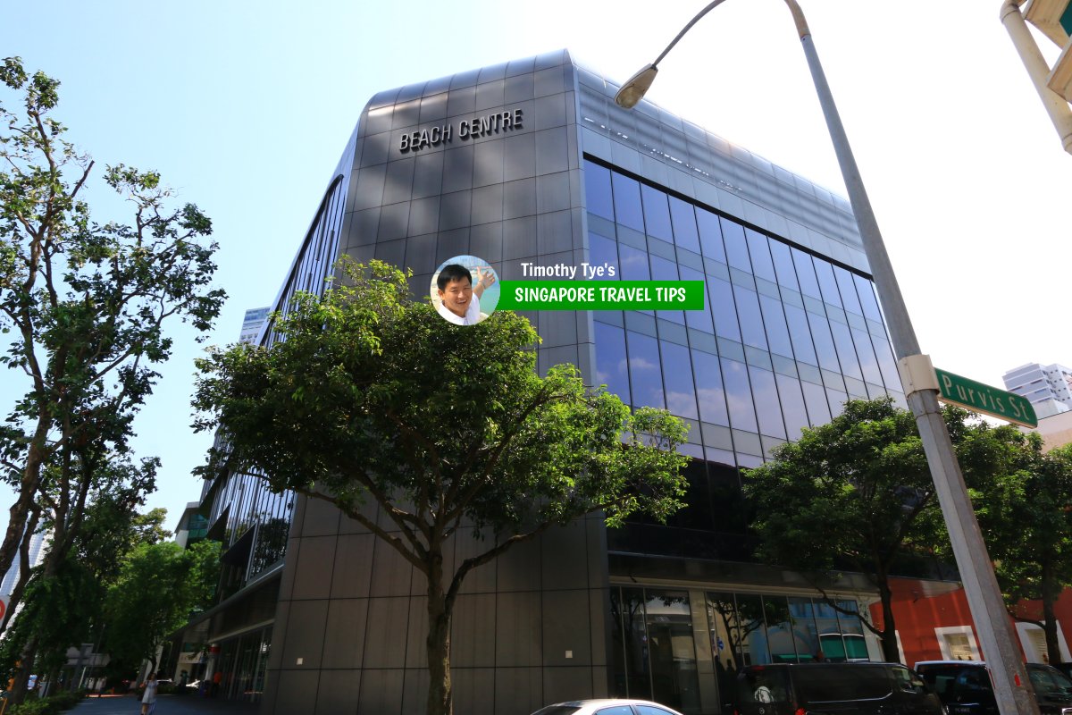 Beach Centre, Singapore (28 July 2017)
 View along Beach Road looking in the direction of downtown. (28 July 2017)
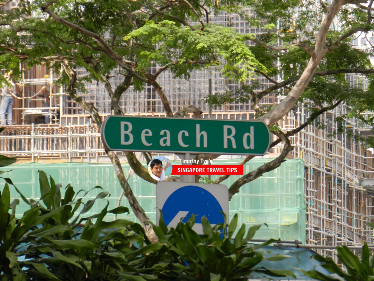 Beach Road roadsign (10 July 2011)
 Beach Road, at Jalan Sultan junction. (10 July 2011)
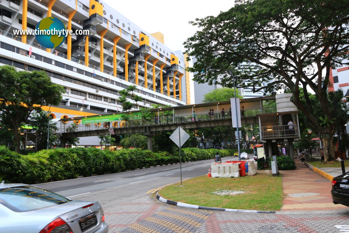 Pedestrian bridge across Beach Road, Singapore (26 July 2017)
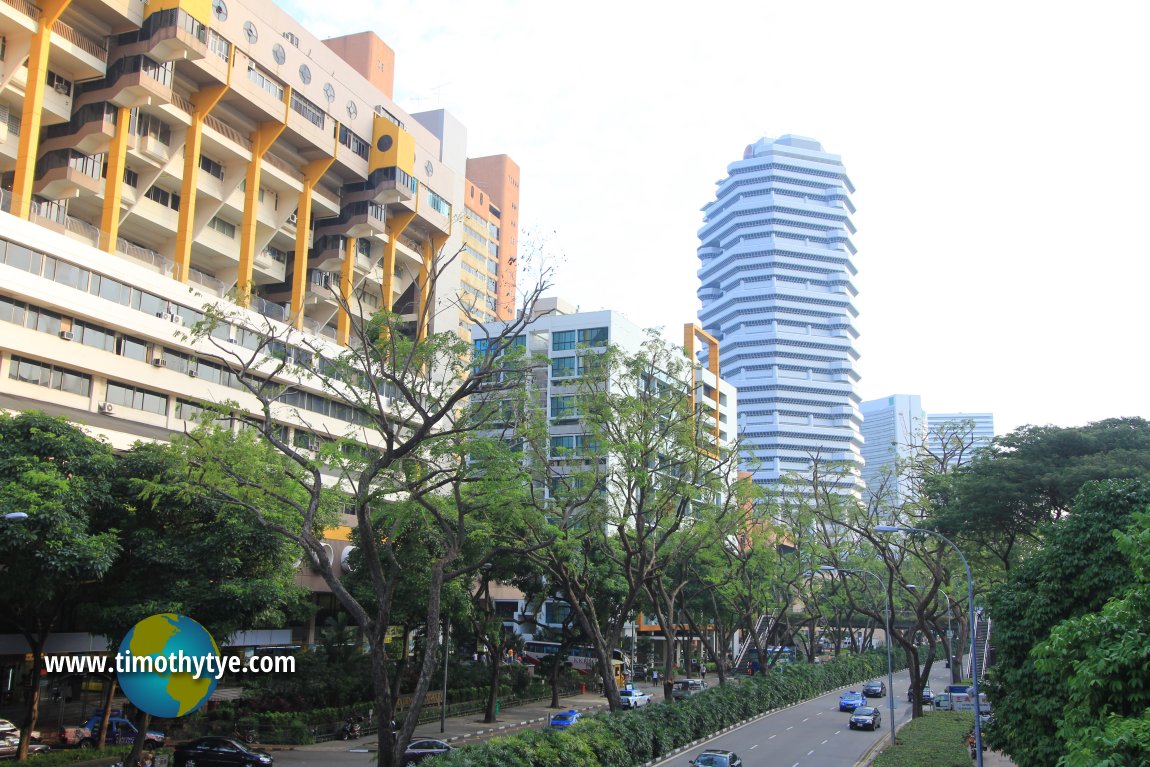 View along Beach Road in front of Golden Mile Complex. (11 July 2011)
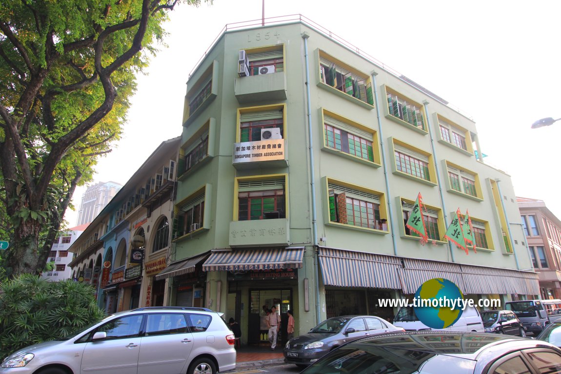 Singapore Timber Association Building on Beach Road (11 July 2011)
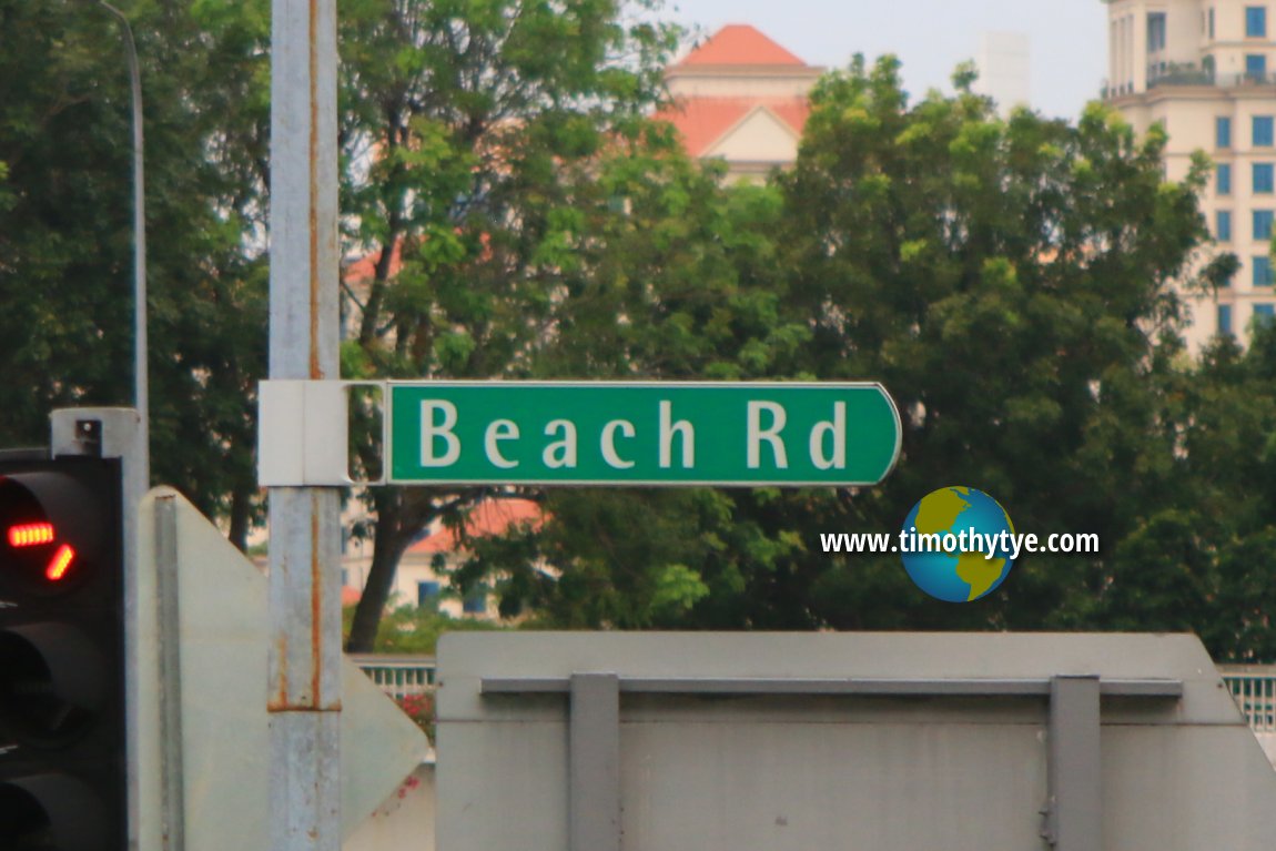 Beach Road roadsign (26 July 2017)
List of the Streets in Singapore; Discover Singapore
 Copyright © 2003-2025 Timothy Tye. All Rights Reserved.
Copyright © 2003-2025 Timothy Tye. All Rights Reserved.

 Go Back