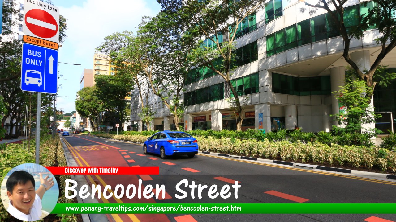
 Bencoolen Street, Singapore (30 July 2017)
Bencoolen Street (Traditional Chinese: 明古連街, Simplified Chinese: 明古连街, Pinyin: Mínggǔlián Jiē, Malay: Leboh Bengkulu) is one of the major roads in the Central region of Singapore. Almost arrow straight, it runs in a diagonal fashion from the northeast to the southwest, starting at the intersection with Rochor Road/Rochor Canal Road (from Jalan Besar), and ending at the intersection with Stamford Road (where it continues as Fort Canning Road).
Bencoolen Street is located in Singapore Postal District 07.
Bencoolen Street was named after the city of Bencoolen, now called Bengkulu, in Sumatra. This was where Stamford Raffles found himself unhappily sojourned in 1818, just before he established Singapore.
Bencoolen Street is intersected by Middle Road and Orchard Road. Among the sights along the way include Sim Lim Square, Albert Complex, Burlington Square, The Bencoolen, Summerview, Hotel Ibis, Sunshine Plaza, Nanyang Academy of Fine Arts, Masjid Bencoolen, LKN-Prinsep House, Intellectural Property Office of Singapore, and the Singapore Management University.
Map of Bencoolen Street, Singapore
Sights on Bencoolen Street
- 30 Bencoolen (GPS: 1.29868, 103.85035)

- Al-Jilani Restaurant (GPS: 1.3008, 103.85158)

- Albert Complex (GPS: 1.3024, 103.85379)

- Bencoolen Hotel (GPS: 1.2989, 103.85005)

- Burlington Square (GPS: 1.30232, 103.85255)

- Fortune Centre (GPS: 1.30057, 103.85205)

- Hotel 81 (GPS: 1.29907, 103.85018)

- Ibis Hotel (GPS: 1.3013, 103.85267)

- Manulife Centre (GPS: 1.29788, 103.85018)

- Masjid Bencoolen (GPS: 1.29927, 103.85037)

- NAFA - Nanyang Academy of Fine Arts (GPS: 1.29998, 103.85167)

- NAFA Campus 2 (GPS: 1.29888, 103.8505)

- NAFA Campus 3 (GPS: 1.3014, 103.8519)

- Rendezvous Hotel (GPS: 1.29844, 103.84927)

- Ruixiang Restaurant (GPS: 1.3009, 103.85175)

- Sim Lim Square (GPS: 1.30307, 103.85297)

- Singapore Management University - School of Economics and Social Sciences (GPS: 1.29786, 103.84887)

- Singapore Management University - School of Information Systems (GPS: 1.29734, 103.84955)

- Strand Hotel Singapore (GPS: 1.29865, 103.84981)

- Summer View Hotel (GPS: 1.30168, 103.85223)

- Sunshine Plaza (GPS: 1.3004, 103.85097)

- The Bencoolen Condominium (GPS: 1.30187, 103.85321)

- V Hotel Bencoolen (GPS: 1.29903, 103.85064)

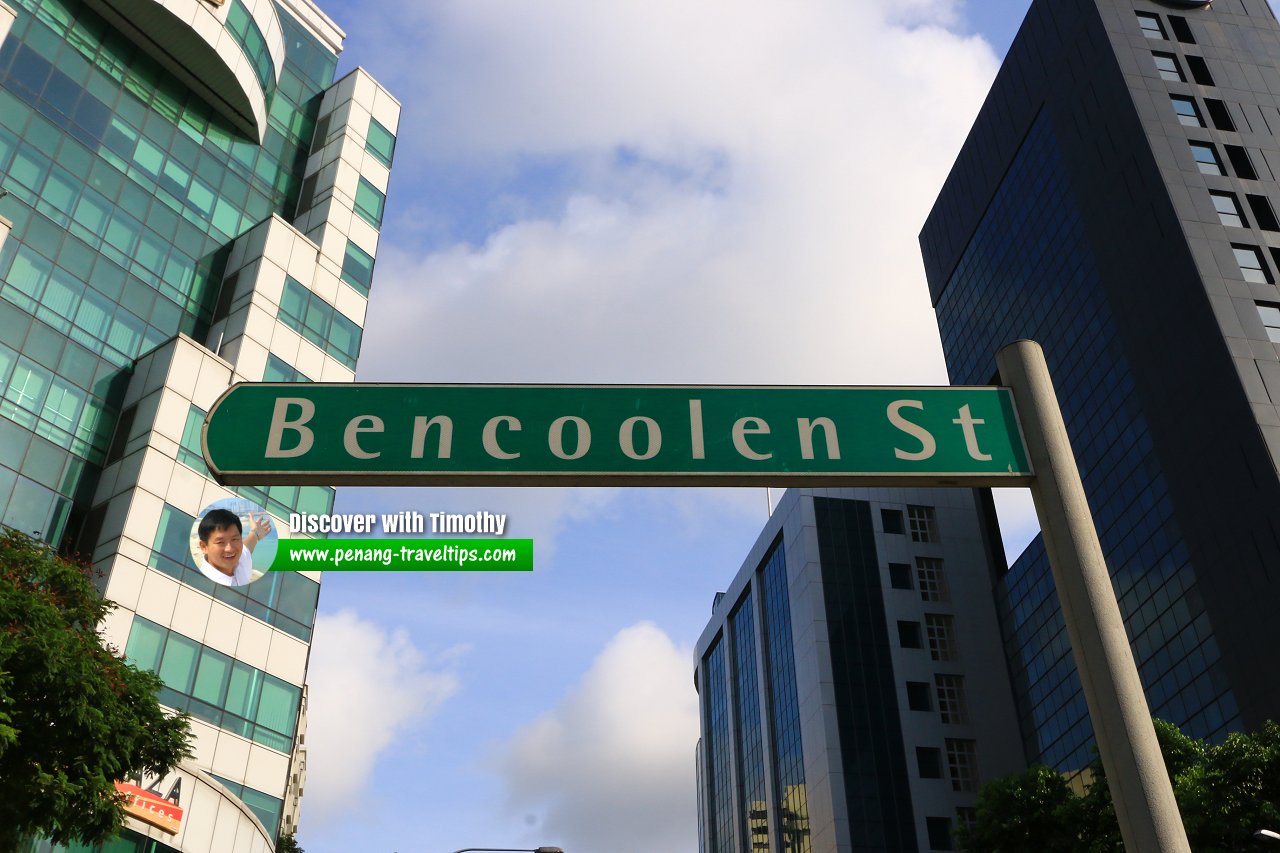
 Bencoolen Street roadsign (30 July 2017)
Bencoolen Street Singapore on Google Street View
Bencoolen Street Singapore (Dec 2022)References
- Singapore Street Names by Victor R Savage and Brenda S.A. Yeoh (2004), ISBN 981-210-364-3
List of the Streets in Singapore; Discover Singapore
 Copyright © 2003-2025 Timothy Tye. All Rights Reserved.
Copyright © 2003-2025 Timothy Tye. All Rights Reserved.

 Go Back