 Benjamin Sheares Bridge, Singapore (1 August 2017)
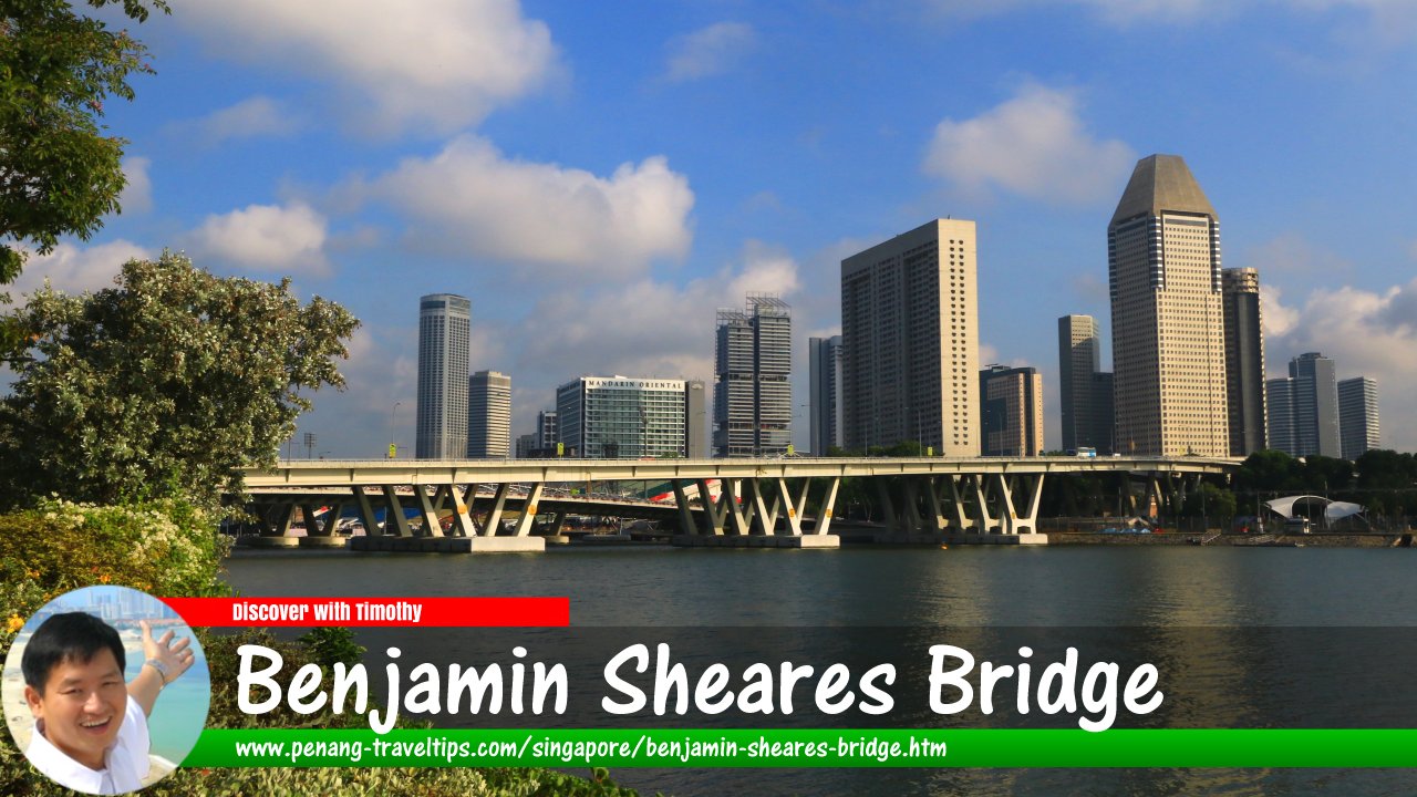
Benjamin Sheares Bridge is the longest and tallest bridge in Singapore. The bridge connects the East Coast Parkway to the east, over Marina Bay with Sheares Avenue to the south. The bridge was named after Dr Benjamin Henry Sheares, who served as the second president of the Republic of Singapore from 1971 to 1981.
The Benjamin Sheares Bridge offers panoramic views of the downtown area of Singapore. It is twenty meters above the sea at its highest point. The bridge was constructed by Sato Kogyo construction company at a cost of S$177 million, and was opened to traffic on 26 September, 1981. It appears on the S$50 banknote.
Map of Benjamin Sheares Bridge
How to reach the Benjamin Sheares Bridge
By car, you would approach the bridge from the East Coast Parkway (ECP) from the east, and from the Ayer Rajah Expressway (AYE) from the west. If your purpose is simply to view the bridge on foot, then take the Circle Line to the Promenade MRT Station and walk from there. Benjamin Sheares Bridge, with Bayfront Bridge on the right (7 July 2011)
 Benjamin Sheares Bridge, as seen from Raffles Avenue, during the daytime. (7 July 2011)
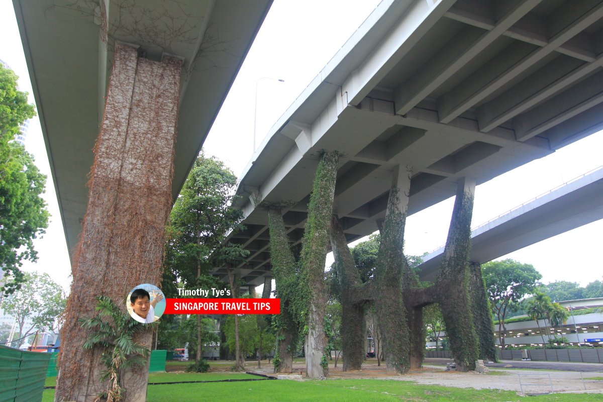
 Benjamin Sheares Bridge (7 July 2011)
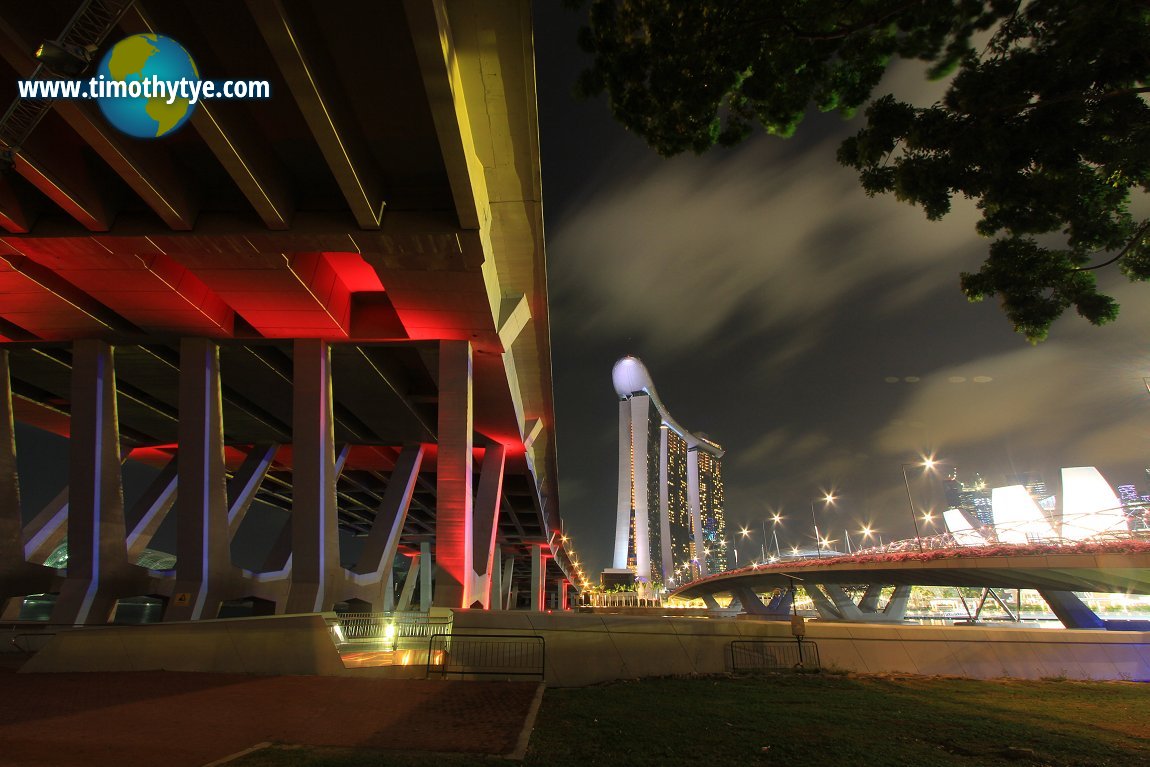
 Piers of the Benjamin Sheares Bridge at night (7 July 2011)
Benjamin Sheares Bridge is  on the Map of Marina Bay, Singapore
Benjamin Sheares Bridge is  on the Map of Bridges in Singapore
Benjamin Sheares Bridge on Google Maps Street View
Benjamin Sheares Bridge Singapore (Mar 2022)List of the Bridges in Singapore; Discover Singapore
 Copyright © 2003-2025 Timothy Tye. All Rights Reserved.
Copyright © 2003-2025 Timothy Tye. All Rights Reserved.

 Go Back