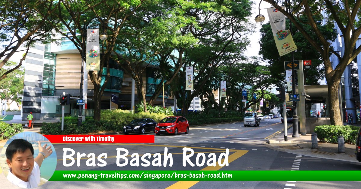
 Bras Basah Road, Singapore (30 July 2017)
Bras Basah Road is a street in downtown Singapore. It runs east to west in one direction within the Museum Planning Area. It starts from Orchard Road, at the junction with Handy Road, where the ERP gantry marks the entrance to the Central Business District, and ends at the junction with Nicoll Highway, from where it continues as Raffles Boulevard. Along the way, it forms junctions and intersections with Prinsep Street, Bencoolen Street, Waterloo Street, Queen Street, Victoria Street, North Bridge Road and Beach Road.
Bras Basah Road was said to have been named after rice that was laid out in the sun to dry. It was constructed using convict labour. Until 1822, it may have been two roads which were later renamed as one. Between North Bridge Road and Beach Road, it was called Church Street, due to the Missionary Society chapel that stood there. Between North Bridge Road and Selegie Hill it was called Selegy Street. In a 1826 lease, the road was referred to as Cross Road. Stamford Raffles is said to have also suggested that it be called College Street.
Bras Basah Road was known by various names among the Chinese. It was known as Lau33 Kha3ku3keng3 Khau4
 , meaning "entrance to the old prison". This name came about because there was a jail between Stamford Road and Bras Basah Road. It was also called He-lang Xi Libai Tang meaning "beside the French church," in reference to the Cathedral of the Good Shepherd along the road; Tek-kok Seng-long meaning "German pharmacy" in reference to a pharmacy that used to be located there; and as Hai1kni3 Ang3mor3 Tua33ok3 Pni1
  meaning "beside the Seaside European High School," probably in reference to Raffles Institution that used to be located there.
Map of Bras Basah Road, Singapore
Sights along Bras Basah Road
- Carlton Hotel Singapore
 (GPS: 1.29592, 103.85271)
- Cathedral of the Good Shepherd (GPS: 1.29608, 103.85119)

- CHIJMES (GPS: 1.29512, 103.85226)

- Fairmont Singapore
 (GPS: )
- Lazada One (GPS: 1.29787, 103.85013)

- NTUC - National Trades Union Congress (GPS: 1.29663, 103.85171)

- Raffles City (GPS: 1.29395, 103.85333)

- Raffles Hotel (GPS: 1.29507, 103.85433)

- Rendezvous Hotel Singapore (GPS: 1.29851, 103.84931)

- School of the Arts Singapore - SOTA (GPS: 1.29936, 103.84862)

- Singapore Art Museum (GPS: 1.29734, 103.85099)

- SMU - Singapore Management University (GPS: 1.29632, 103.85018)

- SMU Information Systems (GPS: 1.2974, 103.84958)

- SMU School of Social Sciences and Economics (GPS: 1.29789, 103.84886)

- The Cathay Cineplex (GPS: 1.29944, 103.84771)

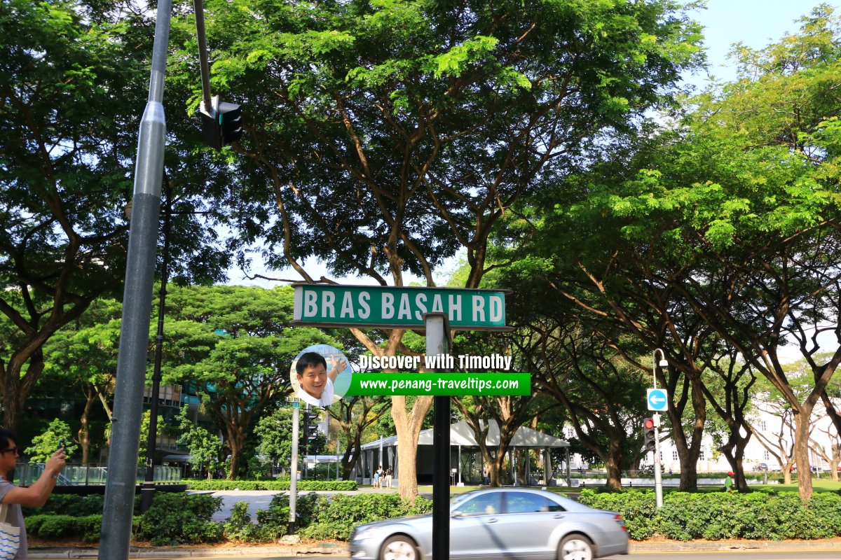
 Bras Basah Road roadsign (30 July 2017)
 Bras Basah Road roadsign (28 July 2017)
Bras Basah Road Singapore on Google Street View
Bras Basah Road, Singapore (Jul 2019)References
1. Singapore Street Names, by Victor R Savage & Brenda S.A. Yeoh (2013)2. Toponymics: A Study of Singapore Street Names, by Victor R Savage & Brenda S.A. Yeoh (2004)
List of the Streets in Singapore; Discover Singapore
 Copyright © 2003-2025 Timothy Tye. All Rights Reserved.
Copyright © 2003-2025 Timothy Tye. All Rights Reserved.

 Go Back