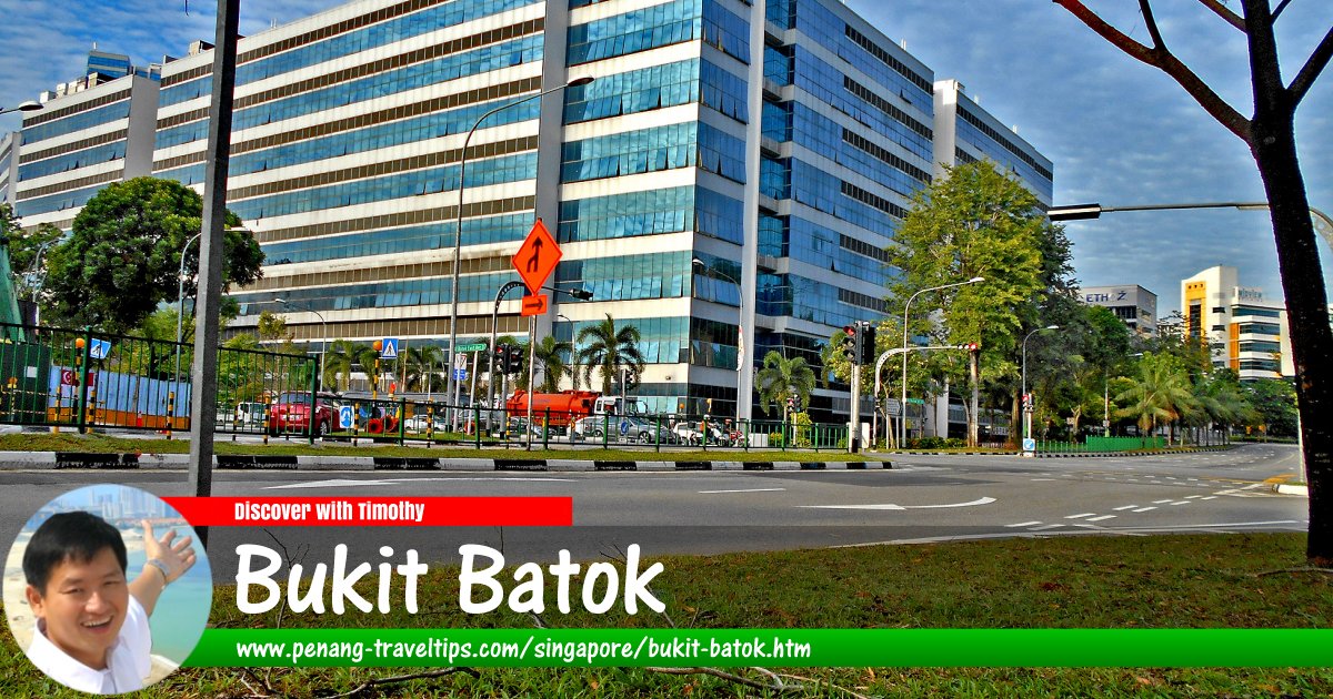
 Bukit Batok, Singapore
Firzafp, CC BY-SA 4.0, via Wikimedia Commons
Bukit Batok
 (GPS: 1.35902, 103.76367) is a township (or "planning area" in local nomenclature) in central western Singapore. It is bounded by Bukit Batok Road to the west and the Pan Island Expressway (PIE) to the south. Surrounding Bukit Batok is Choa Chu Kang in the northwest, Bukit Panjang in the northeast, Bukit Timah in the southeast, Clementi to the south, Jurong East to the southwest and Tengah to the west.
Bukit Batok is located in Singapore Postal District 23.
The planning area of Bukit Batok comprises nine neighbourhoods (called "subzones") namely Brickworks, Bukit Batok Central, Bukit Batok East, Bukit Batok South, Bukit Batok West, Gombak, Guilin, Hillview and Hong Kah North.
There are several versions as to how Bukit Batok got its name, particularly the word "batok". The most straightforward explanation is that the word "batok" means "cough" in Malay, and opened the speculation that the cold hill air of the hill leads to coughs and colds. Another version is that the word "batok" means "coconut" in Javanese. Yet another explanation is that the word "batok" is a corruption of the word "batu".
Map of Bukit Batok, Singapore
MRT stations in Bukit Batok
- Cashew MRT Station (GPS: 1.36882, 103.76471)

- Hillview MRT Station (GPS: 1.36251, 103.76724)

- Hume MRT Station (GPS: 1.35487, 103.76872)
 under construction
Sights in Bukit Batok
- Bukit Panjang Gospel Chapel (GPS: 1.37769, 103.75935)

- West Mall (GPS: 1.35005, 103.74922)

Amenities in Bukit Batok
Schools in the area includes Bukit View Primary School, Dazhong Primary School, Hong Kah Primary School, Keming Primary School, Lianhua Primary School, Princess Elizabeth Primary Schoool, St Anthony's Primary School, Bukit Batok Secondary School, Bukit View Secondary School, Dunearn Secondary School, Hillgrove Secondary School, Swiss Cottage Secondary School, Yusof Ishak Secondary School, Millennia Institute (formerly Jurong Institute and Outram Institute), ITE College West, and the Singapore Hotel and Tourism Education Centre (SHATEC).Places of worship in Bukit Batok include Abundant Life Baptist Church, Ar-Raudhah Mosque, Bukit Batok Presbyterian Church, Church of St Mary of the Angels, Grace Assembly of God, Guilin Combined Temple, Hock Tong Temple, Hoon Lam Tua Peh Kong Temple, Jesus Lives Church, Ling Hong Tong Temple, Sattha Puchaniyam Buddhist Temple, See Tien Foh Combined Temple, Tong Tien Kung Temple, Wu Lui Sien Sze Temple, and Zu-Lin Temple.
Retail and commercial premises at Bukit Batok include West Mall, at 1 Bukit Batok Central Link. Sports facilities include Bukit Batok Swimming Complex, Bukit Batok Town Park and Bukit Batok Nature Park.
Getting there
Bukit Batok MRT Station (NS2) on the North-South Line.List of Planning Areas in Singapore and Places in Singapore; Discover Singapore
 Copyright © 2003-2025 Timothy Tye. All Rights Reserved.
Copyright © 2003-2025 Timothy Tye. All Rights Reserved.

 Go Back