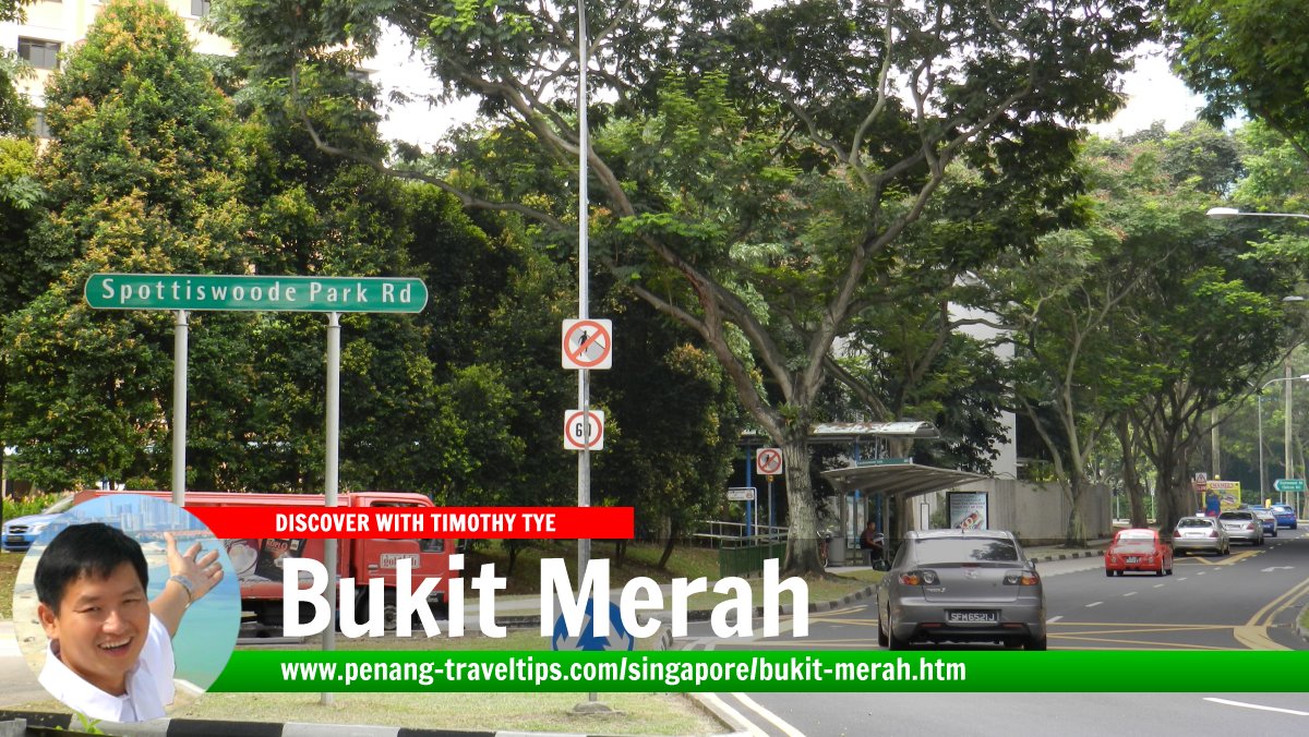
 Bukit Merah Planning Area, Singapore (7 July 2011)
Bukit Merah
 (GPS: 1.2819, 103.82391) is a place (or "planning area" in local nomenclature) on the southern part of Singapore. It takes its name after the hill there. Bukit Merah means "red hill" in Malay. This is due to the laterite earth in the area. However, there is a Malay legend associated with the hill. In the old times, there was a fishing village in Singapore that was often attacked by swordfish.
One day, a young boy proposed to the ruler that a palisade of banana trunks be built as defense against the swordfish attack. When the palisade was erected, the attacking swordfish were stuck in the banana trunks, saving the village. The villagers paraded the boy as a local hero. However, this stirred the jealousy of the ruler, who ordered that the boy be killed. His blood was said to turn the soil red.
Bukit Merah is bordered by River Valley in the north, Singapore River in the northeast, Outram in the east, Downtown Core and Downtown Central in the southeast, and Queenstown in the west.
The planning area of Bukit Merah is divided into 17 neighbourhoods (called "subzones"). They are Alexandra Hill, Alexandra North, Bukit Ho Swee, Bukit Merah, City Terminals, Depot Road, Everton Park, Henderson Hill, Kampong Tiong Bahru, Maritime Square, Redhill, Singapore General Hospital, Telok Blangah Drive, Telok Blangah Rise, Telok Blangah Way, Tiong Bahru and Tiong Bahru Station.
Map of Bukit Merah, Singapore
Apartments and condominiums in Bukit Merah
- Cantonment Towers (GPS: 1.27508, 103.84041)

- Reflections at Keppel Bay (GPS: 1.26847, 103.81444)

Expressways in Bukit Merah
MRT Stations in Bukit Merah
- Cantonment MRT Station (GPS: 1.27278, 103.83663; CC31)
 under construction
 - HarbourFront MRT Station (GPS: 1.26596, 103.82077)

- Keppel MRT Station (GPS: 1.27035, 103.83064; CC30)
 under construction
 - Labrador Park MRT Station (GPS: 1.27233, 103.80273)

- Redhill MRT Station (GPS: 1.28973, 103.81648)

- Telok Blangah MRT Station (GPS: 1.2707, 103.80972)

- Tiong Bahru MRT Station (GPS: 1.2707, 103.80972)

Sights in Bukit Merah
- Cantonment Towers (GPS: 1.27508, 103.84041)

- HarbourFront Centre (GPS: 1.26451, 103.82027)

- Labrador Nature Reserve (GPS: 1.26555, 103.80156)

- Singapore Art Museum at Tanjong Pagar Distripark (GPS: 1.27195, 103.83675)

- Singapore Cruise Centre (GPS: 1.26336, 103.82023)

- St James Power Station (GPS: 1.26476, 103.82487)

- VivoCity (GPS: 1.26462, 103.82231)

Streets in Bukit Merah
Amenities in Bukit Merah
Schools in Bukit Merah include Bukit Merah Secondary School, Gan Eng Seng Primary School and Henderson Secondary School. Places of worship here include Jamiyah Ar-rabitah Mosque, Kwan Yam Theng Buddhist Temple and Zhen Ren Gong Temple. Public facilities include Bukit Merah Swimming Complex and Bukit Merah Community Library. Retail premises include the IKEA store at neighboring Alexandria.Getting there
Redhill MRT Station (EW18) on the East-West Line and Bukit Merah Bus Interchange.List of Planning Areas in Singapore and Places in Singapore; Discover Singapore
 Copyright © 2003-2025 Timothy Tye. All Rights Reserved.
Copyright © 2003-2025 Timothy Tye. All Rights Reserved.

 Go Back