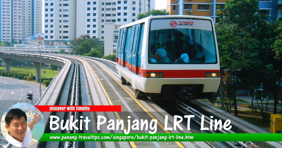
 Bukit Panjang LRT Line, Singapore
mailer_diablo, CC BY-SA 3.0, via Wikimedia Commons
Bukit Panjang LRT Line is a 7.8 km light rail transit system in Bukit Panjang, Singapore. It is the first of Singapore's light rail transit systems to go into operation. The line opened on 6 November 1999 serving 14 stations in the Bukit Panjang area. The terminals for the line are Choa Chu Kang and Ten Mile Junction stations. When the line first went into service, commuters can take the Singapore MRT North-South Line to the Choa Chu Kang MRT Station to connect to the LRT. Since 27 December, the Bukit Panjang MRT Station, which serves as the western terminus of the Downtown Line, becomes an interchange for the LRT line to the MRT. The Bukit Panjang LRT Line is colour-coded grey.
Map of Bukit Panjang LRT Line
Stations on the Bukit Panjang LRT Line
- Choa Chu Kang MRT Station BP1/NS4 (GPS: 1.38551, 103.74425)

- South View LRT Station BP2 (GPS: 1.38031, 103.74522)

- Keat Hong LRT Station BP3 (GPS: 1.37867, 103.74893)

- Teck Whye LRT Station BP4 (GPS: 1.37687, 103.75294)

- Phoenix LRT Station BP5 (GPS: 1.37848, 103.75762)

- Petir LRT Station BP7 (GPS: 1.37728, 103.76736)

- Pending LRT Station BP8 (GPS: 1.37627, 103.77133)

- Bangkit LRT Station BP9 (GPS: 1.38038, 103.77267)

- Fajar LRT Station BP10 (GPS: 1.38475, 103.77097)

- Segar LRT Station BP11 (GPS: 1.38748, 103.77018)

- Jelapang LRT Station BP12 (GPS: 1.38682, 103.76464)

- Senja LRT Station BP13 (GPS: 1.38322, 103.76217)

Return to Singapore MRT; Discover Singapore
 Map of Singapore MRT

Copyright © 2003-2025 Timothy Tye. All Rights Reserved.

 Go Back