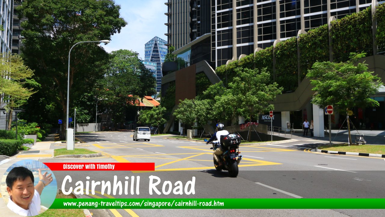
 Cairnhill Road, Singapore
Cairnhill Road is a road in Singapore. It forms a curve connecting Scotts Road in the north with Orchard Road in the south. The road is within Newton for much of the way, with a small portion passing through Orchard Planning Area, and is entirely within Postal District 9. Towards the middle portion of the road, it connects with Cairnhill Circle and Bideford Road. Junctions emerging from Cairnhill Road include Anthony Road, Hullet Road and Emerald Link.
Cairnhill is located in Singapore Postal District 09.
Cairnhill Road is believed to have been named after a 19th century mansion built by one Charles Carnie, who had a nutmeg plantation there around 1848. At the junction with Bideford Road is the Al-Falah Mosque, the first mosque in Singapore to the housed in a high-rise building. At the other end of Cairnhill Road is The Heeren Shops and the Singapore Visitor Centre.
Map of Cairnhill Road, Singapore
Sights along Cairnhill Road, Singapore
- Ascott Orchard Singapore (GPS: 1.304, 103.83715)

- Cairnhill Place (GPS: 1.30365, 103.83722)

- Cairnhill Plaza (GPS: 1.30633, 103.83686)

- Tan Chin Tuan Mansion (GPS: 1.30525, 103.83742)

- The Heeren (GPS: 1.30263, 103.8373)

- The Laurels (GPS: 1.30477, 103.83764)

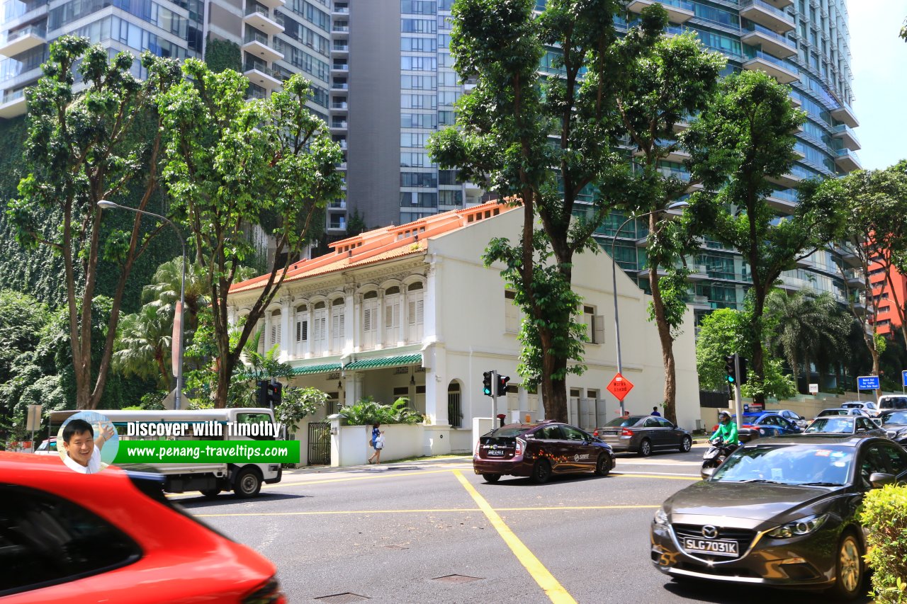 Prewar terrace houses at the Cairnhill Road junction with Cairnhill Circle. (1 August 2017)
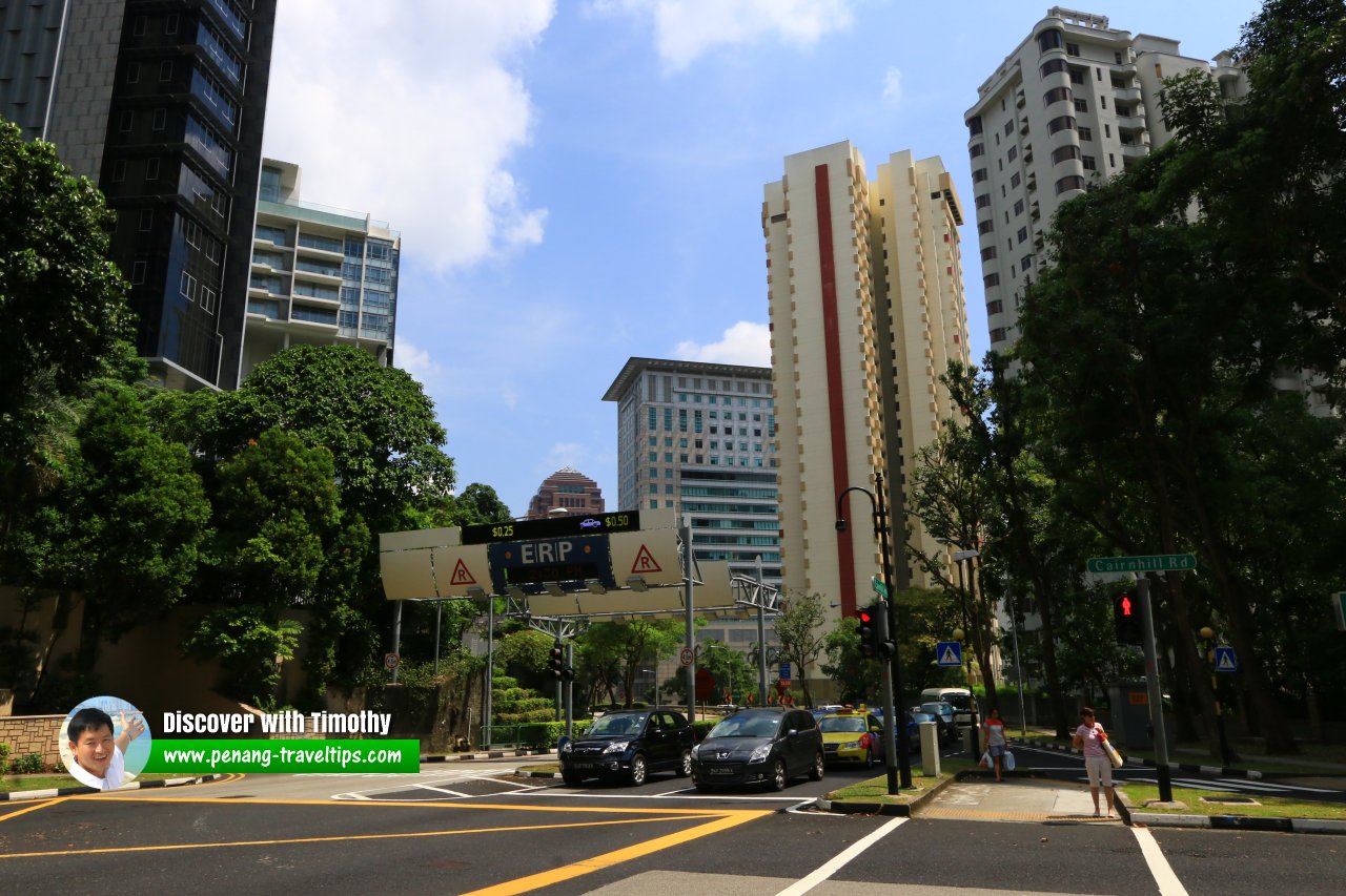 Electronic Road Pricing gantry on Cairnhill Road, Singapore
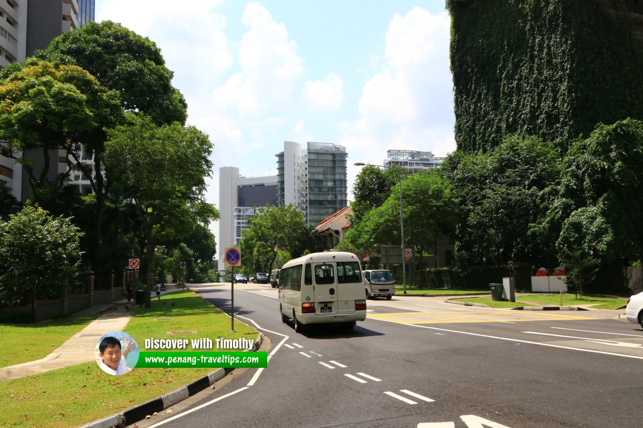 Cairnhill Road, viewed north in the direction towards Scotts Road.
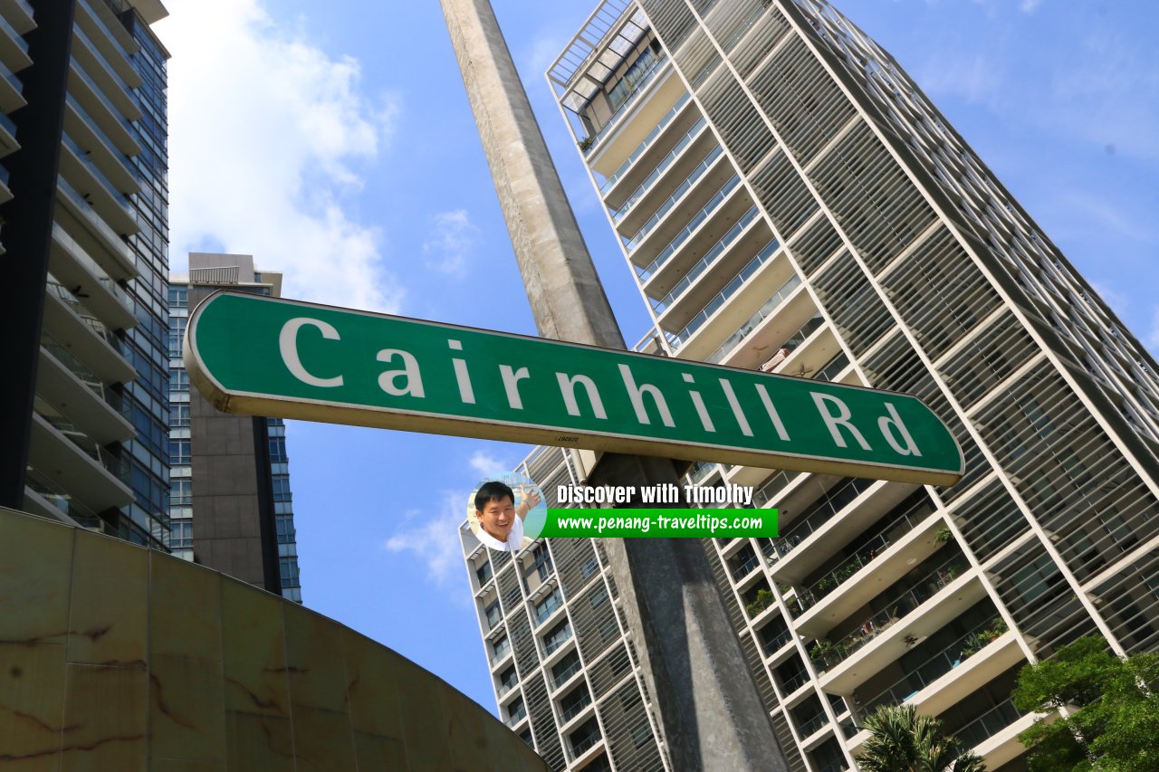 Cairnhill Road roadsign (1 August 2017)
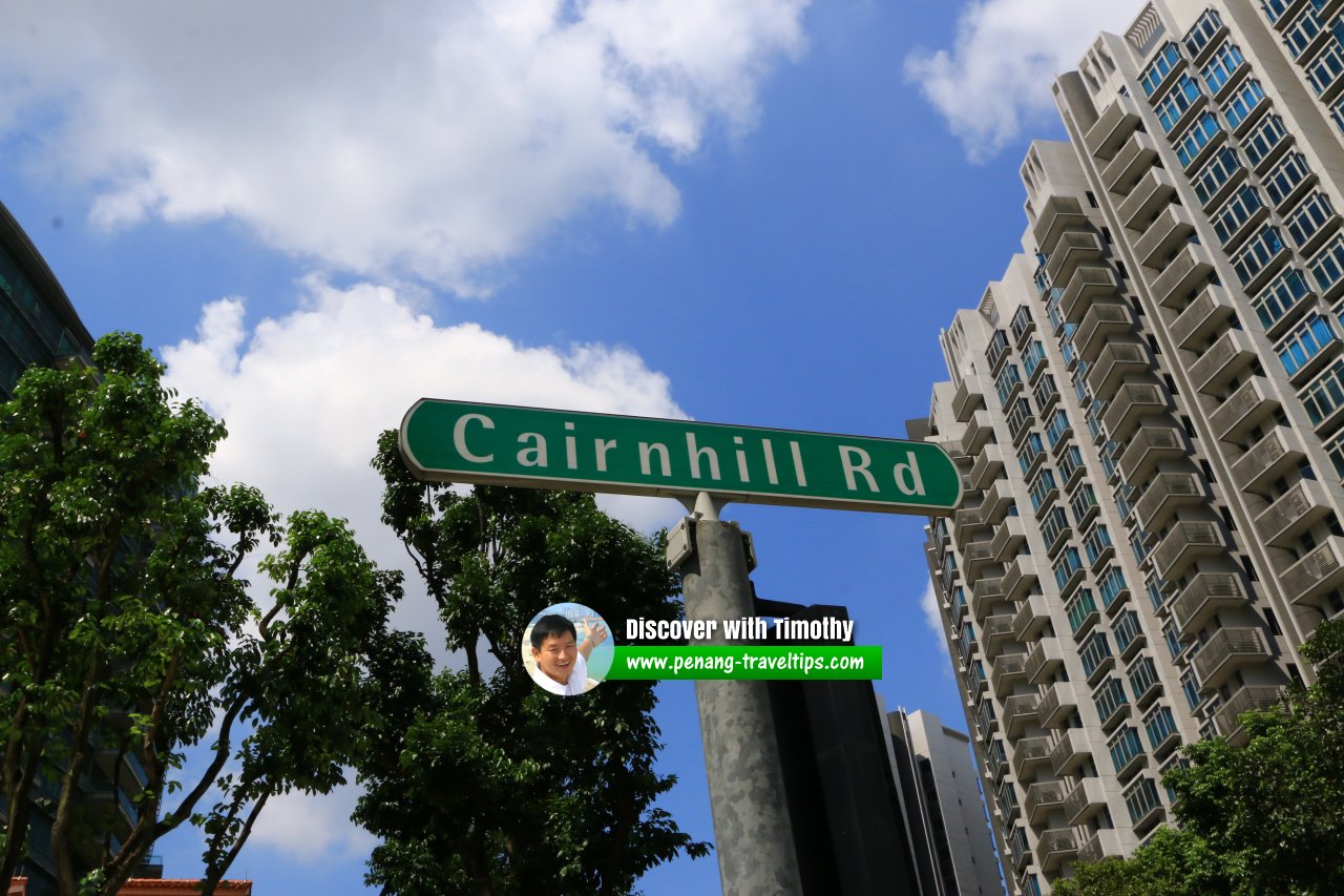 Cairnhill Road roadsign (1 August 2017)
Cairnhill Road Singapore on Google Street View
Cairnhill Road Singapore (Feb 2022)List of the Streets in Singapore; Discover Singapore
 Copyright © 2003-2025 Timothy Tye. All Rights Reserved.
Copyright © 2003-2025 Timothy Tye. All Rights Reserved.

 Go Back