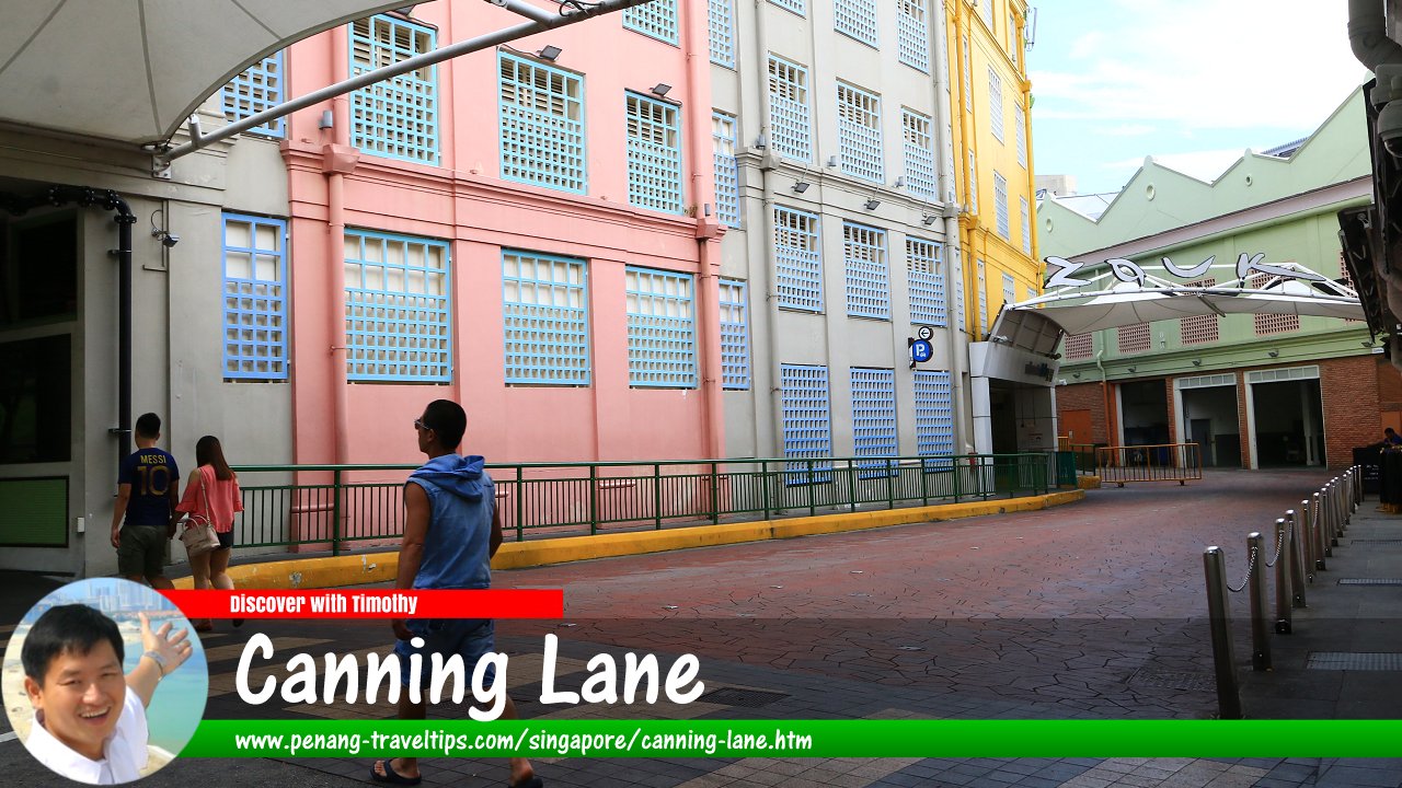
 Canning Lane, Singapore (30 July 2017)
Canning Lane is a minor road in Clarke Quay, Singapore. It is within the Singapore River Planning Area, in Postal District 06. The road connects on one end to River Valley Road. A section of the road is pedestrianised all the way to the riverside.
According to Singapore Street Names1, Canning Lane was named after Viscount Charles John Canning (1812-1862), who was the 1st Earl Canning. Canning was the Governor-General of India from 1856 to 1862. It was under Canning that Singapore transitioned from being under the East India Company to the Crown. Fort Canning was likewise named after him.
Map of Canning Lane, Singapore
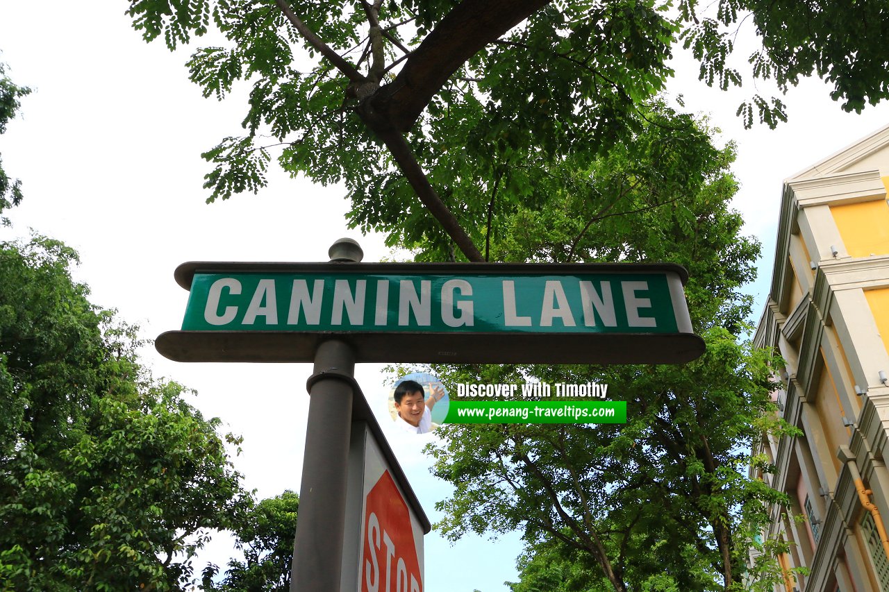
 Canning Lane roadsign (30 July 2017)
Canning Lane Singapore on Google Street View
Canning Lane Singapore (Dec 2022)References
- Singapore Street Names - A Study of Toponymics by Victor R Savage and Brenda S.A. Yeoh (2013, 2023), ISBN 978-981-4408-35-6
- What's in the Name? How the Streets and Villages in Singapore Got Their Names by Ng Yew Peng (2018), ISBN 978-981-32-2139-0
List of the Streets in Singapore; Discover Singapore
 Copyright © 2003-2025 Timothy Tye. All Rights Reserved.
Copyright © 2003-2025 Timothy Tye. All Rights Reserved.

 Go Back