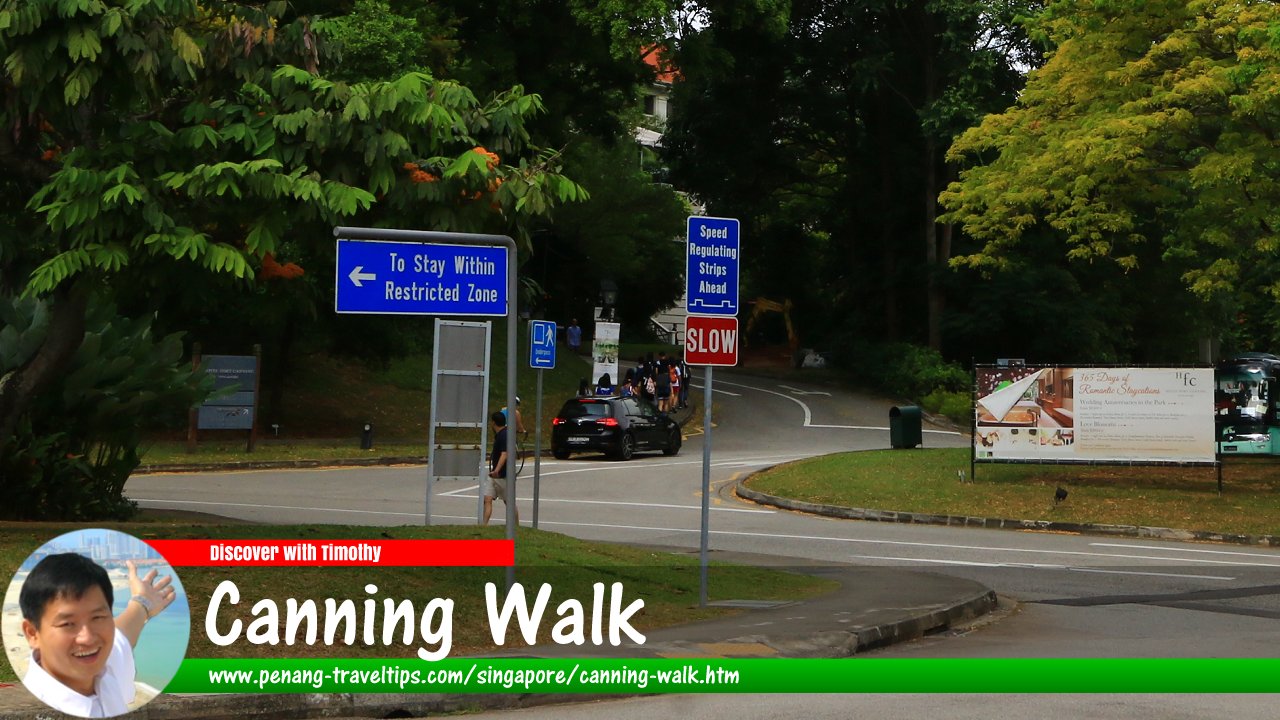
 Canning Walk, Singapore (30 July 2017)
Canning Walk is a minor road at Fort Canning, in the Museum Planning Area of downtown Singapore. It skirts the northern foot of Fort Canning Hill. On the eastern side, it connects with Canning Rise and Percival Road while on the western side, there is an access from Fort Canning Road.
Canning Walk is close to several notable landmarks and tourist attractions, such as Clarke Quay, Boat Quay, and the Merlion Park. Overall, Canning Walk is popular among visitors to Fort Canning, and it is the location for parking, making it a popular destination for visitors and locals alike.
Map of Canning Walk, Singapore
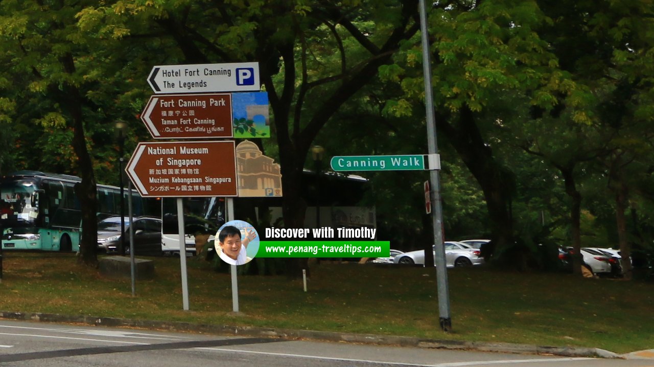
 Canning Walk roadsign (30 July 2017)
Canning Walk Singapore on Google Street View
Canning Walk Singapore (Dec 2022)References
- Singapore Street Names - A Study of Toponymics by Victor R Savage and Brenda S.A. Yeoh (2013), ISBN 978-981-4408-35-6
List of the Streets in Singapore; Discover Singapore
 Copyright © 2003-2025 Timothy Tye. All Rights Reserved.
Copyright © 2003-2025 Timothy Tye. All Rights Reserved.

 Go Back