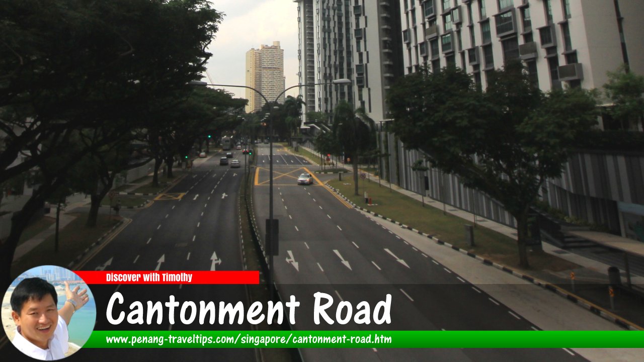
 Cantonment Road, Singapore (7 July 2011)
Cantonment Road is one of the major roads in downtown Singapore. It runs roughly north-south on the western part of the downtown area, starting at the intersection with New Bridge Road/Eu Tong Sen Street, across from Outram Road, in the north, and ends at the junction with Keppel Road in the south. In between, it forms an interchange with Neil Road, and junctions with Cantonment Link, Yan Kit Road and Enggor Street.
Cantonment Road was named after the cantonment, or police barracks, erected by Major William Farquhar, following the directive from Stamford Raffles, in the area. However, Raffles was furious when he discovered that Farquhar had sold land which was meant for public space to European merchants. This was one of the many conflicts between Raffles and Farquhar that culminated with the latter's dismissal.
Farquhar was never ever satisfied with how things turned out. In his opinion, it was he would was instrumental in founding Singapore. However, the way he went about business might not have created the Singapore that we know today.
Map of Cantonment Road, Singapore
Sights along Cantonment Road
- Cantonment Towers (GPS: 1.27298, 103.84238)

- Jit Poh Building (GPS: 1.27298, 103.84238)

- Lim See Tai Chong Soon Kiu Leong Tong 林氏大宗祠九龍堂 (GPS: 1.27495, 103.84132)

- Maritime House (GPS: 1.27656, 103.84037)

- Pinnacle @ Duxton (GPS: 1.27616, 103.84123)

- Police Cantonment Complex (GPS: 1.27616, 103.84123)

- Southpoint (GPS: 1.27354, 103.8412)

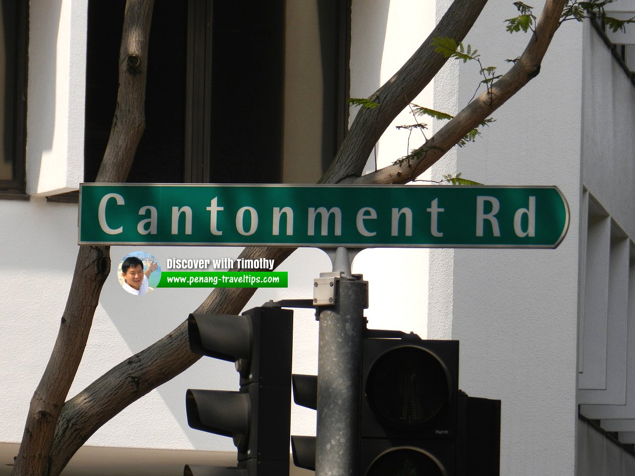
 Cantonment Road signboard (7 July 2011)
Cantonment Road Singapore on Google Street View
Cantonment Road Singapore (Dec 2022)References
Toponymics - A Study of Singapore Street Names by Victor R Savage and Brenda S.A. Yeoh (2004), ISBN 981-210-364-3List of the Streets in Singapore; Discover Singapore
 Copyright © 2003-2025 Timothy Tye. All Rights Reserved.
Copyright © 2003-2025 Timothy Tye. All Rights Reserved.

 Go Back