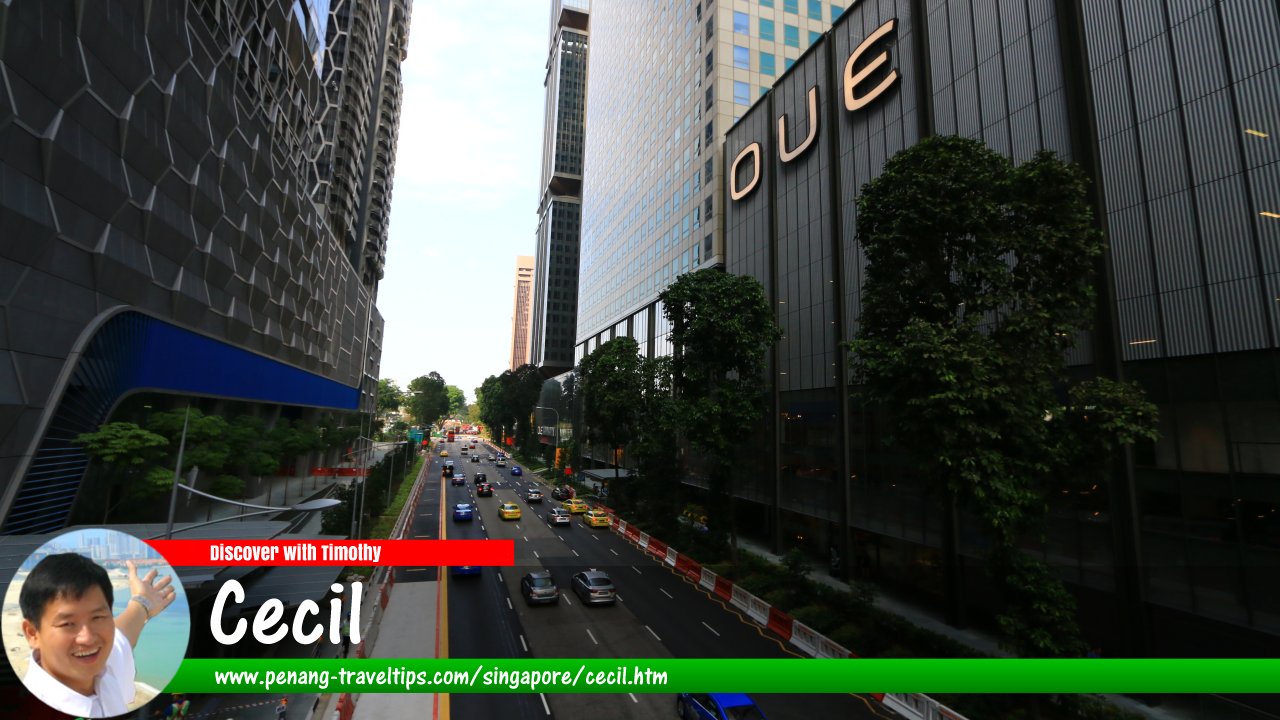
 Cecil subzone, Singapore (27 July 2017)
Cecil is a subzone within the Downtown Core planning area of Singapore. It is bounded by Telok Ayer Street, McCallum Street, Cecil Street, Cross Street, Raffles Quay, Commerce Street, Straits Boulevard and Maxwell Road.
Map of Cecil, Singapore
Sights in Cecil Subzone
- 71 Robinson Road (GPS: 1.27857, 103.84885)

- 80 Robinson Road (GPS: 1.28035, 103.8494)

- 110 Robinson Road (GPS: 1.27941, 103.84892)

- Afro-Asia Building (GPS: 1.27902, 103.84911)

- AIA Tower (GPS: )

- BEA Building (GPS: 1.2807, 103.84969)

- Capital Tower (GPS: 1.2778, 103.84771)

- Crown @ Robinson, formerly
Chow House(GPS: 1.27861, 103.84834)
- City House (GPS: 1.28117, 103.85)

- CPF Building (GPS: 1.27733, 103.84812)

- Finexis Building (GPS: 1.27949, 103.84896)

- One Shenton Way (GPS: 1.27946, 103.85051)

- OUE Downtown (GPS: 1.278, 103.84897)

- Oxley Tower (GPS: 1.27874, 103.84842)

- RHB Bank Building (GPS: 1.28143, 103.84913)

- Robinson 77 (formerly SIA Building) (GPS: 1.27822, 103.84861)

- Robinson 112 (GPS: 1.27921, 103.8488)

- Robinson Centre (GPS: 1.27929, 103.84924)

- Robinson Point (GPS: 1.27965, 103.84948)

- Robinson Suites (GPS: 1.28096, 103.84984)

- Robinson Square (GPS: 1.27857, 103.84885)

- SBF Center (GPS: 1.27828, 103.8481)

- SGX Centre (GPS: 1.27935, 103.84981)

- Shenton House (GPS: 1.27869, 103.85007)

- SIF Building (GPS: 1.27985, 103.84917)

- Singapore Conference Hall (GPS: 1.27645, 103.84883)

- SO Sofitel Singapore (GPS: 1.2807, 103.84969)

- Telok Ayer Market (Lau Pa Sat) (GPS: 1.2805, 103.85044)

- UOB Building (GPS: 1.27838, 103.84819)

- V on Shenton (GPS: 1.27763, 103.84945)

Streets in Cecil Subzone
List of Planning Areas in Singapore and Places in Singapore; Discover Singapore
 Copyright © 2003-2025 Timothy Tye. All Rights Reserved.
Copyright © 2003-2025 Timothy Tye. All Rights Reserved.

 Go Back