 Changi, Singapore (26 July 2017)
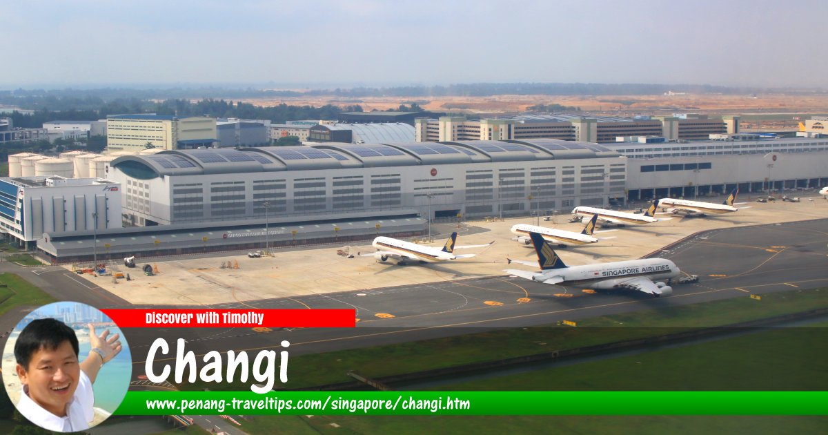
Changi (GPS: 1.34501, 103.9832) is the name of the place (now regarded as a "planning area") on the easternmost part of Singapore. Today much of Changi is occupied by the Singapore Changi Airport. It is also the location of the Changi Prison a civilian prison that has existed here since 1936. During the Second World War, the Japanese military detained about 3000 civilians here in quarters built to house only 600 prisoners.
Changi is located in Singapore Postal District 17.
The planning area of Changi comprises three neighbourhoods, called "subzones". They are Changi Airport, Changi Point and Changi West.
The name Tanjung Changi has appeared in the Franklin and Jackson map of 1828. Even earlier, Manuel Gomez de Erédia documented the site as Tanjong Rusa in 1604. There are several versions to the etymology of the name Changi. One theory points to the shrub Changi Ular (Apama corymbosa) found in the area. The name may also be a corruption of the name of the cengal tree.
Map of Changi, Singapore
MRT Stations in Changi, Singapore
- Aviation Park MRT Station (GPS: 1.35674, 103.98856 planned)

- Changi Airport MRT Station (GPS: 1.35674, 103.98856)

Sights in Changi, Singapore
- Changi Airport Singapore (GPS: 1.36442, 103.99153)

- Changi Chapel & Museum (GPS: 1.3622, 103.97388)

- Tanah Merah Ferry Terminal (GPS: 1.31309, 103.98782)

Getting there
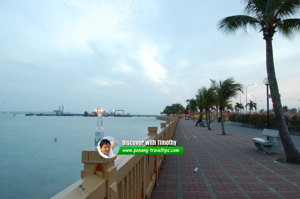
The nearest MRT Station is the one at Changi Airport MRT Station (CG2) on the East-West Line. Changi Beach Park, Singapore
List of Planning Areas in Singapore and Places in Singapore; Discover Singapore
 Copyright © 2003-2025 Timothy Tye. All Rights Reserved.
Copyright © 2003-2025 Timothy Tye. All Rights Reserved.

 Go Back