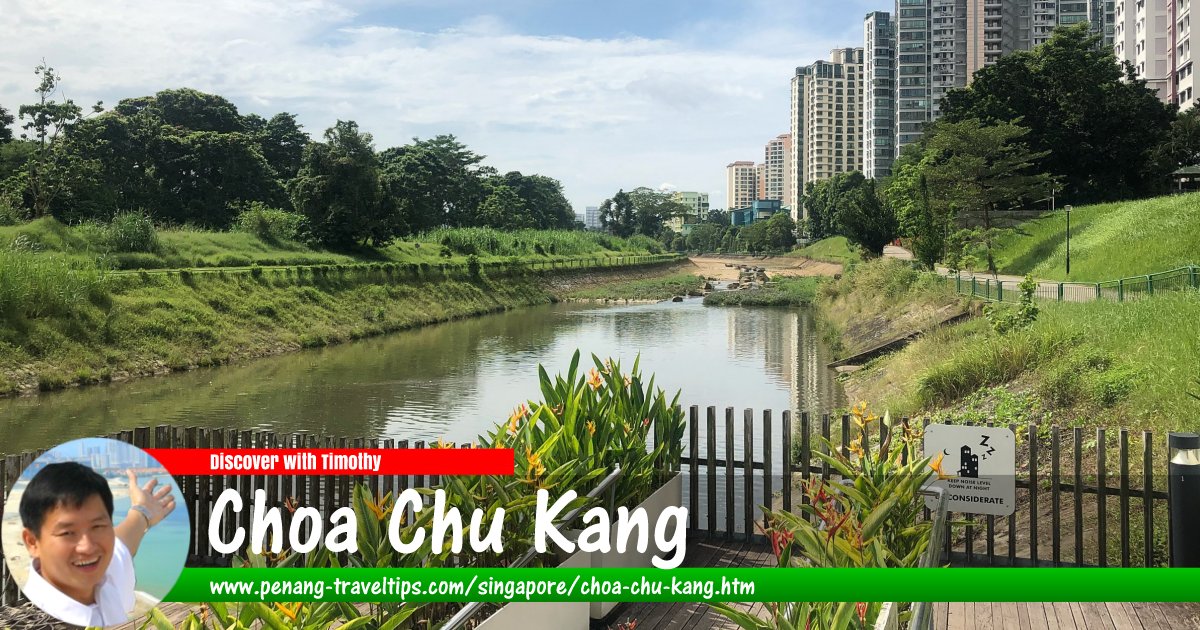
 Pang Sua Park Connector in Choa Chu Kang, Singapore
Wzhkevin, CC BY-SA 4.0, via Wikimedia Commons
Choa Chu Kang (GPS: 1.38398, 103.74696), formerly written Chua Chu Kang and some times Chao Chu Kang, is a suburb (known in local nomenclature as "planning area") in the Western Region of Singapore. It is divided into neighbourhoods called subzone. There are six subzones to Choa Chu Kang. They are Choa Chu Kang Central, Choa Chu Kang North, Keat Hong, Peng Siang, Teck Whye and Yew Tee.
Choa Chu Kang is located in Singapore Postal District 23.
Choa Chu Kang derives its name from the Chinese settlement of Choa Chu Kang which existed here since the mid 19th century. It is a common practise at that time for early settlers to name the settlements according to the surname of the clan - in most cases, the settlers all come from the same clan originating in a province in Fujian province.
In the case of Choa Chu Kang, it refers to the Chua clan ("Chua Chu" means Chua household). The "Kang" refers to the river flowing through the area. Hence, Choa Chu Kang means "Chua clan river".
Early settlers at Choa Chu Kang were pepper and gambier farmers of Teochew descent. Hokkien people later came to settle there, towards the late 19th and turn of the 20th century. They grew pineapple, rubber and coconut and engaged in pig and poultry farming.
The spelling of "Chua Chu Kang" was changed to "Choa Chu Kang" when the Choa Chu Kang New Town was developed. However the original spelling was retained for the Choa Chu Kang cemetery.
Map of Choa Chu Kang, Singapore
Rail transit stations in Choa Chu Kang
- Choa Chu Kang MRT Station (GPS: 1.38551, 103.74426)

- Keat Hong LRT Station (GPS: 1.37867, 103.74893)

- Phoenix LRT Station (GPS: 1.37848, 103.75762)

- South View LRT Station (GPS: 1.38031, 103.74522)

- Teck Whye LRT Station (GPS: 1.37687, 103.75294)

Sights in Choa Chu Kang
- Choa Chu Kang Park (GPS: 1.38798, 103.7474)

- Uttamayanmuni Buddhist Temple (GPS: 1.37848, 103.7457)

Amenities in Choa Chu Kang
School at Choa Chu Kang include Choa Chu Kang Primary School, Concord Primary School, De La Salle School, Kranji Primary School, South View Primary School, Teck Whye Primary School, Unity Primary School, Yew Tee Primary School, Bukit Panjang Government High School, Choa Chu Kang Secondary School, Kranji Secondary School, Regent Secondary School, Teck Whye Secondary School, Unity Secondary School, Pioneer Junior College and the ITW College West.Retail premises at Choa Chu Kang include Lot One, Keat Hong Shopping Centre and Sunshine Place. Recreational space is provided by Choa Chu Kang Park. Other institutions include the Choa Chu Kang Swimming Complex and Choa Chu Kang Stadium. The Sri Murugan Hill Temple is one of the places of worship here.
Getting there
Choa Chu Kang MRT Station (NS4) on the North-South Line serves the township. Choa Chu Kang is also served by the Bukit Panjang LRT, a 7.8 km light rail transit that opened in 1999. Choa Chu Kang
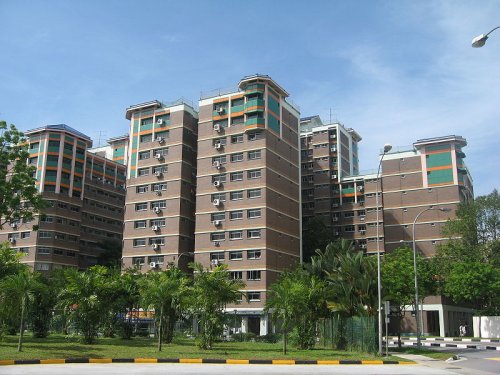
 https://commons.wikimedia.org/wiki/File:Choa_Chu_Kang_HDB_2.JPG
 Terence Ong
List of Planning Areas in Singapore and Places in Singapore; Discover Singapore
 Copyright © 2003-2025 Timothy Tye. All Rights Reserved.
Copyright © 2003-2025 Timothy Tye. All Rights Reserved.

 Go Back