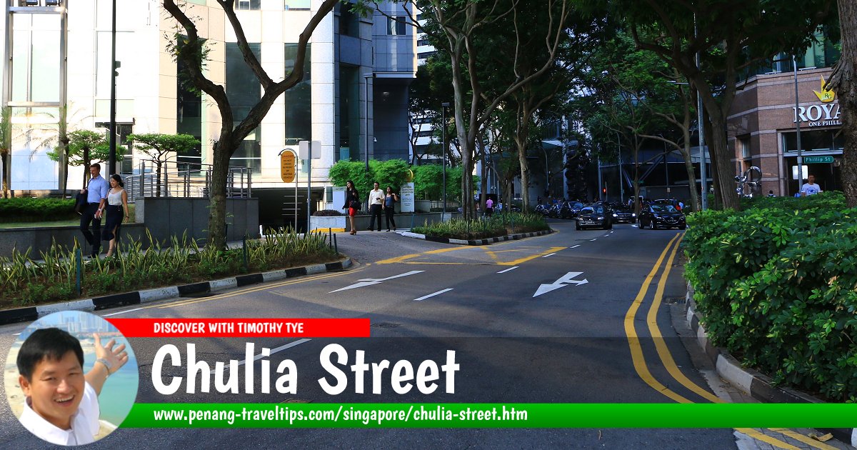
 Chulia Street, Singapore (28 July 2017)
Chulia Street is a short road in the Financial District of Singapore. It is located between Battery Road and South Canal Road, and has junctions leading to Phillip Street and Market Street.
Map of Chulia Street, Singapore
Sights along Chulia Street, Singapore
- CapitaSpring (GPS: 1.28495, 103.85024)

- OCBC Centre East (GPS: 1.28516, 103.84974)

- Royal One Phillip (GPS: 1.28501, 103.85004)

- UOB Plaza (GPS: 1.28539, 103.85063)

The name Kling, or Keling, refers to the Kalinga kingdom of South India. As such, South Indians are known as Kalinga in Hokkien and Orang Keling in Malay. While the original meaning of Kling has nothing offensive attached to it, in Singapore as well as Malaysia the name Kling took on a derogatory note among the South Indians themselves. Many of South Indians who arrived in Singapore in the early 19th century were convicts sent there to do hard labour constructing the roads, batteries and civic buildings. The name Kling is said to remind them of the sound made by the chains binding the feet of the convicts. As such, many South Indians take offence to being called Kling.
Apparently this same reason caused the street to be renamed from Kling Street to Chulia Street. Chulia is another name used to call South Indians. It refers to the Chola dynasty, a Tamil dynasty that was the longest ruling dynasty in southern India, from the 3rd century BC to the 12th century AD. The Chulia name brings an association with the pinnacle of Tamil civilization, when South Indian influence extended across the Bay of Bengal all the way to the Malay peninsula and Cambodia.
In the early part of the 20th century, Chulia Street still had a predominantly South Asian appearance. This was where you could find Indian merchants, traders and money lenders along with shops operated by Indian Muslims of Gujerati descent. It was only in the mid 1970's that the street took on a dramatic change, with the arrival of 30-storey UOB Building in 1973 and then 52-storey OCBC Centre in 1976, both the tallest buildings in Singapore at the time of their completion.
How to reach Chulia Street
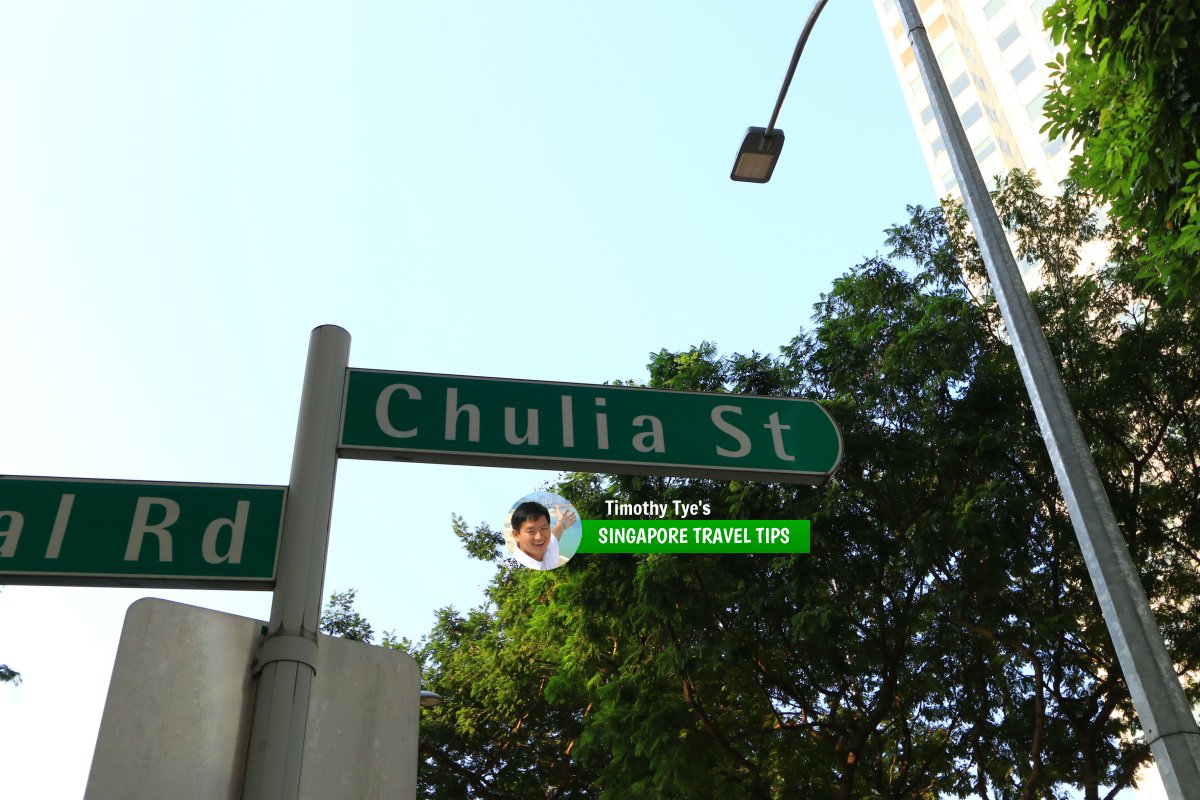
Take the North-South Line or the East-West Line of the Singapore MRT to the Raffles Place MRT Station. Chulia Street roadsign (28 July 2017)
List of the Streets in Singapore; Discover Singapore
 Copyright © 2003-2025 Timothy Tye. All Rights Reserved.
Copyright © 2003-2025 Timothy Tye. All Rights Reserved.

 Go Back