 Circular Road, Singapore (28 July 2017)
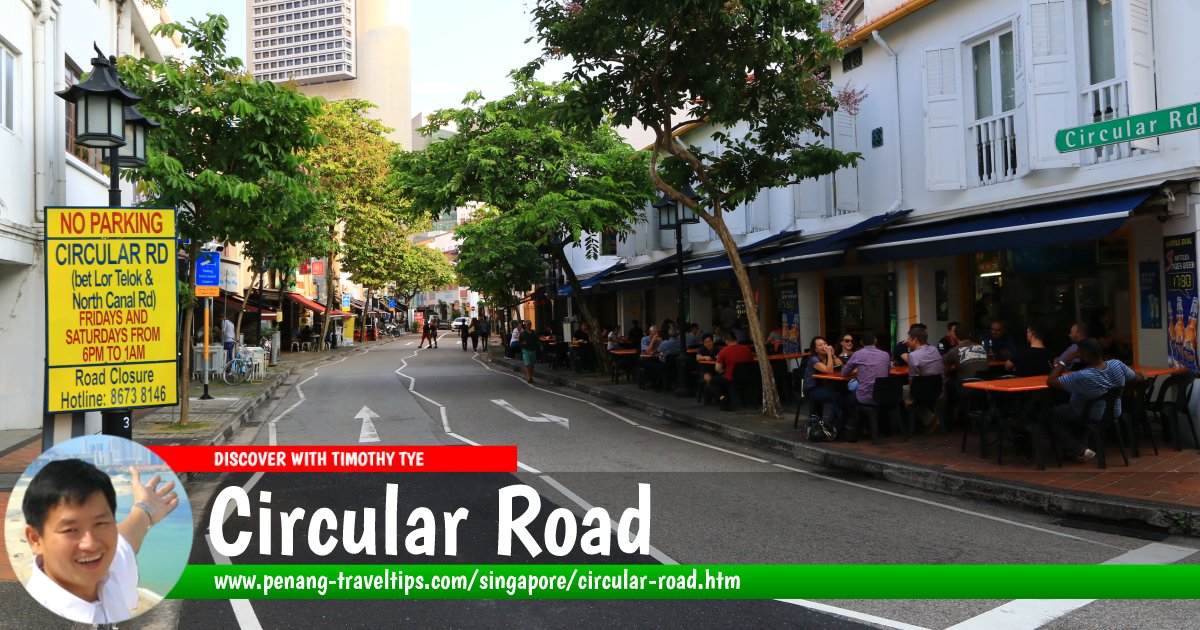
Circular Road is a minor road in downtown Singapore. Though narrow, it has two lane traffic, one in each direction. The road connects South Bridge Road to North Canal Road, somewhat parallel to the bank of the Singapore River.
According to Singapore Street Names, Circular Road dates back to the late 1820s. It appeared on George Coleman's Map of Singapore of 1836. Stamford Raffles included it in the plan for Singapore as a road to link South Bridge Road with Market Street and Commercial Square, which is now known today as Raffles Place.
Many of the shophouses along Circular Road dates to 1831. This is after earlier development was razed by a fire that destroyed many of the houses on Philip Street, one side of Market Street, and part of Circular Road. Today Circular Road is known for its role as a nightlife and F&B haven. It is a watering hole for expatriates and office workers.
Map of Circular Road, Singapore
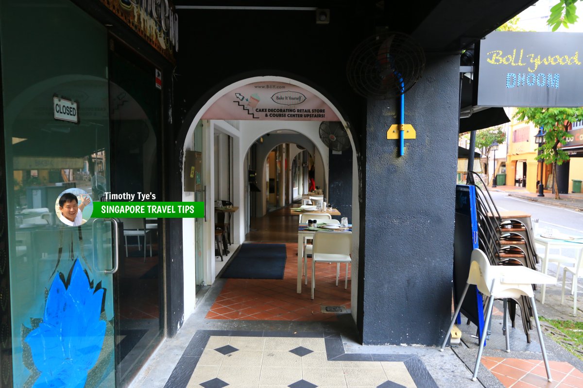
 Passageway known as five-foot way strings the restaurants at Circular Road. (28 July 2017)
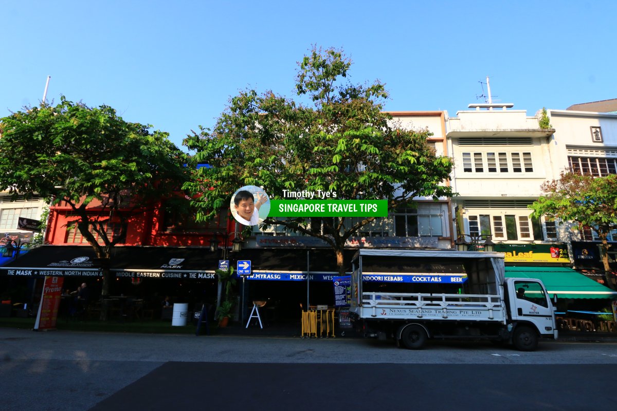
 Shophouses readapted as restaurants along Circular Road. (28 July 2017)
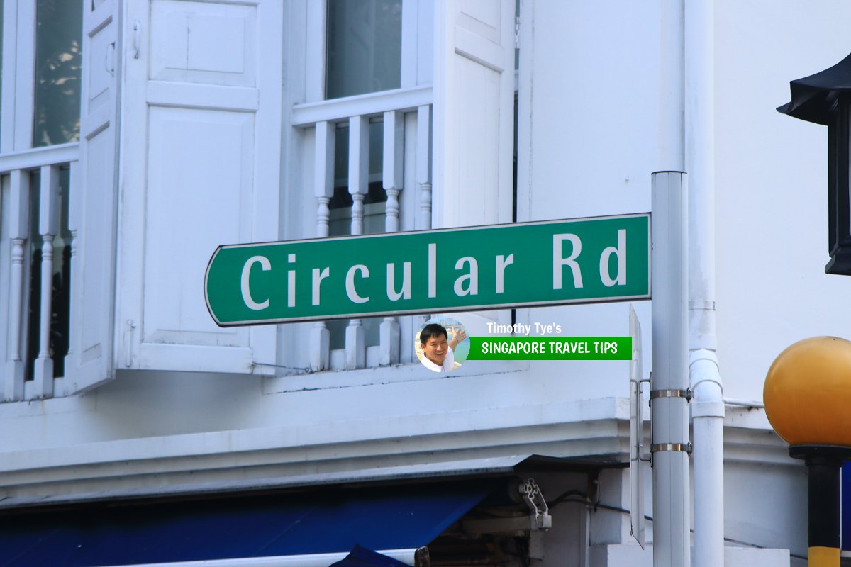
 Circular Road roadsign (28 July 2017)
Circular Road Singapore on Google Street View
Circular Road Singapore (Feb 2022)References
- Singapore Street Names - A Study of Toponymics by Victor R Savage and Brenda S.A. Yeoh (2013), ISBN 978-981-4408-35-6
List of the Streets in Singapore; Discover Singapore
 Copyright © 2003-2025 Timothy Tye. All Rights Reserved.
Copyright © 2003-2025 Timothy Tye. All Rights Reserved.

 Go Back