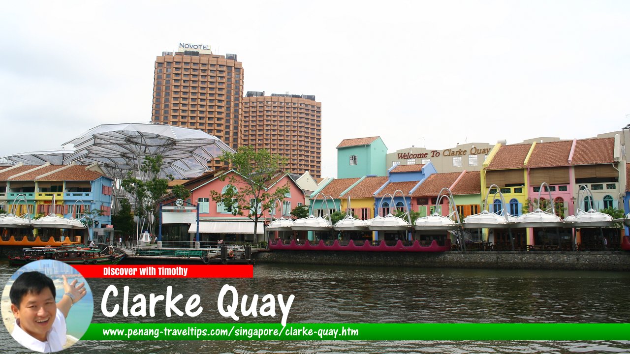
 Clarke Quay, Singapore (9 July 2006)
Clarke Quay is a historic quay and today a subzone of the Singapore River Planning Area, Singapore. The Clarke Quay subzone is bounded by River Valley Road, New Bridge Road, Havelock Road and Clemenceau Avenue.
Clarke Quay is located upsteam from Boat Quay. Clarke Quay is named after Sir Andrew Clarke, the second Governor of the Straits Settlements. According to Singapore Street Names1, Clarke Quay got its name in 1896. The streets that today bear the name Clarke Quay was originally two streets called East Street and West Street, on the northern part of Kampong Melaka. Today the Clarke Quay area has been transformed into a popular food and beverage precinct. The subzone covers 30 hectares, representing 31% of the Singapore River Planning Area.
During colonial times, Clarke Quay was where godowns (dockside warehouses) were located. Barges would bring the goods from the ships anchored at the mouth of the Singapore River upstream to Clarke Quay. At the height of trading, Singapore river is choked with bumboats jostling for position. Needless to say, the Singapore River was very polluted at that time.
After independence, the Singapore Government took steps to clean up Singapore River. By the mid 1980's all the trading companies have vacated Clarke Quay, as they did Boat Quay, and the government set in motion plans to revitalise Clarke Quay as a commercial, residential and entertainment enclave. The shophouses and godowns at Clarke Quay, Clarke Street and Reed Street were preserved, and the place turned into a pedestrian mall, complete with overhead shelter.
Map of Clarke Quay, Singapore
Sights at Clarke Quay, Singapore
- Canninghill Piers (GPS: 1.29156, 103.84463)

- Riverside Point (GPS: 1.28943, 103.8441)

Streets at Clarke Quay, Singapore
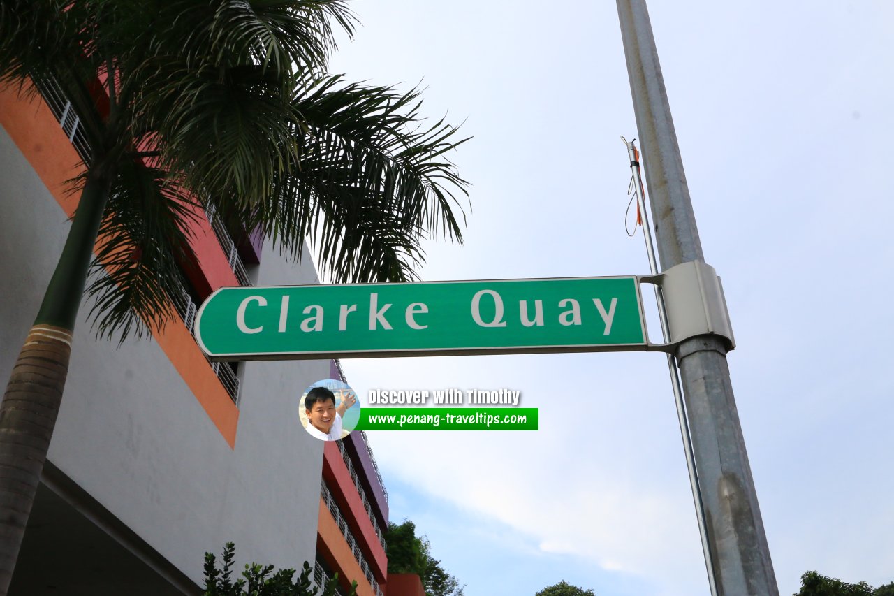 Clarke Quay roadsign (30 July 2017)
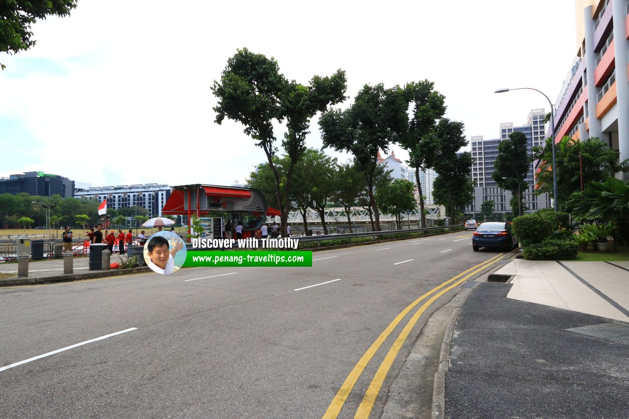 The road now known as Clarke Quay, skirting the Canninghill Piers development. (30 July 2017)
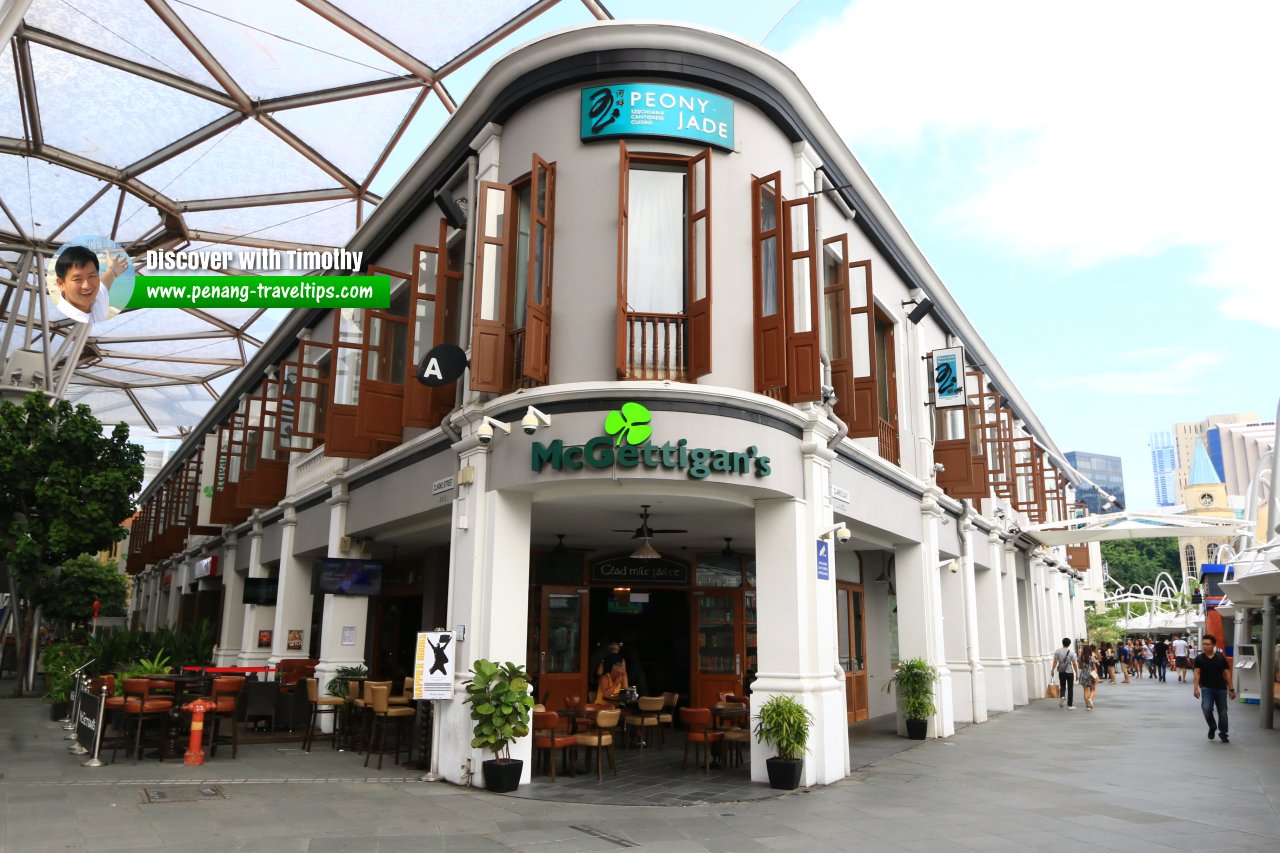 Restored and readapted shophouses at Clarke Quay, Singapore (30 July 2017)
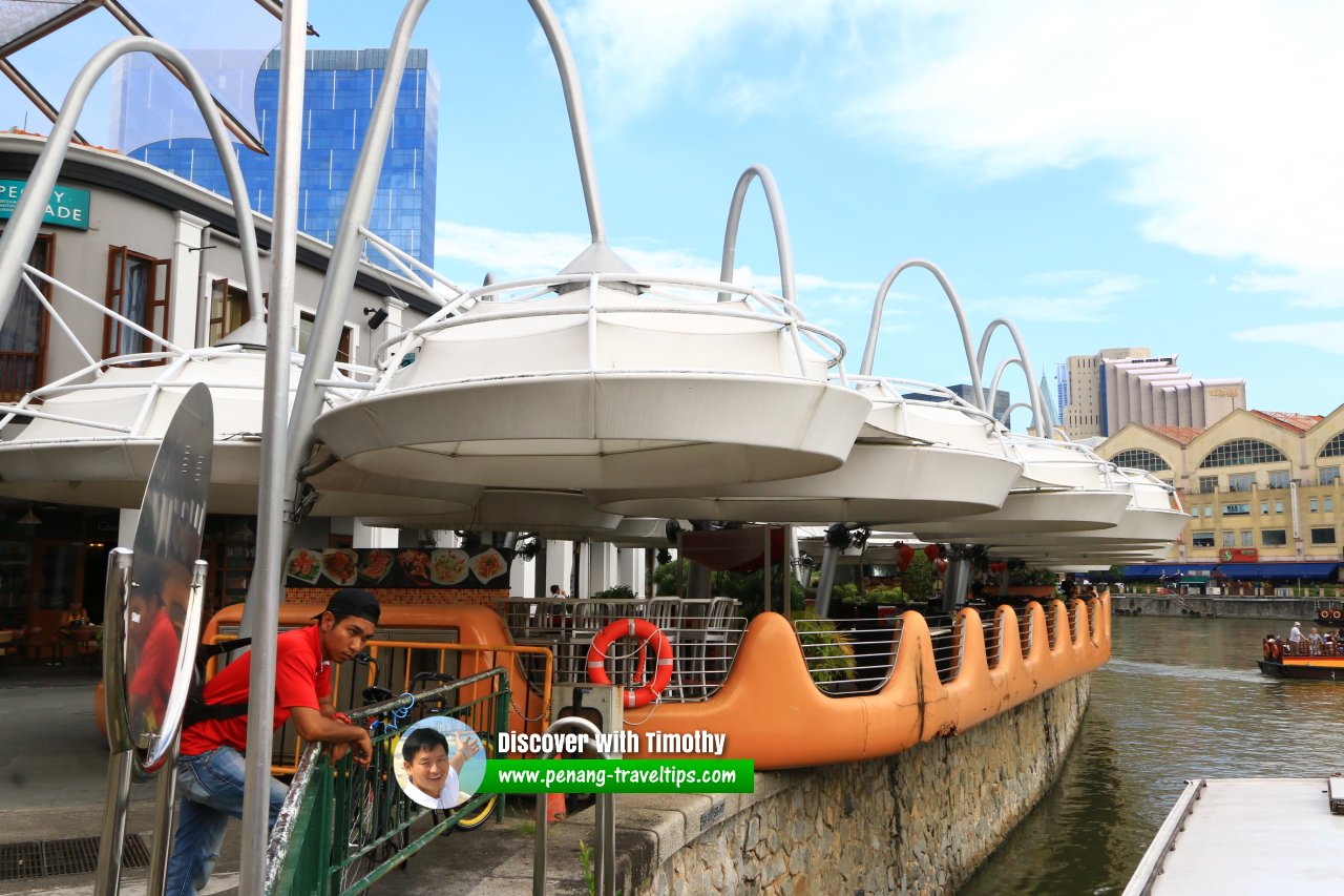 House of Seafood, Clarke Quay, Singapore (30 July 2017)
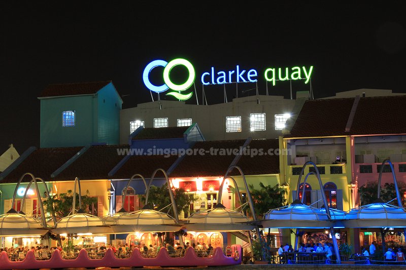 Clarke Quay at night (9 July 2011)
References
- Singapore Street Names - A Study of Toponymics by Victor R Savage and Brenda S.A. Yeoh (2013, 2023), ISBN 978-981-4408-35-6
- What's in the Name? How the Streets and Villages in Singapore Got Their Names by Ng Yew Peng (2018), ISBN 978-981-32-2139-0
List of Quays in Singapore; Discover Singapore
 Copyright © 2003-2025 Timothy Tye. All Rights Reserved.
Copyright © 2003-2025 Timothy Tye. All Rights Reserved.

 Go Back