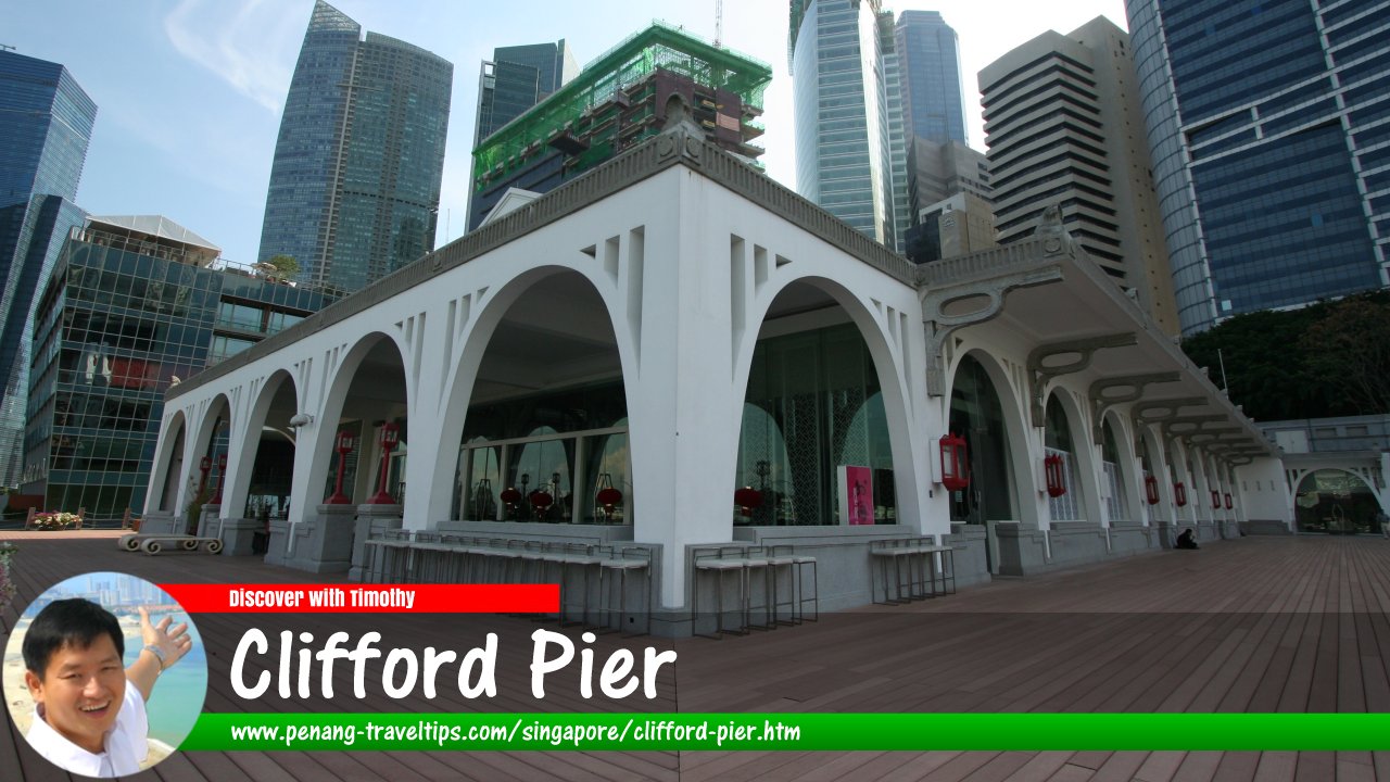
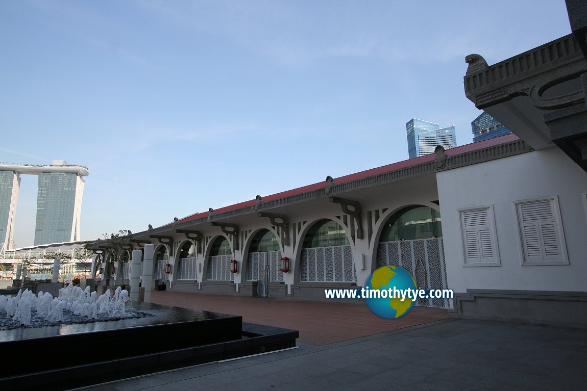
 Clifford Pier, Singapore (11 September, 2010)
Clifford Pier (GPS: 1.28398, 103.85363) is a restored heritage pier in downtown Singapore. Today the name is also used for a subzone of the Downtown Core Planning Area surrounding that pier.
Clifford Pier located next to Battery Road in Marina Bay. The area surrounding Clifford Pier is today designated the Clifford Pier Subzone, a planning area within the Downtown Core.
Clifford Pier was built between 1927 and 1933, and was named after Sir Hugh Clifford, the Governor of the Straits Settlements between 1927 and 1929. It was designed by the Public Works Department, under Frank Dorrington Ward, the Chief Architect.
Clifford Pier replaces Johnston Pier, which has today disappeared under land reclamation. Johnston Pier was named after A.L. Johnston, an early European merchant in Singapore and one of the founders of the Chamber of Commerce. He was highly respected among the merchant community, and his import-export business had a direct connection with the harbor.
European merchants were opposed to the new pier named after a government administrator, and wanted the name Johnston Pier to be reinstated. They do not regard the name Clifford appropriate for the pier, as Sir Hugh Clifford had no connection with the harbor, other than being governor of the island. When the government went ahead to name it Clifford Pier, the merchants retaliated by boycotting the official opening of the pier. Nonetheless the government's choice prevailed.
Immigrants of the early 20th century used to arrive in Singapore at Clifford Pier. The Chinese called the pier "Ang3 Teng3 Cun3 Thau2"
 (POJ: Âng Teng Chûn-thâu; CC: 紅燈船頭) in Hokkien and Hoong Tang Mah Thow in Cantonese, both meaning Red Lattern Pier. Long after it has ceased that operation, Clifford pier was used for ferry services and boat trips to the outlying islands, particularly for pilgrimage trips to Kusu Island.
The use of Clifford Pier for ferry services ceased on 1 April 2006. At the same time, the construction of the Marina Barrage means that Marina Bay will be turned into a reservoir. Ferry services was then transferred to Marina South Pier. The position of Clifford Pier is safeguarded by it being gazetted by the National Heritage Board for conservation.
Clifford Pier underwent restoration in 2010, and is now part of The Fullerton Bay Hotel.
Taking the MRT to Clifford Pier
The nearest MRT stations are the Raffles Place MRT Station (EW14/NS26).Map of Clifford Pier Subzone, Singapore
 Clifford Pier, Singapore (11 September, 2010)
Clifford Pier is  on the Map of Collyer Quay, Singapore
Clifford Pier is  on the Map of Marina Bay, Singapore
List of the Historic Buildings in Singapore; Discover Singapore
 Copyright © 2003-2025 Timothy Tye. All Rights Reserved.
Copyright © 2003-2025 Timothy Tye. All Rights Reserved.

 Go Back